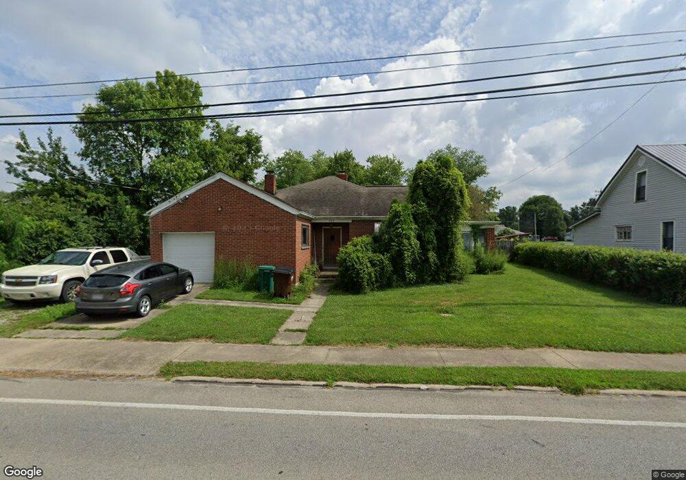
404 W Main St Mount Orab, OH 45154
Estimated Value: $448,000 - $628,000
3
Beds
3
Baths
3,348
Sq Ft
$151/Sq Ft
Est. Value
About This Home
This home is located at 404 W Main St, Mount Orab, OH 45154 and is currently estimated at $505,136, approximately $150 per square foot. 404 W Main St is a home located in Brown County with nearby schools including Western Brown High School.
Ownership History
Date
Name
Owned For
Owner Type
Purchase Details
Closed on
Jun 19, 2015
Sold by
Douglas Karl
Bought by
Herrmann Jeffrey P and Herrmann Micah Ashley
Current Estimated Value
Home Financials for this Owner
Home Financials are based on the most recent Mortgage that was taken out on this home.
Original Mortgage
$204,300
Outstanding Balance
$158,630
Interest Rate
3.82%
Mortgage Type
New Conventional
Estimated Equity
$346,506
Create a Home Valuation Report for This Property
The Home Valuation Report is an in-depth analysis detailing your home's value as well as a comparison with similar homes in the area
Home Values in the Area
Average Home Value in this Area
Purchase History
| Date | Buyer | Sale Price | Title Company |
|---|---|---|---|
| Herrmann Jeffrey P | $302,667 | Attorney |
Source: Public Records
Mortgage History
| Date | Status | Borrower | Loan Amount |
|---|---|---|---|
| Open | Herrmann Jeffrey P | $204,300 |
Source: Public Records
Tax History Compared to Growth
Tax History
| Year | Tax Paid | Tax Assessment Tax Assessment Total Assessment is a certain percentage of the fair market value that is determined by local assessors to be the total taxable value of land and additions on the property. | Land | Improvement |
|---|---|---|---|---|
| 2024 | $3,921 | $127,670 | $14,330 | $113,340 |
| 2023 | $3,921 | $98,620 | $10,090 | $88,530 |
| 2022 | $3,268 | $98,620 | $10,090 | $88,530 |
| 2021 | $3,136 | $98,620 | $10,090 | $88,530 |
| 2020 | $2,753 | $82,180 | $8,410 | $73,770 |
| 2019 | $2,937 | $82,180 | $8,410 | $73,770 |
| 2018 | $2,980 | $82,180 | $8,410 | $73,770 |
| 2017 | $2,629 | $70,680 | $8,410 | $62,270 |
| 2016 | $2,630 | $70,680 | $8,410 | $62,270 |
| 2015 | $2,546 | $70,680 | $8,410 | $62,270 |
| 2014 | $2,546 | $69,910 | $7,640 | $62,270 |
| 2013 | $2,385 | $65,660 | $3,390 | $62,270 |
Source: Public Records
Map
Nearby Homes
- 309 1/2 Water St
- 329 E Main St
- 402 E Main St
- 408 Smith Ave
- 216 Red Bud Ln
- 213 Katelin Ln
- 100 Robin Ave
- 108 Boulder Dr
- 204 Katelin Ln
- 506 E Main St
- 3524 Pleasant Hill Rd
- 103 Stone Trace Dr
- 0 State Route 32 Unit 1795308
- 14663 Day Rd
- 100 Longwood Blvd
- 505 Linda Way
- 115 Sweet Bay Trail
- 150 Lonny St
- 202 Gregory St
- 108 Lonny St