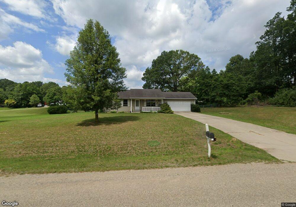
40404 Robin St Mattawan, MI 49071
Estimated Value: $338,000 - $355,000
--
Bed
--
Bath
1,078
Sq Ft
$322/Sq Ft
Est. Value
About This Home
This home is located at 40404 Robin St, Mattawan, MI 49071 and is currently estimated at $346,597, approximately $321 per square foot. 40404 Robin St is a home located in Van Buren County with nearby schools including Paw Paw Early Elementary School, Paw Paw Later Elementary School, and Paw Paw Middle School.
Ownership History
Date
Name
Owned For
Owner Type
Purchase Details
Closed on
Dec 3, 2010
Sold by
Townsend Joseph M and Townsend Erin
Bought by
Almaguer Pam and Edson Elton L
Current Estimated Value
Home Financials for this Owner
Home Financials are based on the most recent Mortgage that was taken out on this home.
Original Mortgage
$134,900
Outstanding Balance
$96,042
Interest Rate
4.19%
Mortgage Type
Unknown
Estimated Equity
$250,555
Purchase Details
Closed on
Jan 2, 2002
Bought by
Townsend Joseph M
Purchase Details
Closed on
Jun 11, 2001
Bought by
Lewis F Roberts Inc
Create a Home Valuation Report for This Property
The Home Valuation Report is an in-depth analysis detailing your home's value as well as a comparison with similar homes in the area
Home Values in the Area
Average Home Value in this Area
Purchase History
| Date | Buyer | Sale Price | Title Company |
|---|---|---|---|
| Almaguer Pam | $134,900 | Ctic | |
| Townsend Joseph M | $15,500 | -- | |
| Lewis F Roberts Inc | $15,000 | -- |
Source: Public Records
Mortgage History
| Date | Status | Borrower | Loan Amount |
|---|---|---|---|
| Open | Almaguer Pam | $134,900 |
Source: Public Records
Tax History Compared to Growth
Tax History
| Year | Tax Paid | Tax Assessment Tax Assessment Total Assessment is a certain percentage of the fair market value that is determined by local assessors to be the total taxable value of land and additions on the property. | Land | Improvement |
|---|---|---|---|---|
| 2025 | $933 | $165,000 | $0 | $0 |
| 2024 | $933 | $159,800 | $0 | $0 |
| 2023 | $889 | $147,300 | $0 | $0 |
| 2022 | $2,798 | $128,900 | $0 | $0 |
| 2021 | $2,740 | $104,200 | $29,100 | $75,100 |
| 2020 | $2,603 | $104,200 | $29,100 | $75,100 |
| 2019 | $2,482 | $97,200 | $97,200 | $0 |
| 2018 | $2,425 | $93,300 | $93,300 | $0 |
| 2017 | $2,377 | $84,300 | $0 | $0 |
| 2016 | $2,362 | $80,300 | $0 | $0 |
| 2015 | $2,100 | $80,300 | $0 | $0 |
| 2014 | $2,061 | $80,600 | $0 | $0 |
| 2013 | -- | $74,400 | $74,400 | $0 |
Source: Public Records
Map
Nearby Homes
- 24108 Cr 375
- 23424 38th Ave
- 10696 W L Ave
- 1710 Toscana St
- 10387 W L Ave
- 2109 Toscana St
- 2034 Sienna St
- 1881 Sienna St
- 24402 Thousand Oaks Dr
- 41240 County Road 652
- 10145 W Kl Ave
- 10791 W Main St
- 0 N 1st St
- 22108 W M 43
- 10575 W Main St Unit 10577
- 23440 E McGillen Ave Unit Parcel B
- 23440 E McGillen Ave Unit Parcel A
- 58927 Norton St
- 58418 Norton St
- 24532 Vargas
- 23137 County Road 375
- 23011 County Road 375
- 22100 Robin St
- 22930 Bluebird Ave
- 40421 Robin St
- 40431 Robin St
- 40428 Robin St
- 23108 County Road 375
- 40436 Robin St
- 22901 Bluebird Ave
- 23277 County Road 375
- 22878 Bluebird Ave
- 39773 23rd St
- 23028 Bobolink Ave
- 23090 Bobolink Ave
- 23252 County Road 375
- 40560 Robin St
- 22978 Bobolink Ave
- 22912 County Road 375
- 22822 Bluebird Ave