4041 Brookstone Ct Howell, MI 48843
Estimated Value: $427,611 - $488,000
4
Beds
3
Baths
2,234
Sq Ft
$207/Sq Ft
Est. Value
About This Home
This home is located at 4041 Brookstone Ct, Howell, MI 48843 and is currently estimated at $463,153, approximately $207 per square foot. 4041 Brookstone Ct is a home located in Livingston County with nearby schools including Ruahmah J. Hutchings Elementary, Parker Middle School, and Howell High School.
Ownership History
Date
Name
Owned For
Owner Type
Purchase Details
Closed on
Jun 24, 2005
Sold by
Chafy Laura K and Chafy Ronald H
Bought by
Alexander Michael J and Alexander Rebecca
Current Estimated Value
Home Financials for this Owner
Home Financials are based on the most recent Mortgage that was taken out on this home.
Original Mortgage
$144,500
Outstanding Balance
$72,701
Interest Rate
5.2%
Mortgage Type
Unknown
Estimated Equity
$390,452
Purchase Details
Closed on
Jul 22, 1994
Sold by
Arnick Const
Bought by
Chafey Ronald H and Chafey K
Create a Home Valuation Report for This Property
The Home Valuation Report is an in-depth analysis detailing your home's value as well as a comparison with similar homes in the area
Home Values in the Area
Average Home Value in this Area
Purchase History
| Date | Buyer | Sale Price | Title Company |
|---|---|---|---|
| Alexander Michael J | $274,500 | -- | |
| Chafey Ronald H | $203,000 | -- |
Source: Public Records
Mortgage History
| Date | Status | Borrower | Loan Amount |
|---|---|---|---|
| Open | Alexander Michael J | $144,500 |
Source: Public Records
Tax History Compared to Growth
Tax History
| Year | Tax Paid | Tax Assessment Tax Assessment Total Assessment is a certain percentage of the fair market value that is determined by local assessors to be the total taxable value of land and additions on the property. | Land | Improvement |
|---|---|---|---|---|
| 2025 | $3,861 | $200,700 | $0 | $0 |
| 2024 | $2,158 | $179,100 | $0 | $0 |
| 2023 | $2,062 | $162,600 | $0 | $0 |
| 2022 | $2,915 | $126,900 | $0 | $0 |
| 2021 | $2,880 | $155,100 | $0 | $0 |
| 2020 | $2,888 | $135,000 | $0 | $0 |
| 2019 | $2,844 | $126,900 | $0 | $0 |
| 2018 | $2,741 | $115,700 | $0 | $0 |
| 2017 | $2,656 | $115,700 | $0 | $0 |
| 2016 | $2,694 | $114,000 | $0 | $0 |
| 2014 | $2,631 | $116,100 | $0 | $0 |
| 2012 | $2,631 | $101,600 | $0 | $0 |
Source: Public Records
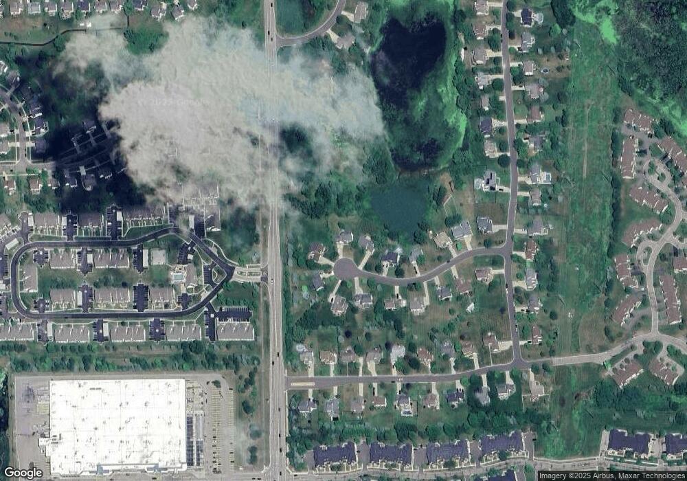
Map
Nearby Homes
- 452 Cloverview Ln
- 4153 Hampton Ridge Blvd Unit 3
- 4184 Hampton Ridge Blvd
- 4240 Hampton Ridge Blvd
- 4412 Aster Blvd
- VL E Grand River N
- 3659 Sugarbush Dr Unit 116
- 3429 Snowden Ln Unit 108
- 3449 Dewdrop Ln
- 4644 Summer Ridge Dr
- 3305 Dewdrop Ln
- 0 Victory Dr Unit 20240009532
- 584 Black Oaks Trail
- 600 Black Oaks Trail
- 636 Zion Ct
- 628 Olde Ivy Ln Unit 22
- 3991 Rainier Dr Unit 1
- 00 Beck Rd
- 2756 Turning Leaf Dr
- 959 Menominee Dr
- 4069 Brookstone Ct
- 4027 Brookstone Ct
- 4087 Brookstone Ct
- 4028 Brookstone Ct
- 4070 Brookstone Ct
- 4109 Brookstone Ct
- 4042 Brookstone Ct
- 4088 Brookstone Ct
- 4131 Brookstone Ct
- 4110 Brookstone Ct
- 3677 Audrey Rae Ln
- 4057 Aster Blvd
- 4039 Aster Blvd
- 4075 Aster Blvd
- 4128 Brookstone Ct
- 4147 Brookstone Ct
- 4021 Aster Blvd
- 4089 Aster Blvd
- 4111 Aster Blvd
- 3932 Snowden Ln