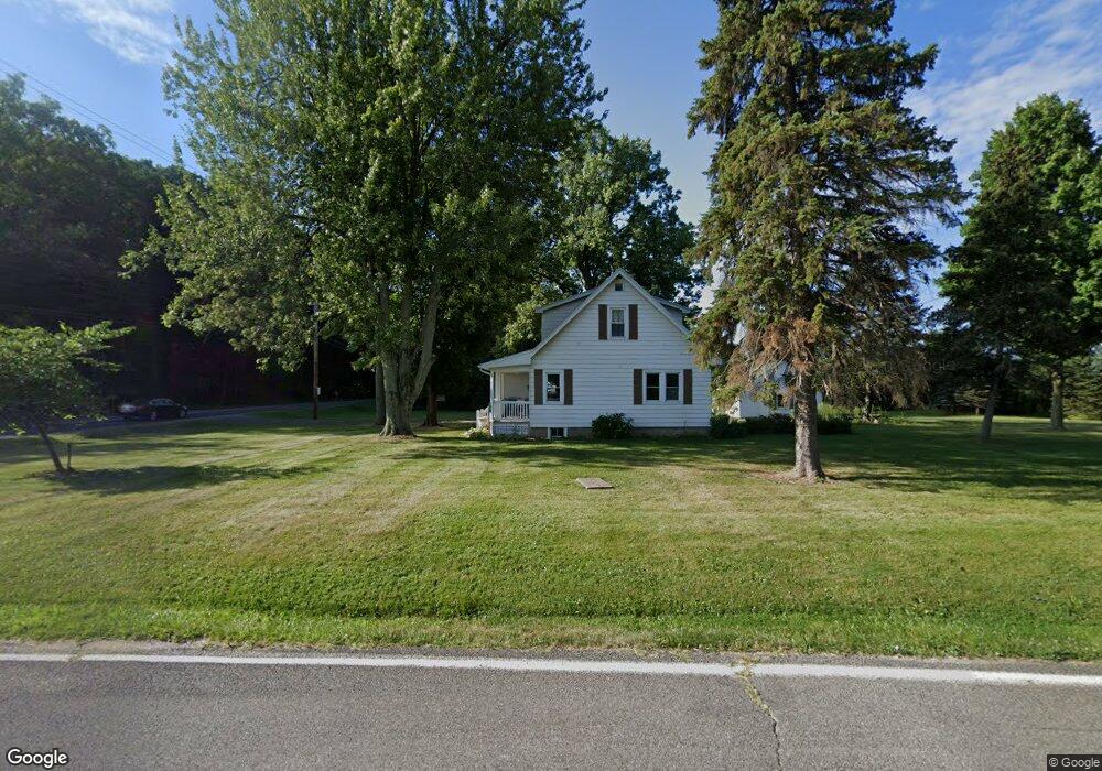
4041 W Howe Rd Dewitt, MI 48820
Estimated Value: $202,277 - $284,000
3
Beds
2
Baths
994
Sq Ft
$260/Sq Ft
Est. Value
About This Home
This home is located at 4041 W Howe Rd, Dewitt, MI 48820 and is currently estimated at $258,319, approximately $259 per square foot. 4041 W Howe Rd is a home located in Clinton County with nearby schools including Schavey Road Elementary School, Herbison Woods Elementary School, and Scott Elementary School.
Ownership History
Date
Name
Owned For
Owner Type
Purchase Details
Closed on
Feb 7, 2019
Sold by
Eiseler Timothy J
Bought by
Kelley Richard L
Current Estimated Value
Purchase Details
Closed on
Nov 4, 2014
Sold by
Higbie Joann K
Bought by
Eiseler Timothy J
Home Financials for this Owner
Home Financials are based on the most recent Mortgage that was taken out on this home.
Original Mortgage
$125,510
Interest Rate
4.21%
Mortgage Type
New Conventional
Purchase Details
Closed on
May 7, 2013
Sold by
Higbie Joann K and Higbie Keith D
Bought by
Higbie Joann K and Higbie Family Trust
Create a Home Valuation Report for This Property
The Home Valuation Report is an in-depth analysis detailing your home's value as well as a comparison with similar homes in the area
Home Values in the Area
Average Home Value in this Area
Purchase History
| Date | Buyer | Sale Price | Title Company |
|---|---|---|---|
| Kelley Richard L | $167,000 | Essential Title Agency Llc | |
| Eiseler Timothy J | $123,000 | Essential Title Agency Llc | |
| Higbie Joann K | -- | None Available |
Source: Public Records
Mortgage History
| Date | Status | Borrower | Loan Amount |
|---|---|---|---|
| Previous Owner | Eiseler Timothy J | $125,510 |
Source: Public Records
Tax History
| Year | Tax Paid | Tax Assessment Tax Assessment Total Assessment is a certain percentage of the fair market value that is determined by local assessors to be the total taxable value of land and additions on the property. | Land | Improvement |
|---|---|---|---|---|
| 2025 | $2,703 | $75,900 | $26,050 | $49,850 |
| 2024 | $8 | $71,550 | $23,650 | $47,900 |
| 2023 | $780 | $69,700 | $0 | $0 |
| 2022 | $2,462 | $64,000 | $23,050 | $40,950 |
| 2021 | $2,393 | $62,950 | $23,150 | $39,800 |
| 2020 | $3,337 | $59,950 | $21,750 | $38,200 |
| 2019 | $1,804 | $56,700 | $20,650 | $36,050 |
| 2018 | $1,761 | $56,350 | $19,250 | $37,100 |
| 2017 | $1,709 | $54,100 | $19,000 | $35,100 |
| 2016 | $1,709 | $52,450 | $18,400 | $34,050 |
| 2015 | $1,705 | $48,100 | $0 | $0 |
Source: Public Records
Map
Nearby Homes
- 11740 Kalamata Dr
- 3535 Stanwood Dr
- 3343 Silverspring Dr
- 3407 Hidden Ridge Dr
- 3893 Sage Ln
- 1605 Stauffer Ln
- 14013 Ambrosia Ave
- 3783 Wisteria Ln
- 4083 W Herbison Rd
- 1306 Schavey Rd
- 1316 W Geneva Dr
- 1226 S Geneva Dr
- 00 Driftwood Dr
- 0 Driftwood Dr
- 4975 W Cutler Rd
- 603 Cherry St
- 3421 Hawthorne Woods Pkwy
- 513 N Scott St
- 13624 Sienna Pass
- 13894 Luroma Cir
- 4085 W Howe Rd
- 3990 W Howe Rd
- 12100 Airport Rd
- 4076 W Howe Rd
- 4115 W Howe Rd
- 3950 W Howe Rd
- 12101 Airport Rd
- 12160 Airport Rd
- 12140 Airport Rd
- 4147 W Howe Rd
- 00 Airport Rd
- 12167 Airport Rd
- 3860 W Howe Rd
- 3871 W Howe Rd
- 12217 Airport Rd
- 4180 W Howe Rd
- 12246 Airport Rd
- 4224 W Howe Rd
- 12240 Airport Rd
- 3851 W Howe Rd
Your Personal Tour Guide
Ask me questions while you tour the home.