4048 Penhurst Dr Unit 1B Marietta, GA 30062
East Cobb NeighborhoodEstimated Value: $795,000 - $1,007,000
3
Beds
4
Baths
3,554
Sq Ft
$251/Sq Ft
Est. Value
About This Home
This home is located at 4048 Penhurst Dr Unit 1B, Marietta, GA 30062 and is currently estimated at $892,829, approximately $251 per square foot. 4048 Penhurst Dr Unit 1B is a home located in Cobb County with nearby schools including East Side Elementary School, Dodgen Middle School, and Walton High School.
Ownership History
Date
Name
Owned For
Owner Type
Purchase Details
Closed on
Dec 19, 1994
Sold by
Stovall Chris L Sheryl A
Bought by
Sherin William A
Current Estimated Value
Home Financials for this Owner
Home Financials are based on the most recent Mortgage that was taken out on this home.
Original Mortgage
$219,900
Interest Rate
9.26%
Create a Home Valuation Report for This Property
The Home Valuation Report is an in-depth analysis detailing your home's value as well as a comparison with similar homes in the area
Home Values in the Area
Average Home Value in this Area
Purchase History
| Date | Buyer | Sale Price | Title Company |
|---|---|---|---|
| Sherin William A | $274,900 | -- |
Source: Public Records
Mortgage History
| Date | Status | Borrower | Loan Amount |
|---|---|---|---|
| Closed | Sherin William A | $219,900 |
Source: Public Records
Tax History Compared to Growth
Tax History
| Year | Tax Paid | Tax Assessment Tax Assessment Total Assessment is a certain percentage of the fair market value that is determined by local assessors to be the total taxable value of land and additions on the property. | Land | Improvement |
|---|---|---|---|---|
| 2025 | $2,009 | $352,844 | $80,000 | $272,844 |
| 2024 | $2,016 | $352,844 | $80,000 | $272,844 |
| 2023 | $1,693 | $313,732 | $72,000 | $241,732 |
| 2022 | $1,791 | $277,424 | $72,000 | $205,424 |
| 2021 | $1,722 | $254,592 | $57,200 | $197,392 |
| 2020 | $1,722 | $254,592 | $57,200 | $197,392 |
| 2019 | $6,345 | $254,592 | $57,200 | $197,392 |
| 2018 | $6,044 | $240,832 | $57,200 | $183,632 |
| 2017 | $5,875 | $240,832 | $57,200 | $183,632 |
| 2016 | $5,219 | $210,548 | $57,200 | $153,348 |
| 2015 | $5,324 | $210,548 | $57,200 | $153,348 |
| 2014 | $5,537 | $218,620 | $0 | $0 |
Source: Public Records
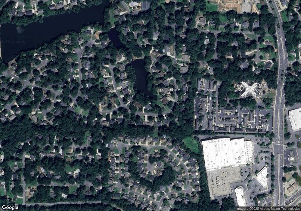
Map
Nearby Homes
- 3999 Tall Pine Dr
- 4039 Tall Pine Dr
- 1038 Seven Springs Cir
- 3792 Raccoon Run
- 1195 Fielding Way
- 4031 Oak Forest Cir
- 4255 Green Ridge Dr
- 1680 Bill Murdock Rd
- 3825 Emerson St
- 4030 Addie Ln Unit 5
- 1164 Fairfield Dr
- 4580 Roswell Rd
- 1942 Hunters Bend Ct
- 1257 Independence Way
- 4121 Fawn Ct
- 2082 Kinsmon Dr
- 4599 Lasalle Ct Unit 8A
- 4095 Audubon Dr
- 4050 Penhurst Dr
- 4055 Penhurst Dr
- 4044 Penhurst Dr
- 4057 Penhurst Dr
- 4053 Penhurst Dr
- 4052 Penhurst Dr
- 4042 Penhurst Dr Unit terrace apt
- 4042 Penhurst Dr
- 4059 Penhurst Dr
- 4054 Penhurst Dr
- 4051 Penhurst Dr Unit 1B
- 4040 Penhurst Dr
- 4061 Penhurst Dr
- 1434 Grovehurst Dr
- 4049 Penhurst Dr
- 1436 Grovehurst Dr
- 1432 Grovehurst Dr
- 4058 Penhurst Dr
- 4038 Penhurst Dr
- 1438 Grovehurst Dr