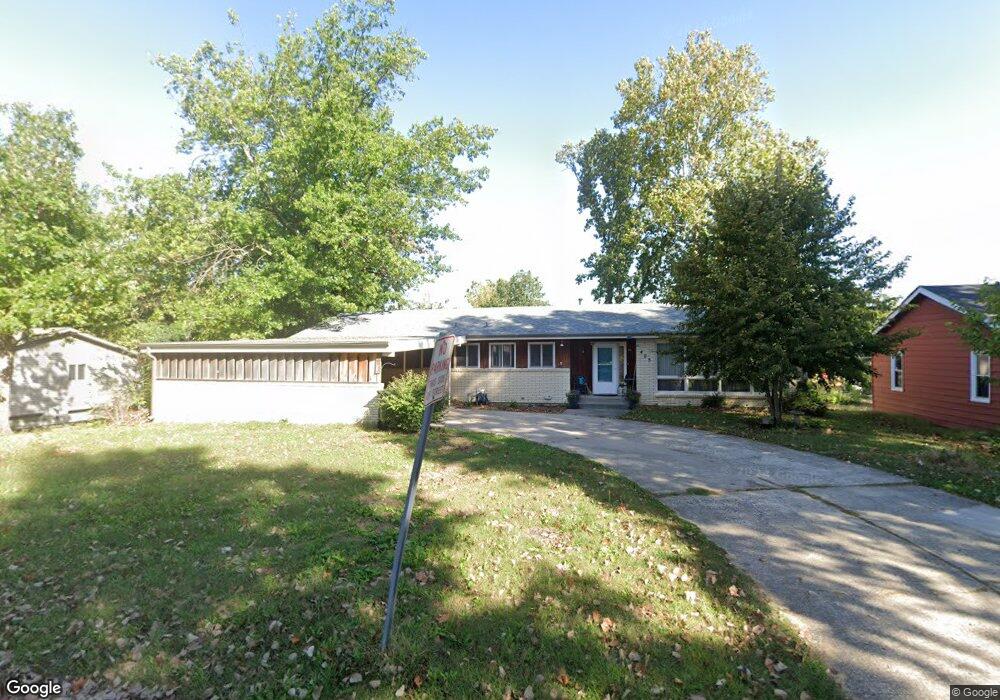
405 Benjamin Dr Warrensburg, MO 64093
Estimated Value: $182,000 - $251,000
3
Beds
2
Baths
1,873
Sq Ft
$124/Sq Ft
Est. Value
About This Home
This home is located at 405 Benjamin Dr, Warrensburg, MO 64093 and is currently estimated at $231,904, approximately $123 per square foot. 405 Benjamin Dr is a home located in Johnson County with nearby schools including Ridge View Elementary School, Sterling Elementary School, and Warrensburg Middle School.
Ownership History
Date
Name
Owned For
Owner Type
Purchase Details
Closed on
Dec 20, 2012
Sold by
Ianno Jennifer Christine
Bought by
Ianno Anthony Joel
Current Estimated Value
Purchase Details
Closed on
Jul 6, 2007
Sold by
Mullin Ralph F and Mullin Nancy A
Bought by
Lanno Anthony J and Lanno Jennifer C
Home Financials for this Owner
Home Financials are based on the most recent Mortgage that was taken out on this home.
Original Mortgage
$25,200
Outstanding Balance
$3,852
Interest Rate
6.37%
Mortgage Type
Future Advance Clause Open End Mortgage
Estimated Equity
$228,052
Create a Home Valuation Report for This Property
The Home Valuation Report is an in-depth analysis detailing your home's value as well as a comparison with similar homes in the area
Home Values in the Area
Average Home Value in this Area
Purchase History
| Date | Buyer | Sale Price | Title Company |
|---|---|---|---|
| Ianno Anthony Joel | -- | None Available | |
| Lanno Anthony J | -- | -- |
Source: Public Records
Mortgage History
| Date | Status | Borrower | Loan Amount |
|---|---|---|---|
| Open | Lanno Anthony J | $25,200 |
Source: Public Records
Tax History Compared to Growth
Tax History
| Year | Tax Paid | Tax Assessment Tax Assessment Total Assessment is a certain percentage of the fair market value that is determined by local assessors to be the total taxable value of land and additions on the property. | Land | Improvement |
|---|---|---|---|---|
| 2024 | $1,709 | $22,376 | $0 | $0 |
| 2023 | $1,709 | $22,376 | $0 | $0 |
| 2022 | $1,646 | $21,455 | $0 | $0 |
| 2021 | $1,640 | $21,455 | $0 | $0 |
| 2020 | $1,587 | $20,534 | $0 | $0 |
| 2019 | $1,586 | $20,534 | $0 | $0 |
| 2017 | $1,582 | $20,534 | $0 | $0 |
| 2016 | $1,458 | $20,534 | $0 | $0 |
| 2015 | $1,497 | $20,534 | $0 | $0 |
| 2014 | $1,299 | $20,534 | $0 | $0 |
Source: Public Records
Map
Nearby Homes
- 225 W Young St
- 608 Laurel St
- 514 N Main St
- 711 Shotwell St
- 123 W Sparks St
- 112 W Russell Ave
- 212 W North St
- 510 Maple St
- 325 W Market St
- 222 W Gay St
- 111 Vamo Rd
- 505 N Holden St
- 116 NW 21st Rd
- 120 N Main St
- 207 E Oak St
- 208 Westgate Ct
- 0 Ming St Unit HMS2553469
- 215 W Market St
- 318 S Main St
- 109 Deerfield Dr