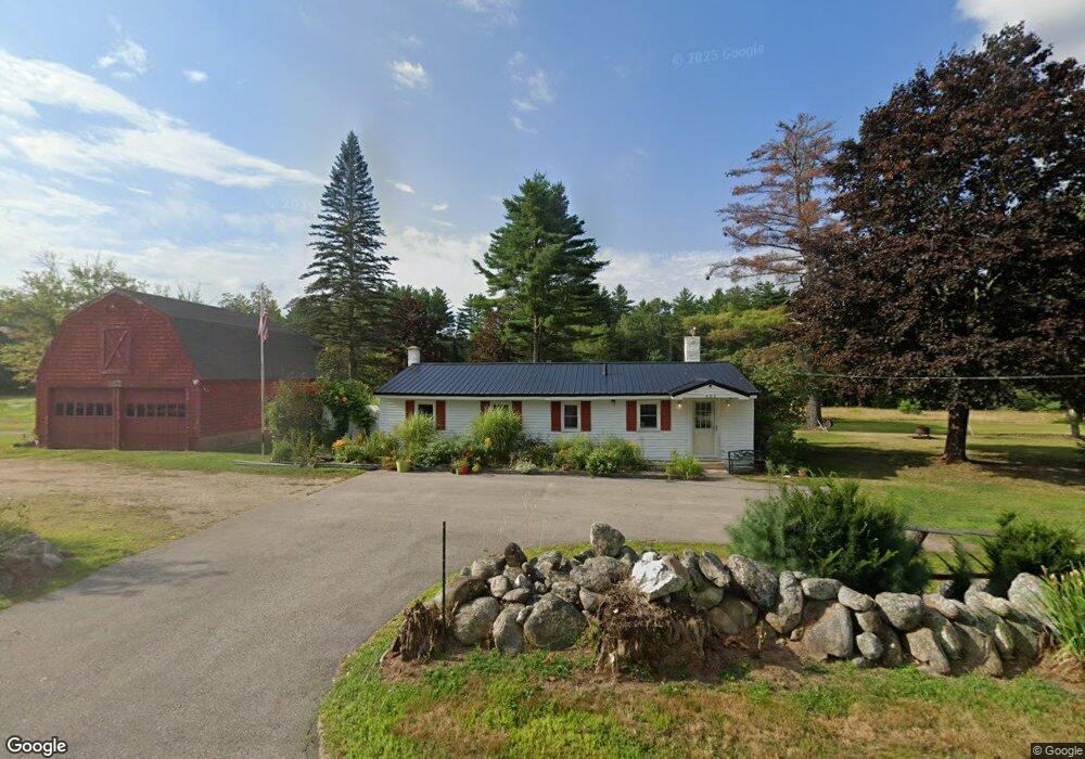
405 Cushing Corner Rd Freedom, NH 03836
Estimated Value: $301,000 - $348,000
3
Beds
1
Bath
1,183
Sq Ft
$269/Sq Ft
Est. Value
About This Home
This home is located at 405 Cushing Corner Rd, Freedom, NH 03836 and is currently estimated at $317,788, approximately $268 per square foot. 405 Cushing Corner Rd is a home with nearby schools including Freedom Elementary School.
Ownership History
Date
Name
Owned For
Owner Type
Purchase Details
Closed on
Jun 18, 2025
Sold by
Nason Pauline M
Bought by
Hachey Tabitha M and Polito Jason M
Current Estimated Value
Home Financials for this Owner
Home Financials are based on the most recent Mortgage that was taken out on this home.
Original Mortgage
$121,850
Outstanding Balance
$121,534
Interest Rate
6.76%
Mortgage Type
Purchase Money Mortgage
Estimated Equity
$196,254
Create a Home Valuation Report for This Property
The Home Valuation Report is an in-depth analysis detailing your home's value as well as a comparison with similar homes in the area
Purchase History
| Date | Buyer | Sale Price | Title Company |
|---|---|---|---|
| Hachey Tabitha M | $150,000 | None Available | |
| Hachey Tabitha M | $150,000 | None Available |
Source: Public Records
Mortgage History
| Date | Status | Borrower | Loan Amount |
|---|---|---|---|
| Open | Hachey Tabitha M | $121,850 | |
| Closed | Hachey Tabitha M | $121,850 |
Source: Public Records
Tax History
| Year | Tax Paid | Tax Assessment Tax Assessment Total Assessment is a certain percentage of the fair market value that is determined by local assessors to be the total taxable value of land and additions on the property. | Land | Improvement |
|---|---|---|---|---|
| 2025 | $2,244 | $303,700 | $107,800 | $195,900 |
| 2024 | $2,181 | $303,700 | $107,800 | $195,900 |
| 2023 | $1,934 | $176,100 | $38,300 | $137,800 |
| 2022 | $1,802 | $176,100 | $38,300 | $137,800 |
| 2021 | $1,911 | $176,100 | $38,300 | $137,800 |
| 2020 | $1,879 | $176,100 | $38,300 | $137,800 |
| 2019 | $1,854 | $136,700 | $40,300 | $96,400 |
| 2018 | $1,768 | $136,700 | $40,300 | $96,400 |
| 2016 | $1,722 | $136,700 | $40,300 | $96,400 |
| 2015 | $1,699 | $140,400 | $45,400 | $95,000 |
| 2014 | $1,713 | $140,400 | $45,400 | $95,000 |
| 2013 | $1,735 | $140,400 | $45,400 | $95,000 |
Source: Public Records
Map
Nearby Homes
- Lot 12 Friedman Ln
- 5-11 Friedman Ln
- 0 Moulton Rd Unit 24-2
- 34 Abenaki Dr
- 112 N Broadbay Rd
- 106 Washington Rd Unit 35
- 118 Washington Rd Unit 55
- Lot 10 Friedman
- 126 Leavitt Rd
- Lot 4 Parsons Rd
- Lot 1 Parsons Rd
- 0 Burnham Rd Unit 35
- 78 School St
- 164 Leavitt Rd
- Lot 26-2 Scarboro Rd
- 10 Spur Rd
- TBD Towle Hill Rd
- 118 Round Pond Rd
- 71 Deer Run Dr
- 895 Green Mountain Rd
- 394 Cushing Corner Rd
- 444 Eaton Rd
- 428 Eaton Rd
- 0 Bennett Rd
- 0 Route 153
- 0 Route 153
- 441 Eaton Rd
- 0 Cushing Corner Rd
- 00 Cushing Corner Rd
- 0 Cushing Corner Rd Unit 4039507
- 0 Cushing Corner Rd Unit 4332963
- 0 Cushing Corner Rd Unit 4751227
- 0 Cushing Corner Rd Unit 4699768
- 3 Watson Hill Rd
- 33 Watson Hill Rd
- 14 Watson Hill Rd
- 6 Watson Hill Rd
- 493 Eaton Rd
- 427 Eaton Rd
- 350 Cushing Corner Rd
Your Personal Tour Guide
Ask me questions while you tour the home.