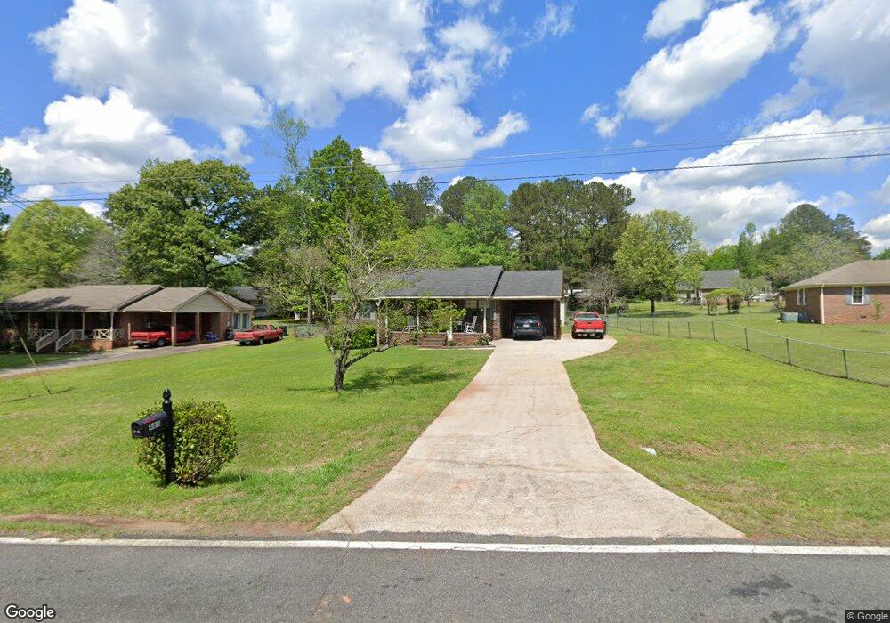
405 Daniel Rd Thomaston, GA 30286
Estimated Value: $168,000 - $200,000
2
Beds
2
Baths
1,053
Sq Ft
$181/Sq Ft
Est. Value
About This Home
This home is located at 405 Daniel Rd, Thomaston, GA 30286 and is currently estimated at $190,249, approximately $180 per square foot. 405 Daniel Rd is a home located in Upson County with nearby schools including Upson-Lee South Elementary School, Upson-Lee North Elementary School, and Upson-Lee Middle School.
Ownership History
Date
Name
Owned For
Owner Type
Purchase Details
Closed on
Sep 27, 2018
Sold by
Debra Mulling
Bought by
Smith Ashley
Current Estimated Value
Home Financials for this Owner
Home Financials are based on the most recent Mortgage that was taken out on this home.
Original Mortgage
$38,000
Outstanding Balance
$33,025
Interest Rate
4.72%
Estimated Equity
$157,224
Purchase Details
Closed on
Jan 2, 2008
Sold by
Smith Mark Gray
Bought by
Smith Ashley
Create a Home Valuation Report for This Property
The Home Valuation Report is an in-depth analysis detailing your home's value as well as a comparison with similar homes in the area
Home Values in the Area
Average Home Value in this Area
Purchase History
| Date | Buyer | Sale Price | Title Company |
|---|---|---|---|
| Smith Ashley | $35,000 | -- | |
| Smith Ashley | -- | -- |
Source: Public Records
Mortgage History
| Date | Status | Borrower | Loan Amount |
|---|---|---|---|
| Open | Smith Ashley | $38,000 | |
| Closed | Smith Ashley | -- |
Source: Public Records
Tax History
| Year | Tax Paid | Tax Assessment Tax Assessment Total Assessment is a certain percentage of the fair market value that is determined by local assessors to be the total taxable value of land and additions on the property. | Land | Improvement |
|---|---|---|---|---|
| 2025 | $1,506 | $64,694 | $15,600 | $49,094 |
| 2024 | $1,506 | $61,226 | $15,600 | $45,626 |
| 2023 | $1,476 | $57,485 | $15,600 | $41,885 |
| 2022 | $1,286 | $48,367 | $15,600 | $32,767 |
| 2021 | $952 | $38,142 | $10,800 | $27,342 |
| 2020 | $927 | $34,867 | $8,800 | $26,067 |
| 2019 | $908 | $31,623 | $8,800 | $22,823 |
| 2018 | $908 | $31,623 | $8,800 | $22,823 |
| 2017 | $714 | $23,246 | $4,000 | $19,246 |
| 2016 | $706 | $22,665 | $4,000 | $18,665 |
| 2015 | $707 | $22,665 | $4,000 | $18,665 |
| 2014 | $708 | $22,665 | $4,000 | $18,665 |
Source: Public Records
Map
Nearby Homes
- 121 David Dr
- 202 Daniel Rd
- 121 Salbar St
- 107 Maynard St
- 215 Denham St
- 0 Daniel Rd Unit 10644862
- 318 North St
- 115 Hillside Dr
- 0 Glenwood Dr Unit 10568562
- 124 Brookfield Dr
- 109 Salter Rd
- 100 Beaver Run Trace
- 458 E St
- 19 Fallin Rd
- 134 Church Rd
- 0 12th Ave Unit 10630351
- 47 Hill Crest Dr
- 422 Heath Dr
- 119 F St
- 431 Heath Dr
- 403 Daniel Rd
- 407 Daniel Rd
- 0 Daniel Rd NE Unit 2923539
- 106 Bradley Dr
- 108 Bradley Dr
- 112 Bradley Dr
- 106 Carolyn Ln
- 503 Daniel Rd
- 114 Bradley Dr
- 402 Daniel Rd
- 104 Carolyn Ln
- 107 Carolyn Ln
- 506 Daniel Rd
- 103 Bradley Dr
- 107 Bradley Dr
- 109 Bradley Dr
- 116 Bradley Dr
- 102 Carolyn Ln
- 113 Bradley Dr
- 103 Carolyn Ln
Your Personal Tour Guide
Ask me questions while you tour the home.