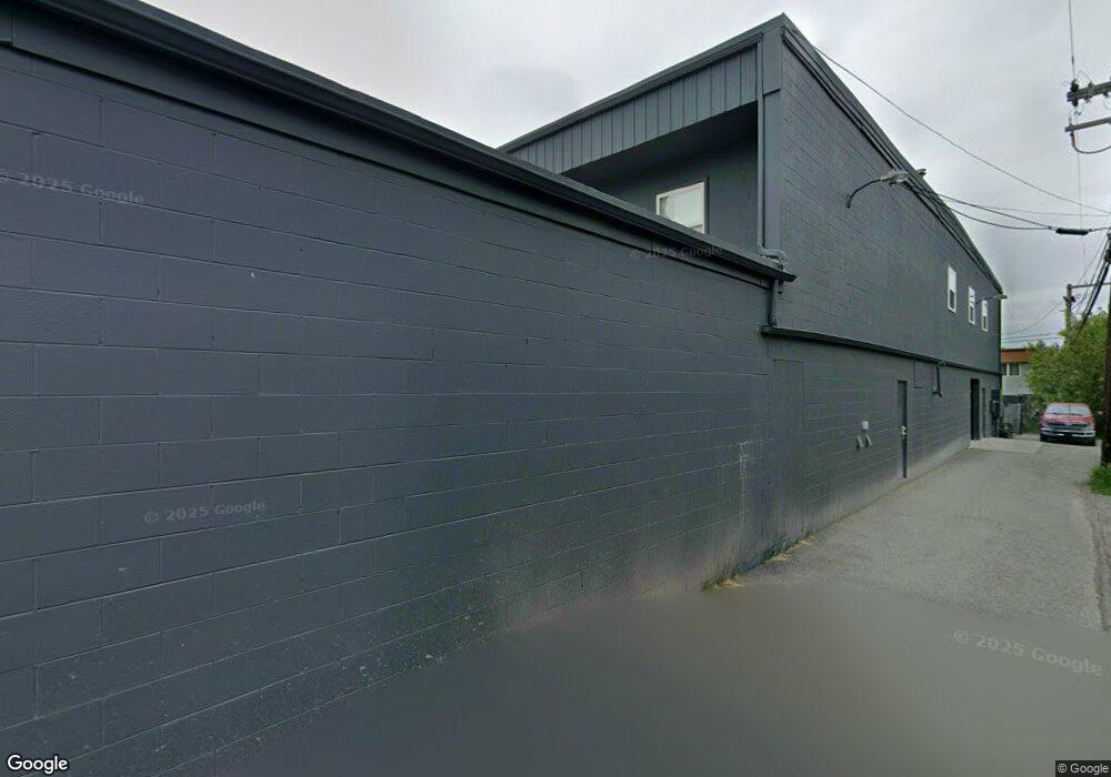
405 E Fireweed Ln Anchorage, AK 99503
North Star Neighborhood
Studio
--
Bath
10,000
Sq Ft
13,068
Sq Ft Lot
About This Home
This home is located at 405 E Fireweed Ln, Anchorage, AK 99503. 405 E Fireweed Ln is a home located in Anchorage Municipality with nearby schools including North Star Elementary School, Central Middle School of Science, and West High School.
Ownership History
Date
Name
Owned For
Owner Type
Purchase Details
Closed on
Aug 4, 2005
Sold by
H&H Equipment Inc
Bought by
Anura Llc
Purchase Details
Closed on
May 5, 2004
Sold by
Crosby Robert L and Person Crosby Lou Anne
Bought by
H & H Equipment Inc
Home Financials for this Owner
Home Financials are based on the most recent Mortgage that was taken out on this home.
Original Mortgage
$731,250
Interest Rate
5.38%
Mortgage Type
Commercial
Create a Home Valuation Report for This Property
The Home Valuation Report is an in-depth analysis detailing your home's value as well as a comparison with similar homes in the area
Home Values in the Area
Average Home Value in this Area
Purchase History
| Date | Buyer | Sale Price | Title Company |
|---|---|---|---|
| Anura Llc | -- | -- | |
| H & H Equipment Inc | -- | -- |
Source: Public Records
Mortgage History
| Date | Status | Borrower | Loan Amount |
|---|---|---|---|
| Previous Owner | H & H Equipment Inc | $731,250 |
Source: Public Records
Tax History
| Year | Tax Paid | Tax Assessment Tax Assessment Total Assessment is a certain percentage of the fair market value that is determined by local assessors to be the total taxable value of land and additions on the property. | Land | Improvement |
|---|---|---|---|---|
| 2025 | $13,433 | $851,700 | $270,900 | $580,800 |
| 2024 | $13,433 | $832,000 | $270,900 | $561,100 |
| 2023 | $13,820 | $811,500 | $260,400 | $551,100 |
| 2022 | $13,354 | $793,000 | $247,800 | $545,200 |
| 2021 | $14,070 | $780,800 | $242,800 | $538,000 |
| 2020 | $13,962 | $821,300 | $238,200 | $583,100 |
| 2019 | $13,410 | $819,700 | $233,400 | $586,300 |
| 2018 | $13,343 | $813,600 | $233,400 | $580,200 |
| 2017 | $13,482 | $860,900 | $233,400 | $627,500 |
| 2016 | $12,207 | $854,500 | $233,400 | $621,100 |
| 2015 | $12,207 | $847,800 | $233,400 | $614,400 |
| 2014 | $12,207 | $832,000 | $233,400 | $598,600 |
Source: Public Records
Map
Nearby Homes
- 400 E 24th Ave Unit 4
- 2225 Eagle St
- 2213 Eagle St
- 2400 Barrow St Unit 202
- 2205 Barrow St
- 2140 Dawson St
- 342 Eyak Dr
- 540 Eyak Dr
- 000 Dawson St
- 540 Vista Ct
- L12 B29D 15th & Denali St
- 100 W 15th Ave Unit A
- 3010 Dawson St
- 2930-2970 Cheechako St
- 2960-2970 Cheechako St
- 2930-2950 Cheechako St
- 3211 Montpelier Ct Unit 9H
- 1430 Bridgeway St Unit 7
- 1430 Bridgeway St Unit 9
- 525 E 14th Ave
- 405 E Fireweed Ln Unit 2
- 405 E Fireweed Ln Unit 202
- 405 E Fireweed Ln Unit 200
- 405 E Fireweed Ln Unit 204
- 405 E Fireweed Ln Unit 201
- 403 E Fireweed Ln
- 427 E Fireweed Ln Unit A
- 427 E Fireweed Ln
- 401 E Fireweed Ln Unit 102/103
- 401 E Fireweed Ln Unit 203
- 401 E Fireweed Ln Unit 201, 202
- 401 E Fireweed Ln Unit 202
- 401 E Fireweed Ln Unit 201
- 401 E Fireweed Ln Unit 100
- 401 E Fireweed Ln Unit 103
- 401 E Fireweed Ln
- 401 E Fireweed Ln Unit 200
- 439 E Fireweed Ln
- 434 E 24th Ave
- 442 E 24th Ave
Your Personal Tour Guide
Ask me questions while you tour the home.