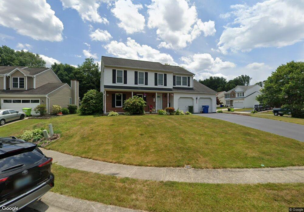
405 Gresham Ct Bel Air, MD 21014
Estimated Value: $483,000 - $518,000
Studio
3
Baths
2,132
Sq Ft
$236/Sq Ft
Est. Value
About This Home
This home is located at 405 Gresham Ct, Bel Air, MD 21014 and is currently estimated at $502,669, approximately $235 per square foot. 405 Gresham Ct is a home located in Harford County with nearby schools including Red Pump Elementary School, Bel Air Middle School, and Bel Air High School.
Ownership History
Date
Name
Owned For
Owner Type
Purchase Details
Closed on
Jan 18, 2001
Sold by
Heafner Tire Group
Bought by
Snyder Diane Lorraine
Current Estimated Value
Purchase Details
Closed on
Sep 6, 2000
Sold by
Kirkpatrick George Robert
Bought by
Heafner Tire Group
Purchase Details
Closed on
May 25, 1999
Sold by
Richard William George
Bought by
Kirkpatrick George Robert and Kirkpatrick Susan H
Create a Home Valuation Report for This Property
The Home Valuation Report is an in-depth analysis detailing your home's value as well as a comparison with similar homes in the area
Home Values in the Area
Average Home Value in this Area
Purchase History
| Date | Buyer | Sale Price | Title Company |
|---|---|---|---|
| Snyder Diane Lorraine | $184,000 | -- | |
| Heafner Tire Group | $186,000 | -- | |
| Kirkpatrick George Robert | $180,400 | -- |
Source: Public Records
Mortgage History
| Date | Status | Borrower | Loan Amount |
|---|---|---|---|
| Closed | Kirkpatrick George Robert | -- |
Source: Public Records
Tax History
| Year | Tax Paid | Tax Assessment Tax Assessment Total Assessment is a certain percentage of the fair market value that is determined by local assessors to be the total taxable value of land and additions on the property. | Land | Improvement |
|---|---|---|---|---|
| 2025 | $4,137 | $396,700 | $102,600 | $294,100 |
| 2024 | $4,137 | $379,600 | $0 | $0 |
| 2023 | $3,951 | $362,500 | $0 | $0 |
| 2022 | $3,765 | $345,400 | $102,600 | $242,800 |
| 2021 | $3,744 | $334,933 | $0 | $0 |
| 2020 | $3,744 | $324,467 | $0 | $0 |
| 2019 | $3,624 | $314,000 | $120,500 | $193,500 |
| 2018 | $3,565 | $311,733 | $0 | $0 |
| 2017 | $3,539 | $314,000 | $0 | $0 |
| 2016 | -- | $307,200 | $0 | $0 |
| 2015 | $3,613 | $307,200 | $0 | $0 |
| 2014 | $3,613 | $307,200 | $0 | $0 |
Source: Public Records
Map
Nearby Homes
- 1322 Locust Ave
- 335 Princeton Ln
- 806 Harness Way
- 922 Rock Spring Rd
- 1372 Scoflo Ct
- 747 Roland Ave
- 423 Red Pump Rd
- 402 Aggies Cir Unit B
- 402 Hall St
- 974 Chesney Ln
- 725 Heston Ln
- 730 Heston Ln
- 918 Chesney Ln
- 911 Chesney Ln
- 1521 Cedarwood Dr
- 109 Marshall Dr
- 1522 Cedarwood Dr
- 1605 Samantha Dr
- 943 Lynham Ct
- 400 Chadford Ct
- 403 Gresham Ct
- 404 Crofton Ct
- 1336 Crofton Dr
- 401 Gresham Ct
- 1338 Crofton Dr
- 402 Crofton Ct
- 1334 Crofton Dr
- 406 Gresham Ct
- 1340 Crofton Dr
- 400 Gresham Ct
- 404 Gresham Ct
- 1332 Crofton Dr
- 1342 Crofton Dr
- 402 Gresham Ct
- 400 Crofton Ct
- 1330 Crofton Dr
- 1344 Crofton Dr
- 1331 Locust Ave
- 1329 Locust Ave
- 1333 Locust Ave
Your Personal Tour Guide
Ask me questions while you tour the home.