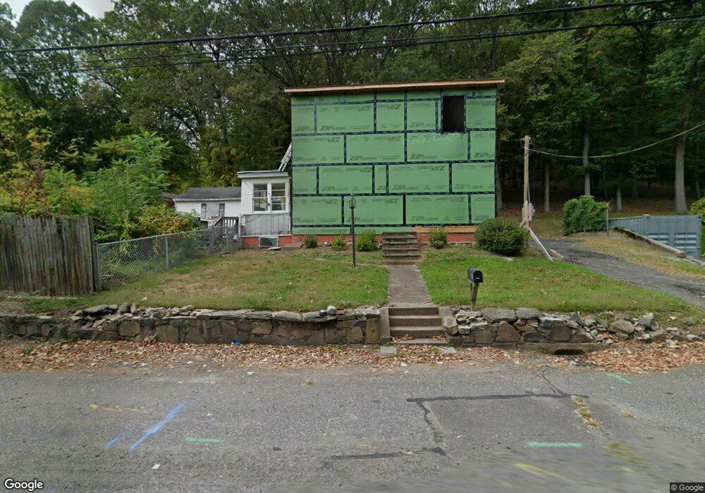
405 Ingleside St Holyoke, MA 01040
Estimated Value: $239,000 - $296,000
3
Beds
2
Baths
1,087
Sq Ft
$246/Sq Ft
Est. Value
About This Home
This home is located at 405 Ingleside St, Holyoke, MA 01040 and is currently estimated at $267,083, approximately $245 per square foot. 405 Ingleside St is a home located in Hampden County with nearby schools including Maurice A. Donahue Elementary School, Holyoke High School, and Holyoke Community Charter School.
Ownership History
Date
Name
Owned For
Owner Type
Purchase Details
Closed on
May 16, 2019
Sold by
Strobel Mark R and Midfirst Bank
Bought by
Tim Real Estate Llc
Current Estimated Value
Purchase Details
Closed on
Dec 14, 2000
Sold by
Laprade Michael E and Laprade Cheryl R
Bought by
Strobel Mark R
Home Financials for this Owner
Home Financials are based on the most recent Mortgage that was taken out on this home.
Original Mortgage
$78,551
Interest Rate
7.7%
Mortgage Type
Purchase Money Mortgage
Purchase Details
Closed on
Dec 31, 1998
Sold by
Jodoin Donald and Jodoin Joan
Bought by
Laprade Michael E and Laprade Cherylr
Home Financials for this Owner
Home Financials are based on the most recent Mortgage that was taken out on this home.
Original Mortgage
$72,350
Interest Rate
6.84%
Mortgage Type
Purchase Money Mortgage
Create a Home Valuation Report for This Property
The Home Valuation Report is an in-depth analysis detailing your home's value as well as a comparison with similar homes in the area
Home Values in the Area
Average Home Value in this Area
Purchase History
| Date | Buyer | Sale Price | Title Company |
|---|---|---|---|
| Tim Real Estate Llc | $50,000 | -- | |
| Strobel Mark R | $79,000 | -- | |
| Laprade Michael E | $73,000 | -- |
Source: Public Records
Mortgage History
| Date | Status | Borrower | Loan Amount |
|---|---|---|---|
| Previous Owner | Laprade Michael E | $78,551 | |
| Previous Owner | Laprade Michael E | $8,101 | |
| Previous Owner | Laprade Michael E | $72,350 |
Source: Public Records
Tax History Compared to Growth
Tax History
| Year | Tax Paid | Tax Assessment Tax Assessment Total Assessment is a certain percentage of the fair market value that is determined by local assessors to be the total taxable value of land and additions on the property. | Land | Improvement |
|---|---|---|---|---|
| 2025 | $2,591 | $148,400 | $43,800 | $104,600 |
| 2024 | $2,367 | $124,900 | $41,500 | $83,400 |
| 2023 | $2,276 | $121,300 | $41,500 | $79,800 |
| 2022 | $2,190 | $113,700 | $41,500 | $72,200 |
| 2021 | $2,046 | $106,200 | $37,800 | $68,400 |
| 2020 | $1,950 | $102,200 | $37,800 | $64,400 |
| 2019 | $2,224 | $115,300 | $33,400 | $81,900 |
| 2018 | $3,204 | $111,100 | $33,400 | $77,700 |
| 2017 | $2,130 | $111,100 | $33,400 | $77,700 |
| 2016 | $2,096 | $109,600 | $33,400 | $76,200 |
| 2015 | $2,087 | $109,600 | $33,400 | $76,200 |
Source: Public Records
Map
Nearby Homes
- 21 Meeting House Rd
- 24 Daley St
- 89-111 Whitney Ave
- 53 Farnum Dr Unit 53
- 33 Bonner St
- 69 Daley St
- 86 Lynch Dr
- lot b Homestead Ave
- 210 Clarendon Ave
- 219 Clarendon Ave
- 12 Gordon Dr
- 86 Beaumont Ave
- 158 Narragansett Blvd
- 47 Dorrance St
- 54 Dayton St
- 175 Pendexter Ave
- 51 Beaumont Ave
- 81 Poplar St
- 87 Blanchwood Ave
- 71 Florence St
- 415 Ingleside St
- 1125 Main St
- 401 Ingleside St
- 1121 Main St
- 1117 Main St
- 385 Ingleside St
- 0 Main St
- 1115 Main St Unit R1
- 1115 Main St
- 1115 Main St Unit 2L
- 129 Lower Westfield Rd
- 1112 Main St
- 368 Ingleside St Unit 370
- 1109 Main St
- 1107 Main St
- 22 Lower Westfield Rd
- 29 Lower Westfield Rd
- 23 Jones Ferry Rd
- 366 Ingleside St
- 1106 Main St