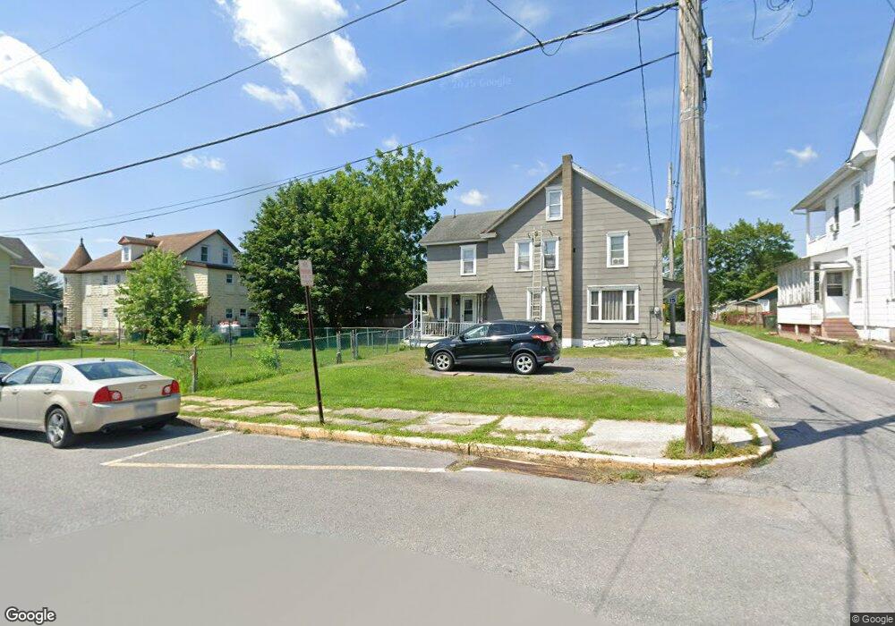
405 Mahoning Alley Lehighton, PA 18235
Estimated Value: $141,000 - $162,000
2
Beds
1
Bath
1,148
Sq Ft
$129/Sq Ft
Est. Value
About This Home
This home is located at 405 Mahoning Alley, Lehighton, PA 18235 and is currently estimated at $148,034, approximately $128 per square foot. 405 Mahoning Alley is a home located in Carbon County with nearby schools including Lehighton Area High School, Sts. Peter & Paul School, and Valley Ridge Academy.
Ownership History
Date
Name
Owned For
Owner Type
Purchase Details
Closed on
Jun 8, 2016
Sold by
Portz Bruce H
Bought by
Gallagher Edward James
Current Estimated Value
Purchase Details
Closed on
Feb 20, 2007
Sold by
Portz Bruce H and Portz Mildred A
Bought by
Portz Bruce H
Home Financials for this Owner
Home Financials are based on the most recent Mortgage that was taken out on this home.
Original Mortgage
$40,000
Interest Rate
6.3%
Mortgage Type
Purchase Money Mortgage
Create a Home Valuation Report for This Property
The Home Valuation Report is an in-depth analysis detailing your home's value as well as a comparison with similar homes in the area
Home Values in the Area
Average Home Value in this Area
Purchase History
| Date | Buyer | Sale Price | Title Company |
|---|---|---|---|
| Gallagher Edward James | $28,000 | None Available | |
| Portz Bruce H | $40,000 | None Available |
Source: Public Records
Mortgage History
| Date | Status | Borrower | Loan Amount |
|---|---|---|---|
| Previous Owner | Portz Bruce H | $40,000 |
Source: Public Records
Tax History Compared to Growth
Tax History
| Year | Tax Paid | Tax Assessment Tax Assessment Total Assessment is a certain percentage of the fair market value that is determined by local assessors to be the total taxable value of land and additions on the property. | Land | Improvement |
|---|---|---|---|---|
| 2025 | $1,803 | $22,600 | $4,350 | $18,250 |
| 2024 | $1,712 | $22,600 | $4,350 | $18,250 |
| 2023 | $1,695 | $22,600 | $4,350 | $18,250 |
| 2022 | $1,695 | $22,600 | $4,350 | $18,250 |
| 2021 | $1,636 | $22,600 | $4,350 | $18,250 |
| 2020 | $1,596 | $22,600 | $4,350 | $18,250 |
| 2019 | $1,528 | $22,600 | $4,350 | $18,250 |
| 2018 | $1,495 | $22,600 | $4,350 | $18,250 |
| 2017 | $1,483 | $22,600 | $4,350 | $18,250 |
| 2016 | -- | $22,600 | $4,350 | $18,250 |
| 2015 | -- | $22,600 | $4,350 | $18,250 |
| 2014 | -- | $22,600 | $4,350 | $18,250 |
Source: Public Records
Map
Nearby Homes
- 117 N 4th St
- 215 N 4th St
- 193 S 4th St
- 193 S 4th St Unit 191-193
- 196 S 3rd St
- 522 Iron St
- 231 Coal St
- 230 S 2nd St
- 639 Iron St
- 236 S 2nd St
- 344 Ochre St
- 142 Bankway St
- 470 N 8th St
- 230 Carbon St
- 12 2nd Ave
- 410 S 8th St
- 0 Emily Plan at Summit Point Unit PACC2005480
- 0 Copper Beech Plan at Summit Ridge Unit PACC2005478
- 0 Black Cherry Plan at Summit Ridge Unit PACC2005474
- 0 Ridge
- 407 Mahoning Alley
- 402 Mahoning St
- 120 N 4th St
- 408 Mahoning St
- 410 Mahoning St
- 122 N 4th St
- 404 Mahoning St Unit 2
- 404 Mahoning St
- 412 Mahoning St
- 124 N 4th St
- 406 Mahoning St Unit 2
- 406 Mahoning St
- 414 Mahoning St
- 126 N 4th St
- 342 Mahoning St
- 121 N 4th St Unit 123
- 416 Mahoning St
- 117 N 4th St
- 119 N 4th St
- 336 Mahoning St