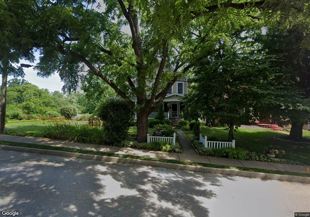
405 Newport Ave Saint Louis, MO 63119
Estimated Value: $477,000 - $665,000
3
Beds
2
Baths
1,975
Sq Ft
$286/Sq Ft
Est. Value
About This Home
This home is located at 405 Newport Ave, Saint Louis, MO 63119 and is currently estimated at $564,700, approximately $285 per square foot. 405 Newport Ave is a home located in St. Louis County with nearby schools including Avery Elementary School, Hixson Middle School, and Webster Groves High School.
Ownership History
Date
Name
Owned For
Owner Type
Purchase Details
Closed on
May 4, 2020
Sold by
Meyers Bryan and Usher Julia
Bought by
Meyers Bryan and Usher Julia
Current Estimated Value
Home Financials for this Owner
Home Financials are based on the most recent Mortgage that was taken out on this home.
Original Mortgage
$300,000
Interest Rate
3.3%
Mortgage Type
New Conventional
Purchase Details
Closed on
Sep 21, 2018
Sold by
Meyers Bryan and Usher Julia
Bought by
Meyers Bryan and Usher Julia
Create a Home Valuation Report for This Property
The Home Valuation Report is an in-depth analysis detailing your home's value as well as a comparison with similar homes in the area
Home Values in the Area
Average Home Value in this Area
Purchase History
| Date | Buyer | Sale Price | Title Company |
|---|---|---|---|
| Meyers Bryan | -- | Title Partners Agency Llc | |
| Meyers Bryan | -- | None Available |
Source: Public Records
Mortgage History
| Date | Status | Borrower | Loan Amount |
|---|---|---|---|
| Closed | Meyers Bryan | $300,000 |
Source: Public Records
Tax History Compared to Growth
Tax History
| Year | Tax Paid | Tax Assessment Tax Assessment Total Assessment is a certain percentage of the fair market value that is determined by local assessors to be the total taxable value of land and additions on the property. | Land | Improvement |
|---|---|---|---|---|
| 2025 | $5,626 | $85,650 | $51,300 | $34,350 |
| 2024 | $5,626 | $80,890 | $37,320 | $43,570 |
| 2023 | $5,626 | $80,890 | $37,320 | $43,570 |
| 2022 | $5,259 | $70,530 | $37,320 | $33,210 |
| 2021 | $5,241 | $70,530 | $37,320 | $33,210 |
| 2020 | $6,326 | $79,440 | $37,320 | $42,120 |
| 2019 | $6,280 | $79,440 | $37,320 | $42,120 |
| 2018 | $5,161 | $57,880 | $26,130 | $31,750 |
| 2017 | $5,126 | $57,880 | $26,130 | $31,750 |
| 2016 | $5,164 | $55,820 | $22,380 | $33,440 |
| 2015 | $5,189 | $55,820 | $22,380 | $33,440 |
| 2014 | $5,703 | $59,730 | $17,040 | $42,690 |
Source: Public Records
Map
Nearby Homes
- 441 Park Rd
- 112 Oakwood Ave
- 546 Holland Ave
- 610 Cornelia Ave
- 814 Holland Ave
- 619 N Bompart Ave
- 617 N Elm Ave
- 827 Cornell Ave
- 400 Marion Ave
- 716 Clark Ave
- 450 E Lockwood Ave Unit 303
- 544 Summit Ave
- 218 Euclid Ave
- 808 Greeley Ave
- 136 N Gore Ave
- 1013 Bell Ave
- 901 Ennis Ave
- 2911 Brazeau Ave
- 8908 W Pendleton Ave
- 2904 Collier Ave
- 409 Newport Ave
- 415 Newport Ave
- 516 Glen Rd
- 417 Newport Ave
- 421 Newport Ave
- 400 Fairview Ave
- 408 Newport Ave
- 428 Glen Rd
- 408 Fairview Ave
- 425 Newport Ave
- 412 Newport Ave
- 410 Fairview Ave
- 511 Glen Rd
- 515 Glen Rd
- 501 Glen Rd
- 420 Glen Rd
- 310 Fairview Ave
- 429 Newport Ave
- 412 Fairview Ave
- 414 Newport Ave