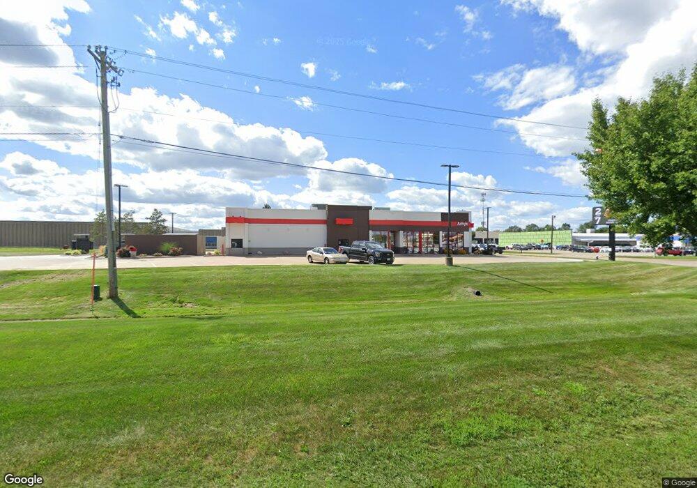
405 S Roosevelt Ave Burlington, IA 52601
--
Bed
--
Bath
3,730
Sq Ft
1.39
Acres
About This Home
This home is located at 405 S Roosevelt Ave, Burlington, IA 52601. 405 S Roosevelt Ave is a home located in Des Moines County with nearby schools including Burlington Community High School, Burlington Notre Dame Catholic Elementary School, and Burlington Notre Dame Junior/Senior High School.
Ownership History
Date
Name
Owned For
Owner Type
Purchase Details
Closed on
Sep 17, 2021
Sold by
Votaw James S
Bought by
Burlington Rentals Llc
Home Financials for this Owner
Home Financials are based on the most recent Mortgage that was taken out on this home.
Original Mortgage
$1,600,000
Outstanding Balance
$1,455,881
Interest Rate
2.8%
Mortgage Type
New Conventional
Purchase Details
Closed on
Dec 14, 2020
Sold by
Votaw Shirley B
Bought by
Votaw James S
Create a Home Valuation Report for This Property
The Home Valuation Report is an in-depth analysis detailing your home's value as well as a comparison with similar homes in the area
Home Values in the Area
Average Home Value in this Area
Purchase History
| Date | Buyer | Sale Price | Title Company |
|---|---|---|---|
| Burlington Rentals Llc | -- | None Listed On Document | |
| Votaw James S | -- | None Available |
Source: Public Records
Mortgage History
| Date | Status | Borrower | Loan Amount |
|---|---|---|---|
| Open | Burlington Rentals Llc | $1,600,000 |
Source: Public Records
Tax History Compared to Growth
Tax History
| Year | Tax Paid | Tax Assessment Tax Assessment Total Assessment is a certain percentage of the fair market value that is determined by local assessors to be the total taxable value of land and additions on the property. | Land | Improvement |
|---|---|---|---|---|
| 2025 | $52,944 | $1,614,400 | $664,400 | $950,000 |
| 2024 | $52,944 | $1,507,000 | $540,100 | $966,900 |
| 2023 | $33,642 | $1,333,700 | $478,000 | $855,700 |
| 2022 | $33,690 | $1,077,800 | $478,000 | $599,800 |
| 2021 | $33,690 | $1,077,800 | $478,000 | $599,800 |
| 2020 | $35,196 | $1,077,800 | $478,000 | $599,800 |
| 2019 | $35,850 | $1,077,800 | $478,000 | $599,800 |
| 2018 | $31,894 | $1,077,800 | $478,000 | $599,800 |
| 2017 | $28,722 | $0 | $0 | $0 |
| 2016 | $28,422 | $0 | $0 | $0 |
| 2015 | $28,422 | $0 | $0 | $0 |
| 2014 | $29,764 | $873,800 | $0 | $0 |
Source: Public Records
Map
Nearby Homes
- 14528 S Highway 61
- TBD S Highway 61
- 2732 Meadowbrook Dr
- 3407 Agency St
- 906 Westland Dr
- 913 Lawrence Dr
- 2912 Garden Ave
- 2600 Amelia St
- 123 Shields St
- 2512 Clearview Dr
- 930 Horizon St
- 112 W Division St
- 513 Hagemann Ave
- 1116 Willow Ave
- 2204 Williams St
- 108 Center Ct
- 420 S Plane St
- 310 Curran St
- 526 S Plane St
- 817 S Plane St
- 0000 S Highway 61
- 61 U S 61
- 419 S Roosevelt Ave
- 3225 Division St
- 130 S Roosevelt Ave
- 3220 Division St
- 123 S Roosevelt Ave
- 401 S Roosevelt Ave
- 3216 Division St
- 3211 Division St
- 120 S Roosevelt Ave
- 3210 Division St
- 550 S Roosevelt Ave
- 3208 Division St
- 3206 Division St
- 3204 Division St Unit A
- 3035 Flint Hills Dr
- 600 S Roosevelt Ave
- 110 S Roosevelt Ave
- 3200 Division St