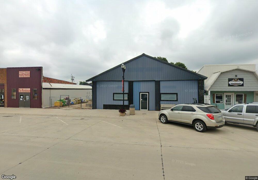
405 W Robbins St Graettinger, IA 51342
Estimated Value: $320,000 - $354,000
--
Bed
5
Baths
3,700
Sq Ft
$91/Sq Ft
Est. Value
About This Home
This home is located at 405 W Robbins St, Graettinger, IA 51342 and is currently estimated at $335,523, approximately $90 per square foot. 405 W Robbins St is a home located in Palo Alto County with nearby schools including Graettinger-Terril High School, Graettinger-Terril Elementary School, and Graettinger-Terril Middle School.
Ownership History
Date
Name
Owned For
Owner Type
Purchase Details
Closed on
Oct 19, 2021
Sold by
Antczak Brett D and Antczak Christie A
Bought by
Odt Holdings Llc Iowa
Current Estimated Value
Home Financials for this Owner
Home Financials are based on the most recent Mortgage that was taken out on this home.
Original Mortgage
$148,000
Outstanding Balance
$135,118
Interest Rate
2.88%
Mortgage Type
New Conventional
Estimated Equity
$200,405
Purchase Details
Closed on
Mar 20, 2018
Sold by
Rients Shirley R
Bought by
Antezak Brett D and Antczak Christie A
Create a Home Valuation Report for This Property
The Home Valuation Report is an in-depth analysis detailing your home's value as well as a comparison with similar homes in the area
Home Values in the Area
Average Home Value in this Area
Purchase History
| Date | Buyer | Sale Price | Title Company |
|---|---|---|---|
| Odt Holdings Llc Iowa | $185,000 | None Listed On Document | |
| Antezak Brett D | $179,500 | -- |
Source: Public Records
Mortgage History
| Date | Status | Borrower | Loan Amount |
|---|---|---|---|
| Open | Odt Holdings Llc Iowa | $148,000 |
Source: Public Records
Tax History Compared to Growth
Tax History
| Year | Tax Paid | Tax Assessment Tax Assessment Total Assessment is a certain percentage of the fair market value that is determined by local assessors to be the total taxable value of land and additions on the property. | Land | Improvement |
|---|---|---|---|---|
| 2025 | $4,384 | $320,930 | $16,470 | $304,460 |
| 2024 | $4,140 | $276,120 | $10,980 | $265,140 |
| 2023 | $4,234 | $276,120 | $10,980 | $265,140 |
| 2022 | $4,194 | $214,710 | $10,980 | $203,730 |
| 2021 | $3,874 | $214,710 | $10,980 | $203,730 |
| 2020 | $3,874 | $191,630 | $10,980 | $180,650 |
Source: Public Records
Map
Nearby Homes
- 205 N Lincoln Ave
- 601 W Robins Ave
- 0 N Cedar Ave
- 609 S Cedar Ave
- 2941 470th Ave
- 2261 410th Ave
- 208 N 3rd St
- 2560 360th Ave
- 2071 395th Ave
- Lot #51 Rockport
- Lot #50 Rockport
- Lot #46 Ford Rd
- Ford Rd Rockport Addition
- #47 Ford Rd
- 318 Ford Rd
- 408 N Superior St
- 34482 320th St
- 204 Sunset Cir
- 207 N Superior St
- 105 Harrison St
- 405 W Robins Ave
- 106 N Cameron Ave
- 403 W Robbins St
- 103 N Lincoln Ave
- 401 W Robbins St
- 501 W Robbins St
- 107 N Lincoln Ave
- 103 N Cameron Ave
- 102 S Cameron Ave
- 101 S Lincoln Ave
- 502 W Robbins St
- 105 N Cameron Ave
- 103 S Lincoln Ave
- 403 W Olive St
- 405 W Olive St
- 305 W Robbins St
- 505 W Robbins St
- 201 N Lincoln Ave
- 506 W Robbins St
- 106 N Lincoln Ave