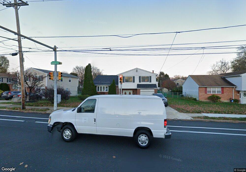
405 Welsh Rd Philadelphia, PA 19115
Bustleton NeighborhoodEstimated Value: $518,547 - $567,000
3
Beds
2
Baths
2,100
Sq Ft
$261/Sq Ft
Est. Value
About This Home
This home is located at 405 Welsh Rd, Philadelphia, PA 19115 and is currently estimated at $547,887, approximately $260 per square foot. 405 Welsh Rd is a home located in Philadelphia County with nearby schools including Greenberg Joseph School, George Washington High School, and St. Albert the Great School.
Ownership History
Date
Name
Owned For
Owner Type
Purchase Details
Closed on
Feb 25, 2000
Sold by
Seidman Leonard and Seidman Steven
Bought by
Ennis Derek and Ennis Sharon
Current Estimated Value
Home Financials for this Owner
Home Financials are based on the most recent Mortgage that was taken out on this home.
Original Mortgage
$156,650
Outstanding Balance
$52,785
Interest Rate
8.21%
Estimated Equity
$495,102
Create a Home Valuation Report for This Property
The Home Valuation Report is an in-depth analysis detailing your home's value as well as a comparison with similar homes in the area
Home Values in the Area
Average Home Value in this Area
Purchase History
| Date | Buyer | Sale Price | Title Company |
|---|---|---|---|
| Ennis Derek | $164,900 | Commonwealth Land Title Ins |
Source: Public Records
Mortgage History
| Date | Status | Borrower | Loan Amount |
|---|---|---|---|
| Open | Ennis Derek | $156,650 |
Source: Public Records
Tax History Compared to Growth
Tax History
| Year | Tax Paid | Tax Assessment Tax Assessment Total Assessment is a certain percentage of the fair market value that is determined by local assessors to be the total taxable value of land and additions on the property. | Land | Improvement |
|---|---|---|---|---|
| 2025 | $5,594 | $464,600 | $92,920 | $371,680 |
| 2024 | $5,594 | $464,600 | $92,920 | $371,680 |
| 2023 | $5,594 | $399,600 | $79,900 | $319,700 |
| 2022 | $3,683 | $354,600 | $79,900 | $274,700 |
| 2021 | $4,313 | $0 | $0 | $0 |
| 2020 | $4,313 | $0 | $0 | $0 |
| 2019 | $4,129 | $0 | $0 | $0 |
| 2018 | $4,037 | $0 | $0 | $0 |
| 2017 | $4,037 | $0 | $0 | $0 |
| 2016 | $3,617 | $0 | $0 | $0 |
| 2015 | $3,463 | $0 | $0 | $0 |
| 2014 | -- | $288,400 | $124,460 | $163,940 |
| 2012 | -- | $40,928 | $6,340 | $34,588 |
Source: Public Records
Map
Nearby Homes
- 0 Welsh Rd Unit 310 PAPH2537678
- 114 Almatt Place
- 9705 Portis Rd
- 1861 Lippincott Rd
- 9902 Player Dr
- 9810 Bridle Rd
- 9814 Bridle Rd
- 9231 Grace Ln
- 9812 Ferndale St
- 9933 Medway Rd
- 116 Delia Ln
- 9825 Verree Rd
- 9945 Jeanes St
- 637 Charette Rd
- 123 Pocasset Rd
- 9762 Redd Rambler Terrace
- 727 Sherrie Rd
- 9959 Ferndale St
- 2270 Dale Rd
- 21 Primrose Ln
- 403 Welsh Rd
- 407 Welsh Rd
- 432 Mark Place
- 401 Welsh Rd
- 430 Mark Place
- 434 Mark Place
- 409 Welsh Rd
- 406 Kismet Rd
- 90 Welsh Rd Unit 56G
- 90 Welsh Rd Unit 59G
- 90 Welsh Rd Unit 12B
- 90 Welsh Rd Unit 27D
- 90 Welsh Rd Unit 32D
- 90 Welsh Rd Unit 58G
- 90 Welsh Rd Unit 16B
- 90 Welsh Rd Unit 39E
- 90 Welsh Rd Unit 20C
- 90 Welsh Rd Unit 42F
- 90 Welsh Rd Unit 4A
- 90 Welsh Rd Unit 13B