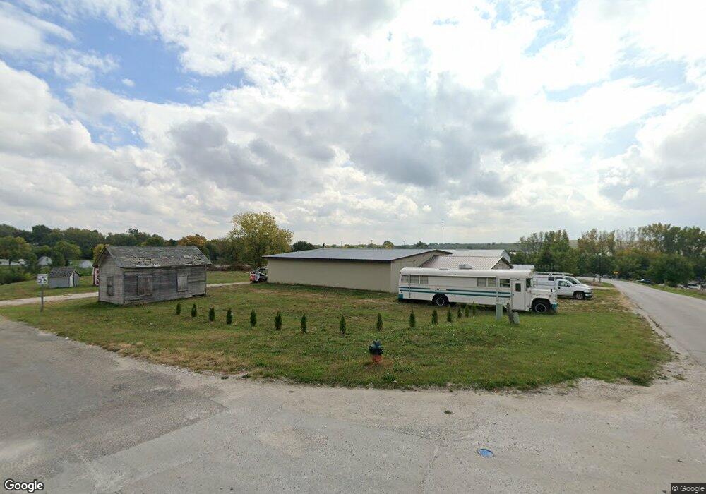
405 West St Coon Rapids, IA 50058
Estimated Value: $164,802
Studio
--
Bath
3,401
Sq Ft
$48/Sq Ft
Est. Value
About This Home
This home is located at 405 West St, Coon Rapids, IA 50058 and is currently priced at $164,802, approximately $48 per square foot. 405 West St is a home located in Carroll County.
Ownership History
Date
Name
Owned For
Owner Type
Purchase Details
Closed on
Oct 18, 2024
Sold by
Lee Timothy O and Lee Paige E
Bought by
Mr Lees Proper Noise Isnt Noise Pollution Llc
Current Estimated Value
Purchase Details
Closed on
Jan 22, 2022
Sold by
Alfa Valley Inc
Bought by
Cretsinger Stuart B
Purchase Details
Closed on
Oct 21, 2021
Sold by
Iowa Savings Bank
Bought by
Cresinger Stuart B
Create a Home Valuation Report for This Property
The Home Valuation Report is an in-depth analysis detailing your home's value as well as a comparison with similar homes in the area
Purchase History
| Date | Buyer | Sale Price | Title Company |
|---|---|---|---|
| Mr Lees Proper Noise Isnt Noise Pollution Llc | -- | None Listed On Document | |
| Cretsinger Stuart B | $105,000 | None Listed On Document | |
| Cresinger Stuart B | $55,000 | None Available |
Source: Public Records
Tax History
| Year | Tax Paid | Tax Assessment Tax Assessment Total Assessment is a certain percentage of the fair market value that is determined by local assessors to be the total taxable value of land and additions on the property. | Land | Improvement |
|---|---|---|---|---|
| 2025 | $2,938 | $421,090 | $27,100 | $393,990 |
| 2024 | $12 | $175,080 | $27,100 | $147,980 |
| 2023 | $1,286 | $78,740 | $27,100 | $51,640 |
| 2022 | $2,022 | $74,160 | $27,100 | $47,060 |
| 2021 | $2,022 | $74,160 | $27,100 | $47,060 |
| 2020 | $2,014 | $73,980 | $27,100 | $46,880 |
| 2019 | $2,026 | $73,980 | $27,100 | $46,880 |
| 2018 | $2,010 | $73,980 | $27,100 | $46,880 |
| 2017 | $2,010 | $75,461 | $29,539 | $45,922 |
| 2016 | $1,910 | $0 | $0 | $0 |
| 2015 | $1,910 | $44,260 | $0 | $0 |
| 2014 | $1,144 | $26,640 | $0 | $0 |
Source: Public Records
Map
Nearby Homes
- 101 W Hilltop Ct
- 503 West St
- 1017 Bridge St
- 0 W Hilltop Ct Unit 5423000
- 917 Bridge St
- 102 W Hilltop Ct
- 105 W Hilltop Ct
- 104 W Hilltop Ct
- 107 W Hilltop Ct
- 909 Bridge St
- 106 W Hilltop Ct
- 916 North St
- 110 School Ct
- 908 Bridge St
- 927 Elm St
- 905 Bridge St
- 900 Elm St
- 107 School St
- 903 Bridge St
- 104 School Ct
Your Personal Tour Guide
Ask me questions while you tour the home.