4050 Cook's Trail Ash Fork, AZ 86320
Estimated Value: $90,000 - $222,000
Studio
1
Bath
840
Sq Ft
$193/Sq Ft
Est. Value
About This Home
This home is located at 4050 Cook's Trail, Ash Fork, AZ 86320 and is currently estimated at $162,394, approximately $193 per square foot. 4050 Cook's Trail is a home located in Yavapai County with nearby schools including Ash Fork Elementary School, Ash Fork Middle School, and Ash Fork High School.
Ownership History
Date
Name
Owned For
Owner Type
Purchase Details
Closed on
May 7, 2024
Sold by
Federal National Mortgage Assn and Fannie Mae
Bought by
Gilbert John V
Current Estimated Value
Purchase Details
Closed on
May 6, 2024
Sold by
Federal National Mortgage Assn and Fannie Mae
Bought by
Gilbert John V
Purchase Details
Closed on
Nov 17, 2022
Sold by
Primary Residential Mortgage Inc
Bought by
Fannie Mae
Purchase Details
Closed on
Nov 11, 2022
Sold by
Primary Residential Mortgage Inc
Bought by
Fannie Mae
Purchase Details
Closed on
Aug 15, 2022
Sold by
Forster Ii Robert D
Bought by
Primary Residential Mortgage Inc
Purchase Details
Closed on
May 15, 2019
Sold by
Kilburn Wayne F and Kilburn Sue L
Bought by
Dunham Paul B
Home Financials for this Owner
Home Financials are based on the most recent Mortgage that was taken out on this home.
Original Mortgage
$100,000
Interest Rate
4%
Mortgage Type
New Conventional
Create a Home Valuation Report for This Property
The Home Valuation Report is an in-depth analysis detailing your home's value as well as a comparison with similar homes in the area
Purchase History
| Date | Buyer | Sale Price | Title Company |
|---|---|---|---|
| Gilbert John V | $85,000 | Lawyers Title | |
| Gilbert John V | $85,000 | Lawyers Title | |
| Fannie Mae | -- | Service Link | |
| Fannie Mae | -- | Service Link | |
| Primary Residential Mortgage Inc | $104,671 | Barrett Daffin Frappier Treder | |
| Dunham Paul B | $125,000 | Empire West Title Agency Llc |
Source: Public Records
Mortgage History
| Date | Status | Borrower | Loan Amount |
|---|---|---|---|
| Previous Owner | Dunham Paul B | $100,000 |
Source: Public Records
Tax History
| Year | Tax Paid | Tax Assessment Tax Assessment Total Assessment is a certain percentage of the fair market value that is determined by local assessors to be the total taxable value of land and additions on the property. | Land | Improvement |
|---|---|---|---|---|
| 2026 | $474 | $13,658 | -- | -- |
| 2024 | $513 | $12,851 | -- | -- |
| 2023 | $513 | $10,314 | $2,159 | $8,155 |
| 2022 | $498 | $8,712 | $1,552 | $7,160 |
| 2021 | $500 | $8,084 | $1,301 | $6,783 |
| 2020 | $485 | $0 | $0 | $0 |
| 2019 | $508 | $0 | $0 | $0 |
| 2018 | $484 | $0 | $0 | $0 |
| 2017 | $466 | $0 | $0 | $0 |
| 2016 | $411 | $0 | $0 | $0 |
| 2015 | -- | $0 | $0 | $0 |
| 2014 | -- | $0 | $0 | $0 |
Source: Public Records
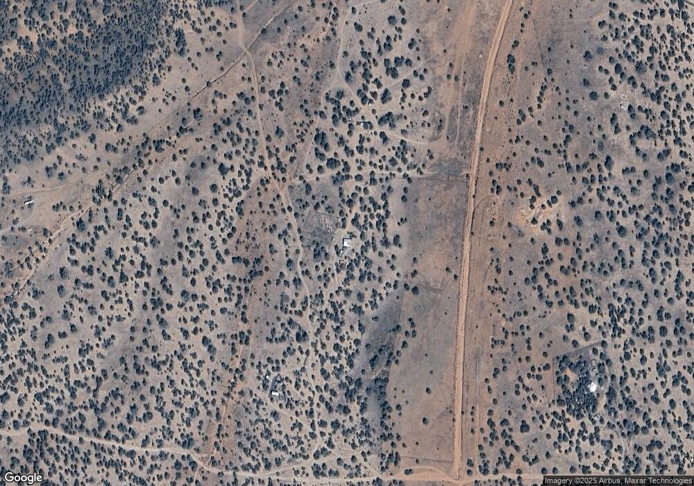
Map
Nearby Homes
- 182 NE Cooks Trail
- 137 Cattle Dr
- 137 Cattle Dr Unit 28
- 44200 Cattle Dr
- 47 N Humble Ln
- 251 Se4 Juniperwood Ranch
- 18a W Warren Run Rd
- 18b W Warren Run Rd
- 44044 N Haywire Rd
- 42650 N Wayne Rd
- Lot 50 Scorpion
- Lot 13 Ranch and Cattle
- 223 N Picacho Butte Dr
- 00 N Picacho Butte Dr
- 0 Ranch Rd 53 79 Acres Unit 259623
- 9b Ranch Rd
- 0000 W Conwayden Rd
- 88-A Rose Ln
- 214d Juniper Woods
- 214 Juniper Woods
- 4050 Cooks Trail
- 28 Duncan Dr
- 4075 W Moonglow Dr
- Lot 201 Juniperwood Ranch
- 21b Juniper Wood Ranch
- 4075 W Cooks Trail
- 206a Brava Ln
- 13b Cook's Trail
- 3825 Cook's Trail
- 13 Juniperwood Ranch
- 13 Cattle Dr
- 13 Cattle Dr Unit 13
- 177 Juniperwood Ranch
- 193 Lone Pine
- 179 Lone Pine
- 192 Lone Pine
- 202 Lone Pine
- 212 Lone Pine
- 0 Cooks Trail Unit 1026045
- 179d SE Off of Cooks Trail
Your Personal Tour Guide
Ask me questions while you tour the home.