Estimated Value: $289,491 - $322,000
--
Bed
--
Bath
1,520
Sq Ft
$205/Sq Ft
Est. Value
About This Home
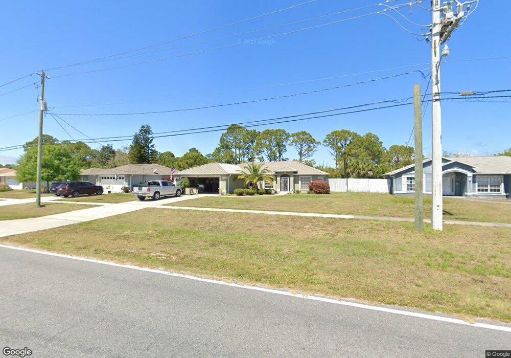
This home is located at 4050 Curtis Blvd, Cocoa, FL 32927 and is currently estimated at $311,123, approximately $204 per square foot. 4050 Curtis Blvd is a home located in Brevard County with nearby schools including Atlantis Elementary School, Space Coast Junior/Senior High School, and East Atlantic Prep of Brevard County.
Ownership History
Date
Name
Owned For
Owner Type
Purchase Details
Closed on
Jan 6, 2011
Sold by
Lobb Ronald E and Lobb Karen L
Bought by
Lobb Ronald E and Lobb Karen L
Current Estimated Value
Purchase Details
Closed on
May 21, 2004
Sold by
Pannullo Bart and Pannullo Julie
Bought by
Lobb Ronald E and Lobb Karen L
Home Financials for this Owner
Home Financials are based on the most recent Mortgage that was taken out on this home.
Original Mortgage
$110,800
Interest Rate
3.87%
Purchase Details
Closed on
Sep 27, 2002
Sold by
Belmont Homes Inc
Bought by
Panullo Bart and Panullo Julie
Home Financials for this Owner
Home Financials are based on the most recent Mortgage that was taken out on this home.
Original Mortgage
$87,900
Interest Rate
6.27%
Mortgage Type
Purchase Money Mortgage
Create a Home Valuation Report for This Property
The Home Valuation Report is an in-depth analysis detailing your home's value as well as a comparison with similar homes in the area
Home Values in the Area
Average Home Value in this Area
Purchase History
| Date | Buyer | Sale Price | Title Company |
|---|---|---|---|
| Lobb Ronald E | -- | Attorney | |
| Lobb Ronald E | $138,500 | Security First Title Partner | |
| Panullo Bart | $112,900 | -- |
Source: Public Records
Mortgage History
| Date | Status | Borrower | Loan Amount |
|---|---|---|---|
| Previous Owner | Lobb Ronald E | $110,800 | |
| Previous Owner | Panullo Bart | $87,900 |
Source: Public Records
Tax History Compared to Growth
Tax History
| Year | Tax Paid | Tax Assessment Tax Assessment Total Assessment is a certain percentage of the fair market value that is determined by local assessors to be the total taxable value of land and additions on the property. | Land | Improvement |
|---|---|---|---|---|
| 2025 | $1,357 | $98,220 | -- | -- |
| 2024 | $1,320 | $95,460 | -- | -- |
| 2023 | $1,320 | $92,680 | $0 | $0 |
| 2022 | $1,229 | $89,990 | $0 | $0 |
| 2021 | $1,222 | $87,370 | $0 | $0 |
| 2020 | $1,158 | $86,170 | $0 | $0 |
| 2019 | $1,093 | $84,240 | $0 | $0 |
| 2018 | $1,084 | $82,670 | $0 | $0 |
| 2017 | $1,073 | $80,970 | $0 | $0 |
| 2016 | $1,071 | $79,310 | $18,000 | $61,310 |
| 2015 | $1,080 | $78,760 | $15,000 | $63,760 |
| 2014 | $1,079 | $78,140 | $11,000 | $67,140 |
Source: Public Records
Map
Nearby Homes
- 7070 Bismarck Rd
- 3970 Curtis Blvd
- 7155 Ackerman Ave
- 7081 Bayfront Rd
- 4200 Lee Hall Place
- 7065 Bright Ave
- 7020 Ackerman Ave
- 0 Kanawha St
- 4390 Everglades St
- 846 W Virginia St
- 6839 Ackerman Ave
- 7160 Carlowe Ave
- 00 Kings Hwy
- 000 Arabella Ln
- 208 Capron Rd
- 219 Fecco St
- 961 Kaufman St
- 973 Poinsetta St
- 520 Arabella Ln
- 977 Poinsetta St
- 4030 Curtis Blvd
- 4070 Curtis Blvd
- 4010 Curtis Blvd
- 4090 Curtis Blvd
- 7205 Juper Rd
- 4110 Curtis Blvd
- 3990 Curtis Blvd
- 7070 Bismark Rd
- 3990 Curtis*
- 7065 Bismark Rd
- 7065 Bismark Rd
- 4130 Curtis Blvd
- 7075 Glenhaven Ave
- 7060 Bismark Rd
- 7070 Song Dr
- 7059 Bismark Rd
- 7065 Glenhaven Ave
- 7199 Juper Rd
- 4150 Curtis Blvd
- 7060 Song Dr