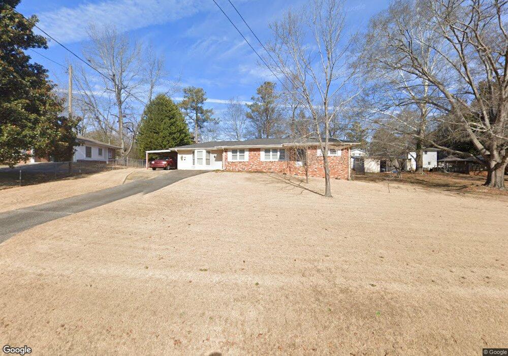
4050 Robert Allen Rd Douglasville, GA 30134
Estimated Value: $216,000 - $239,075
2
Beds
2
Baths
1,688
Sq Ft
$134/Sq Ft
Est. Value
About This Home
This home is located at 4050 Robert Allen Rd, Douglasville, GA 30134 and is currently estimated at $226,769, approximately $134 per square foot. 4050 Robert Allen Rd is a home located in Douglas County with nearby schools including Beulah Elementary School, Chestnut Log Middle School, and Lithia Springs Comprehensive High School.
Ownership History
Date
Name
Owned For
Owner Type
Purchase Details
Closed on
Jan 7, 2020
Sold by
Brown Maxine R
Bought by
Brown Matthew David
Current Estimated Value
Purchase Details
Closed on
Feb 28, 2007
Sold by
Sanders Hoyt E
Bought by
Brown Maxine R
Home Financials for this Owner
Home Financials are based on the most recent Mortgage that was taken out on this home.
Original Mortgage
$82,000
Interest Rate
6.16%
Mortgage Type
New Conventional
Create a Home Valuation Report for This Property
The Home Valuation Report is an in-depth analysis detailing your home's value as well as a comparison with similar homes in the area
Home Values in the Area
Average Home Value in this Area
Purchase History
| Date | Buyer | Sale Price | Title Company |
|---|---|---|---|
| Brown Matthew David | $96,300 | -- | |
| Brown Maxine R | $102,500 | -- |
Source: Public Records
Mortgage History
| Date | Status | Borrower | Loan Amount |
|---|---|---|---|
| Previous Owner | Brown Maxine R | $82,000 |
Source: Public Records
Tax History Compared to Growth
Tax History
| Year | Tax Paid | Tax Assessment Tax Assessment Total Assessment is a certain percentage of the fair market value that is determined by local assessors to be the total taxable value of land and additions on the property. | Land | Improvement |
|---|---|---|---|---|
| 2024 | $2,151 | $68,360 | $12,000 | $56,360 |
| 2023 | $2,151 | $68,360 | $12,000 | $56,360 |
| 2022 | $1,610 | $49,440 | $8,000 | $41,440 |
| 2021 | $1,256 | $39,320 | $8,000 | $31,320 |
| 2020 | $382 | $39,320 | $8,000 | $31,320 |
| 2019 | $310 | $38,520 | $8,000 | $30,520 |
| 2018 | $299 | $37,240 | $8,000 | $29,240 |
| 2017 | $278 | $33,840 | $8,000 | $25,840 |
| 2016 | $219 | $27,440 | $6,720 | $20,720 |
| 2015 | $247 | $26,880 | $6,720 | $20,160 |
| 2014 | $247 | $28,320 | $7,440 | $20,880 |
| 2013 | -- | $28,200 | $7,440 | $20,760 |
Source: Public Records
Map
Nearby Homes
- 4073 W Oak Ln
- 4116 Robert Allen Rd
- 4125 W Oak Ln
- 3924 Hershel Dr
- 1134 Wagon Trace
- 8009 Haven Springs
- 0 Scott Dr Unit 7532624
- 0 Scott Dr Unit 10468599
- 4039 Lakeland Hills Dr
- 1254 Foxboro Ct
- 3948 Regent St
- 1520 Oxford St
- 1550 Oxford St
- 4113 Maroney Mill Rd
- 4385 Midway Rd
- 4450 Wood Hollow Ct
- 771 N Burnt Hickory Rd
- 4311 Short St
- 930 Terrace Mill Dr
- 4229 Midway Dr
- 4060 Robert Allen Rd
- 1225 S Burnt Hickory Rd
- 1215 S Burnt Hickory Rd
- 4070 Robert Allen Rd
- 4049 Robert Allen Rd
- 4071 Newman Ellis Rd
- 1205 S Burnt Hickory Rd
- 1245 S Burnt Hickory Rd
- 4069 Robert Allen Rd
- 4075 Newman Ellis Rd
- 4084 Robert Allen Rd
- 0 Robert Allen Rd Unit 7214117
- 4091 Newman Ellis Rd
- 3975 Hershel Dr
- 4096 Robert Allen Rd
- 4056 W Oak Ln
- 1240 S Burnt Hickory Rd
- 4091 Robert Allen Rd
- 4068 W Oak Ln
- 0 W Oak Ln Unit 7467364