Estimated Value: $97,000 - $150,000
2
Beds
1
Bath
799
Sq Ft
$163/Sq Ft
Est. Value
About This Home
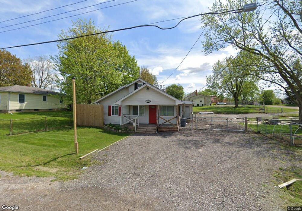
This home is located at 4051 Red Wing Dr Unit Bldg-Unit, Flint, MI 48532 and is currently estimated at $129,872, approximately $162 per square foot. 4051 Red Wing Dr Unit Bldg-Unit is a home located in Genesee County with nearby schools including Carman-Ainsworth High School, Genesee STEM Academy, and St. Paul Lutheran School.
Ownership History
Date
Name
Owned For
Owner Type
Purchase Details
Closed on
Aug 1, 2023
Sold by
Betts Cody
Bought by
Carroll Chelsea
Current Estimated Value
Home Financials for this Owner
Home Financials are based on the most recent Mortgage that was taken out on this home.
Original Mortgage
$129,200
Outstanding Balance
$125,918
Interest Rate
6.67%
Mortgage Type
New Conventional
Estimated Equity
$3,954
Purchase Details
Closed on
Jan 25, 2019
Sold by
Peters Jeffrey S and Peters Autumn L
Bought by
Betts Cody
Purchase Details
Closed on
Oct 15, 2010
Sold by
Peters Jeffrey S and Peters Autumn L
Bought by
Stram Craig
Purchase Details
Closed on
Dec 3, 2001
Sold by
Terry Charles and Terry Nancy A
Bought by
Peters Jeffrey S
Create a Home Valuation Report for This Property
The Home Valuation Report is an in-depth analysis detailing your home's value as well as a comparison with similar homes in the area
Home Values in the Area
Average Home Value in this Area
Purchase History
| Date | Buyer | Sale Price | Title Company |
|---|---|---|---|
| Carroll Chelsea | $136,000 | Mason Burgess Title | |
| Betts Cody | $17,563 | Michigan First Title Agency | |
| Stram Craig | -- | None Available | |
| Peters Jeffrey S | -- | None Available | |
| Peters Jeffrey S | $17,000 | Centennial Title & Abstract |
Source: Public Records
Mortgage History
| Date | Status | Borrower | Loan Amount |
|---|---|---|---|
| Open | Carroll Chelsea | $129,200 |
Source: Public Records
Tax History Compared to Growth
Tax History
| Year | Tax Paid | Tax Assessment Tax Assessment Total Assessment is a certain percentage of the fair market value that is determined by local assessors to be the total taxable value of land and additions on the property. | Land | Improvement |
|---|---|---|---|---|
| 2025 | $1,991 | $51,500 | $0 | $0 |
| 2024 | $1,008 | $45,000 | $0 | $0 |
| 2023 | $612 | $41,800 | $0 | $0 |
| 2022 | $631 | $30,700 | $0 | $0 |
| 2021 | $1,187 | $26,300 | $0 | $0 |
| 2020 | $550 | $24,800 | $0 | $0 |
| 2019 | $472 | $22,300 | $0 | $0 |
| 2018 | $1,540 | $22,500 | $0 | $0 |
| 2017 | $1,604 | $22,500 | $0 | $0 |
| 2016 | $1,410 | $22,300 | $0 | $0 |
| 2015 | $792 | $20,500 | $0 | $0 |
| 2014 | $470 | $19,700 | $0 | $0 |
| 2012 | -- | $23,200 | $23,200 | $0 |
Source: Public Records
Map
Nearby Homes
- 1540 Pound Dr
- 1260 Gilbert St
- 3493 Ridgecliffe Dr
- 18.41 Taft Rd
- 3320 Timberview St
- 1600 Houran St
- 1574 Houran St
- 3277 Whitney Ave
- 3288 Tall Oaks Ct
- 3522 Ridgecliffe Dr
- 1136 Gilbert St
- 3477 Ridgecliffe Dr
- 10 Acres T A Mansour Blvd
- 1112 Lask Dr
- 3631 Ridgecliffe Dr
- 0 Charter Dr Unit 50153638
- 3321 Hogarth Ave
- VL Clairmont St
- 1068 S Graham Rd
- 4474 Corunna Rd
- 4051 Red Wing Dr
- 1576 Pound Dr
- 1591 Lambden Rd
- 1586 Pound Dr
- 1584 Lambden Rd
- 4050 Red Wing Dr
- 1588 Lambden Rd
- 4040 Red Wing Dr
- 1597 Lambden Rd
- 4074 Red Wing Dr
- 1594 Lambden Rd
- 1581 Algonac Dr
- 1598 Pound Dr
- 1605 Lambden Rd
- 1575 Pound Dr
- 1585 Algonac Dr
- 1554 Pound Dr
- 4024 Red Wing Dr
- 1585 Pound Dr
- 1550 Lambden Rd