40511 Mckenzie Hwy Springfield, OR 97478
Estimated Value: $627,000 - $823,000
4
Beds
3
Baths
2,964
Sq Ft
$253/Sq Ft
Est. Value
About This Home
This home is located at 40511 Mckenzie Hwy, Springfield, OR 97478 and is currently estimated at $749,140, approximately $252 per square foot. 40511 Mckenzie Hwy is a home located in Lane County with nearby schools including Walterville Elementary School, Briggs Middle School, and Thurston High School.
Ownership History
Date
Name
Owned For
Owner Type
Purchase Details
Closed on
Nov 16, 2021
Sold by
Fryer Lloyd W and Fryer Ronda L
Bought by
Fryer Lloyd W and Fryer Ronda L
Current Estimated Value
Purchase Details
Closed on
Aug 1, 2007
Sold by
Degelmann Lisa D
Bought by
Fryer Lloyd W and Fryer Ronda L
Home Financials for this Owner
Home Financials are based on the most recent Mortgage that was taken out on this home.
Original Mortgage
$332,800
Outstanding Balance
$210,712
Interest Rate
6.66%
Mortgage Type
Purchase Money Mortgage
Estimated Equity
$538,428
Create a Home Valuation Report for This Property
The Home Valuation Report is an in-depth analysis detailing your home's value as well as a comparison with similar homes in the area
Home Values in the Area
Average Home Value in this Area
Purchase History
| Date | Buyer | Sale Price | Title Company |
|---|---|---|---|
| Fryer Lloyd W | -- | None Available | |
| Fryer Lloyd W | $416,000 | First American Title |
Source: Public Records
Mortgage History
| Date | Status | Borrower | Loan Amount |
|---|---|---|---|
| Open | Fryer Lloyd W | $332,800 |
Source: Public Records
Tax History Compared to Growth
Tax History
| Year | Tax Paid | Tax Assessment Tax Assessment Total Assessment is a certain percentage of the fair market value that is determined by local assessors to be the total taxable value of land and additions on the property. | Land | Improvement |
|---|---|---|---|---|
| 2024 | $3,623 | $325,488 | -- | -- |
| 2023 | $3,623 | $316,008 | $0 | $0 |
| 2022 | $3,456 | $306,804 | $0 | $0 |
| 2021 | $3,376 | $297,868 | $0 | $0 |
| 2020 | $3,273 | $289,193 | $0 | $0 |
| 2019 | $3,105 | $280,770 | $0 | $0 |
| 2018 | $3,004 | $264,653 | $0 | $0 |
| 2017 | $2,895 | $264,653 | $0 | $0 |
| 2016 | $2,820 | $256,945 | $0 | $0 |
| 2015 | $2,748 | $249,461 | $0 | $0 |
| 2014 | $2,664 | $242,195 | $0 | $0 |
Source: Public Records
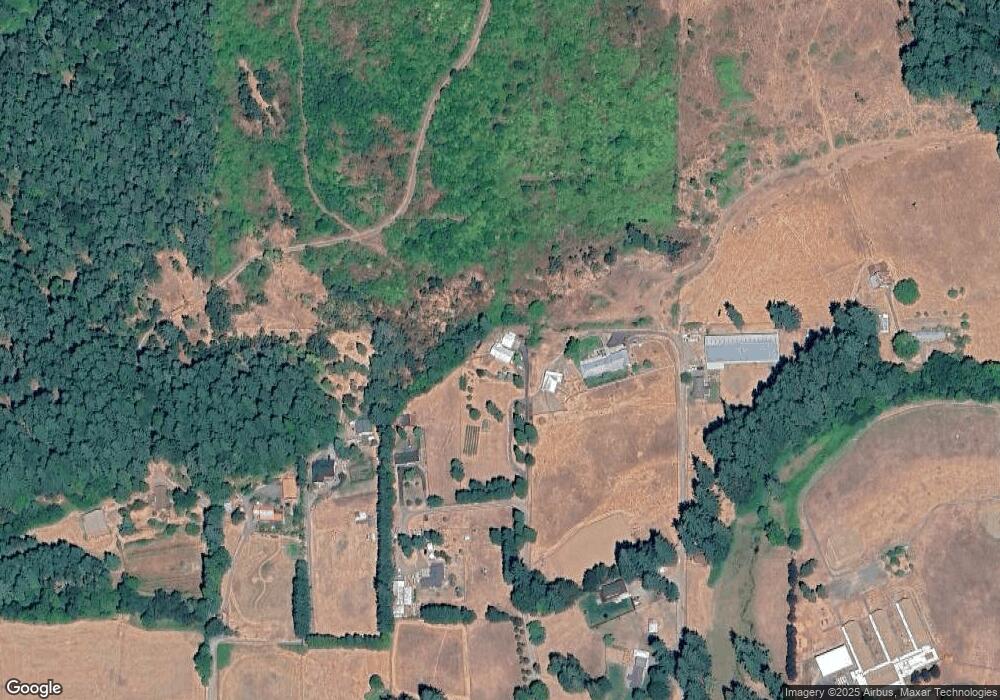
Map
Nearby Homes
- 40211 Deerhorn Rd
- 88154 Tiki Ln
- 0 Tonga Ln
- 40365 Tonga Ln
- 40153 Booth Kelly Rd
- 39431 Walterville Ln
- 41886 Deerhorn Rd
- 89011 Bridge St
- 39136 Easton Ln
- 41929 Deerhorn Rd
- 0000 Whitewater Rd Unit 2332
- 39125 Easton Ln
- 0 Bridge St
- 87835 Upland St
- 38383 Kickbusch Ln
- 38500 Mckenzie Hwy
- 87886 Cedar Flat Rd
- 0 Upper Camp Creek Rd Unit 734099093
- 0 Upper Camp Creek Rd Unit 473471921
- 38434 Mckenzie Hwy
- 88820 Potter Ln
- 40507 Mckenzie Hwy
- 88780 Heritage Ln
- 88750 Potter Ln
- 88770 Heritage Ln
- 88748 Potter Ln
- 88742 Heritage Ln
- 88720 Potter Ln
- 88848 Twin Firs Rd
- 88690 Potter Ln
- 40513 Mckenzie Hwy
- 88715 Potter Ln
- 88706 Heritage Ln
- 40471 Mckenzie Hwy
- 40447 Mckenzie Hwy
- 40558 Mckenzie Hwy
- 88710 Heritage Ln
- 40429 Mckenzie Hwy
- 40578 Mckenzie Hwy
- 40594 Mckenzie Hwy