4054 Angel Way Stevensville, MT 59870
Estimated Value: $497,000 - $627,000
3
Beds
2
Baths
2,032
Sq Ft
$285/Sq Ft
Est. Value
About This Home
This home is located at 4054 Angel Way, Stevensville, MT 59870 and is currently estimated at $579,162, approximately $285 per square foot. 4054 Angel Way is a home located in Ravalli County with nearby schools including Lone Rock Elementary School, Lone Rock Junior High School, and Stevensville High School.
Ownership History
Date
Name
Owned For
Owner Type
Purchase Details
Closed on
Mar 2, 2016
Sold by
Daryl Kaufmann and Daryl Kristi
Bought by
Stevens Joshua and Stevens Emma
Current Estimated Value
Home Financials for this Owner
Home Financials are based on the most recent Mortgage that was taken out on this home.
Original Mortgage
$184,110
Outstanding Balance
$145,722
Interest Rate
3.65%
Mortgage Type
FHA
Estimated Equity
$433,440
Purchase Details
Closed on
Jul 7, 2008
Bought by
Stevens Josh
Create a Home Valuation Report for This Property
The Home Valuation Report is an in-depth analysis detailing your home's value as well as a comparison with similar homes in the area
Home Values in the Area
Average Home Value in this Area
Purchase History
| Date | Buyer | Sale Price | Title Company |
|---|---|---|---|
| Stevens Joshua | -- | Stewart Title | |
| Stevens Josh | -- | -- |
Source: Public Records
Mortgage History
| Date | Status | Borrower | Loan Amount |
|---|---|---|---|
| Open | Stevens Joshua | $184,110 |
Source: Public Records
Tax History Compared to Growth
Tax History
| Year | Tax Paid | Tax Assessment Tax Assessment Total Assessment is a certain percentage of the fair market value that is determined by local assessors to be the total taxable value of land and additions on the property. | Land | Improvement |
|---|---|---|---|---|
| 2025 | $1,786 | $503,425 | $0 | $0 |
| 2024 | $2,607 | $441,500 | $0 | $0 |
| 2023 | $3,155 | $441,500 | $0 | $0 |
| 2022 | $2,240 | $334,000 | $0 | $0 |
| 2021 | $2,531 | $334,000 | $0 | $0 |
| 2020 | $2,316 | $292,800 | $0 | $0 |
| 2019 | $2,289 | $292,800 | $0 | $0 |
| 2018 | $1,833 | $238,800 | $0 | $0 |
| 2017 | $1,601 | $210,200 | $0 | $0 |
| 2016 | $1,469 | $196,300 | $0 | $0 |
| 2015 | $1,030 | $135,730 | $0 | $0 |
| 2014 | $1,136 | $89,517 | $0 | $0 |
Source: Public Records
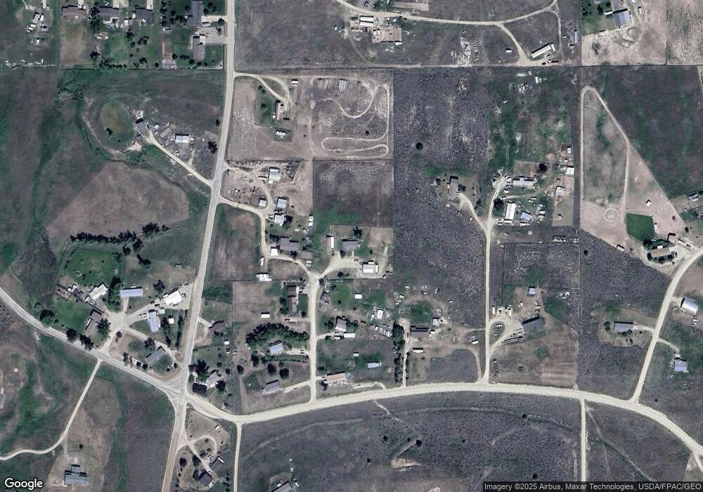
Map
Nearby Homes
- 724 Rising Sun Ln
- 982 Foxy Ln
- 902 Foxy Ln
- 4264 Odyssey Ct
- 522 Stevensville Airport Rd
- 4272 S Cougar Ln
- 751 Lazy Heart Dr
- 4283 Burro Ln
- 4301 Burro Ln
- 650 Hollibaugh Rd
- 475 Echo Ridge
- 1127 Park Ln
- NKN Cougar Ln
- 999 Websters Way
- 4358 Charlotte Way
- 1003 N Burnt Fork Rd
- Nhn Sunnyside Cemetery Rd
- 1019 Leese Ln
- 417 Kammie Ct
- 1073 N Burnt Fork Rd
- 808 Stevensville Airport Rd
- 4059 Sierra Way
- 4036 Angel Way
- 4041 Angel Way
- 4068 Illinois Bench Rd
- 4050 Illinois Bench Rd
- 855 Stevensville Airport Rd
- 837 Airport Rd
- 4044 Illinois Bench Rd
- 4040 N Bench Rd
- 4036 N Bench Rd
- 4044 N Bench Rd
- 4036 N Bench Rd
- 4041 N Bench Rd
- 4081 Illinois Bench Rd
- 762 Swan Ln
- 694 Stevensville Airport Rd
- 4037 N Bench Rd
- 4028 Illinois Bench Rd
- 4085 Illinois Bench Rd