40595 Colvin Rd Woodsfield, OH 43793
Estimated Value: $293,000 - $530,894
--
Bed
2
Baths
1,800
Sq Ft
$247/Sq Ft
Est. Value
About This Home
This home is located at 40595 Colvin Rd, Woodsfield, OH 43793 and is currently estimated at $444,631, approximately $247 per square foot. 40595 Colvin Rd is a home located in Monroe County with nearby schools including River Elementary School and River High School.
Ownership History
Date
Name
Owned For
Owner Type
Purchase Details
Closed on
Dec 15, 2022
Sold by
Winland William R
Bought by
Cline Tyler and Cline Hannah
Current Estimated Value
Home Financials for this Owner
Home Financials are based on the most recent Mortgage that was taken out on this home.
Original Mortgage
$425,000
Outstanding Balance
$413,373
Interest Rate
7.08%
Mortgage Type
New Conventional
Estimated Equity
$31,258
Purchase Details
Closed on
Mar 22, 2022
Sold by
Winland Shannon L
Bought by
Winland William R
Purchase Details
Closed on
Nov 9, 2004
Bought by
Winland William R and Winland Shannon L
Purchase Details
Closed on
Mar 4, 1993
Bought by
Winland William R and Winland Shannon L
Create a Home Valuation Report for This Property
The Home Valuation Report is an in-depth analysis detailing your home's value as well as a comparison with similar homes in the area
Home Values in the Area
Average Home Value in this Area
Purchase History
| Date | Buyer | Sale Price | Title Company |
|---|---|---|---|
| Cline Tyler | $425,000 | -- | |
| Winland William R | -- | None Listed On Document | |
| Winland William R | $129,900 | -- | |
| Winland William R | $40,000 | -- |
Source: Public Records
Mortgage History
| Date | Status | Borrower | Loan Amount |
|---|---|---|---|
| Closed | Dp Legacy Central Llc | $0 | |
| Open | Cline Tyler | $425,000 | |
| Previous Owner | Winland William R | $150,000 |
Source: Public Records
Tax History Compared to Growth
Tax History
| Year | Tax Paid | Tax Assessment Tax Assessment Total Assessment is a certain percentage of the fair market value that is determined by local assessors to be the total taxable value of land and additions on the property. | Land | Improvement |
|---|---|---|---|---|
| 2024 | $3,811 | $129,750 | $47,090 | $82,660 |
| 2023 | $3,811 | $129,750 | $47,090 | $82,660 |
| 2022 | $3,304 | $112,550 | $47,090 | $65,460 |
| 2021 | $3,125 | $105,260 | $39,420 | $65,840 |
| 2020 | $3,126 | $105,260 | $39,420 | $65,840 |
| 2019 | $3,126 | $105,280 | $39,440 | $65,840 |
| 2018 | $2,950 | $95,580 | $32,870 | $62,710 |
| 2017 | $2,961 | $95,580 | $32,870 | $62,710 |
| 2016 | $3,004 | $95,580 | $32,870 | $62,710 |
| 2015 | $2,174 | $78,420 | $20,440 | $57,980 |
| 2014 | $2,174 | $65,080 | $13,440 | $51,640 |
| 2013 | $2,246 | $62,380 | $12,220 | $50,160 |
Source: Public Records
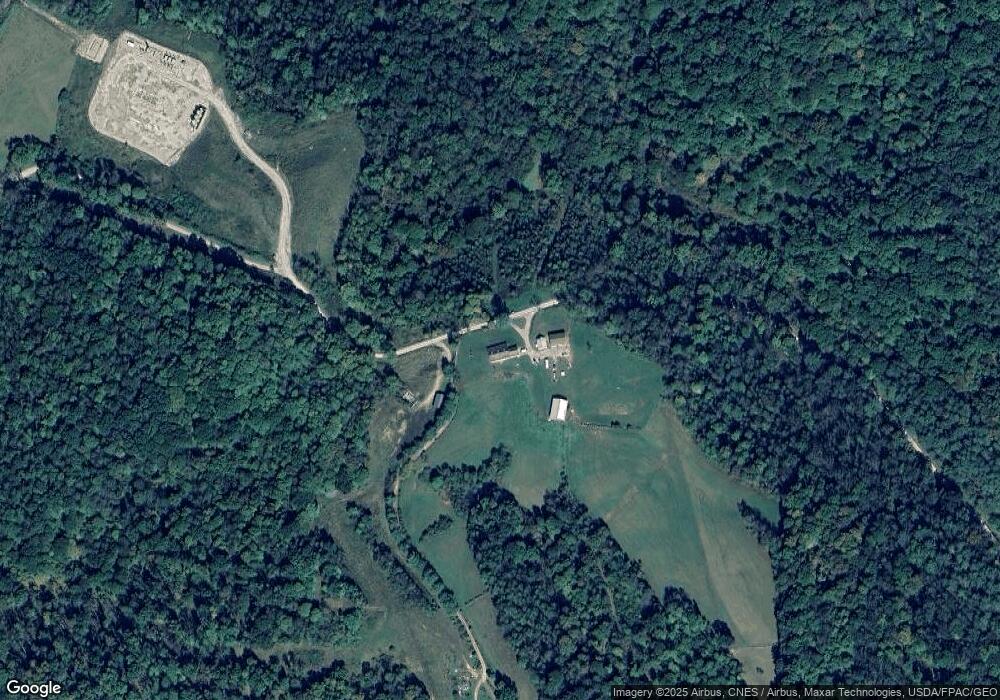
Map
Nearby Homes
- Township Road 460
- 0 Township Rd 460 Unit 23727141
- 0 Township Rd 460 Unit 5127980
- 0 Township Rd 460 Unit 5127975
- 42617 Ohio 800
- 0 W Union Rd
- 39709 State Route 255
- 36475 Kinney Ridge Rd
- 39110 State Route 26
- 45222 Benwood Rd
- 45247 W Union Rd
- 35515 State Route 800
- 34920 Township Road 570
- 42842 Trail Run Rd
- 44883 Bondi Ridge Rd
- 35045 Ohio 800
- 333 S Main St
- 407 High St
- 303 High St
- 302 High St
- 40583 Colvin Rd
- 40893 Roy Watson Rd
- 40766 Roy Watson Rd
- 40902 Roy Watson Rd
- 40677 Roy Watson Rd
- 0 Roy Watson Rd
- 40088 Colvin Rd
- 39152 Graham Rd
- 39445 Graham Rd
- 39190 Graham Rd
- 40421 Roy Watson Rd
- 40190 Plainview Rd
- 41142 Roy Watson Rd
- 39064 Graham Rd
- 39945 State Route 800
- 41300 Roy Watson Rd
- 40403 Roy Watson Rd
- 40250 Plainview Rd
- 39959 State Route 800
- 0 Graham Rd Unit 3944852