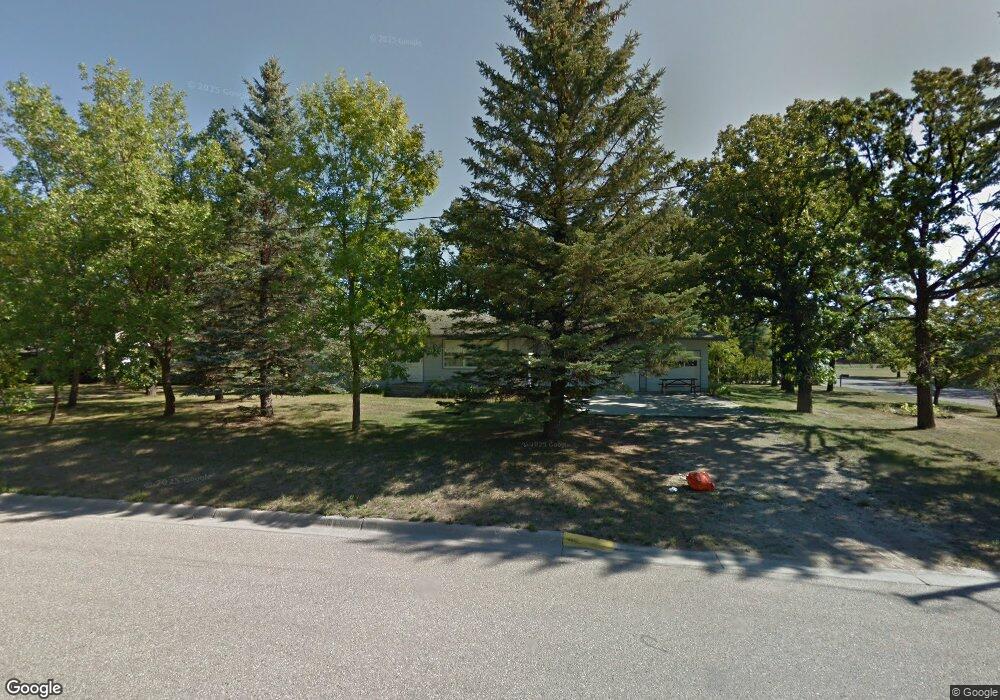
406 3rd St S Karlstad, MN 56732
Estimated Value: $94,000 - $153,450
2
Beds
2
Baths
2,248
Sq Ft
$59/Sq Ft
Est. Value
About This Home
This home is located at 406 3rd St S, Karlstad, MN 56732 and is currently estimated at $132,113, approximately $58 per square foot. 406 3rd St S is a home located in Kittson County with nearby schools including Karlstad Elementary School and Tri-County Secondary School.
Ownership History
Date
Name
Owned For
Owner Type
Purchase Details
Closed on
Aug 2, 2024
Sold by
Nelson Haylie
Bought by
Kraulik Nathan
Current Estimated Value
Home Financials for this Owner
Home Financials are based on the most recent Mortgage that was taken out on this home.
Original Mortgage
$122,735
Outstanding Balance
$121,346
Interest Rate
6.87%
Mortgage Type
New Conventional
Estimated Equity
$10,767
Purchase Details
Closed on
May 21, 2020
Sold by
Thompson Callahan Karen Karen
Bought by
Anderson Haylie Haylie
Home Financials for this Owner
Home Financials are based on the most recent Mortgage that was taken out on this home.
Original Mortgage
$64,500
Interest Rate
3.24%
Create a Home Valuation Report for This Property
The Home Valuation Report is an in-depth analysis detailing your home's value as well as a comparison with similar homes in the area
Purchase History
| Date | Buyer | Sale Price | Title Company |
|---|---|---|---|
| Kraulik Nathan | $125,000 | -- | |
| Anderson Haylie Haylie | $64,500 | -- |
Source: Public Records
Mortgage History
| Date | Status | Borrower | Loan Amount |
|---|---|---|---|
| Open | Kraulik Nathan | $122,735 | |
| Previous Owner | Anderson Haylie Haylie | $64,500 |
Source: Public Records
Tax History Compared to Growth
Tax History
| Year | Tax Paid | Tax Assessment Tax Assessment Total Assessment is a certain percentage of the fair market value that is determined by local assessors to be the total taxable value of land and additions on the property. | Land | Improvement |
|---|---|---|---|---|
| 2024 | $1,850 | $119,800 | $0 | $0 |
| 2023 | $20 | $98,100 | $0 | $0 |
| 2022 | $1,892 | $65,300 | $0 | $0 |
| 2021 | $1,966 | $82,100 | $0 | $0 |
| 2020 | $1,896 | $90,500 | $0 | $0 |
| 2019 | $1,888 | $86,500 | $6,600 | $79,900 |
| 2018 | $1,686 | $87,300 | $6,300 | $81,000 |
| 2017 | $1,700 | $87,300 | $6,300 | $81,000 |
| 2016 | $1,518 | $80,800 | $5,800 | $75,000 |
| 2015 | $910 | $0 | $0 | $0 |
| 2014 | $716 | $0 | $0 | $0 |
Source: Public Records
Map
Nearby Homes
- 601 1st St S
- 504 Main St
- 00000 County Road 6
- 102 Colony Dr S
- 39909 270th Ave NW
- 2499 405th Ave
- TBD 380th St NW
- Tbd 380th St NW
- 34311 150th Ave NW
- TBD Tbd
- 19749 190th Ave
- 921 Old Ridge Rd
- 207 2nd St SW
- TBD State Highway 11
- 536 Park Ave W
- 337 Main St N
- 561 Main St N
- 424 2nd St N
- 504 E Franklin Ave
- 525 2nd St N
- 406 3rd St
- 303 Washington Ave W
- 306 Lincoln Ave W
- 404 Lincoln Ave W
- 210 Lincoln Ave W
- 307 Lincoln Ave W
- 205 Washington Ave W
- 304 Washington Ave W
- 207 Lincoln Ave W
- 206 Lincoln Ave W
- 405 1st St S
- 501 1st St S
- 204 Lincoln Ave W
- 203 Lincoln Ave W
- 202 Lincoln Ave W
- 507 1st St S
- 408 Washington Ave W Unit 203
- 408 Washington Ave W
- 509 1st St S
- 201 Lincoln Ave W