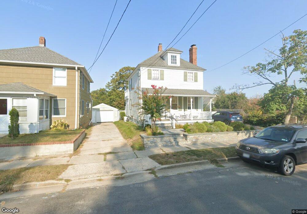
406 Atlantic Ave Greenport, NY 11944
North Fork NeighborhoodEstimated Value: $536,000 - $681,000
3
Beds
2
Baths
1,400
Sq Ft
$444/Sq Ft
Est. Value
About This Home
This home is located at 406 Atlantic Ave, Greenport, NY 11944 and is currently estimated at $621,375, approximately $443 per square foot. 406 Atlantic Ave is a home located in Suffolk County with nearby schools including Greenport Elementary School and Greenport High School.
Ownership History
Date
Name
Owned For
Owner Type
Purchase Details
Closed on
Oct 26, 2010
Sold by
Brouillard Anne and Starr Dennis J
Bought by
Colt Michael P and Colt Nancy Greene
Current Estimated Value
Home Financials for this Owner
Home Financials are based on the most recent Mortgage that was taken out on this home.
Original Mortgage
$165,000
Outstanding Balance
$109,308
Interest Rate
4.35%
Mortgage Type
Purchase Money Mortgage
Estimated Equity
$512,067
Purchase Details
Closed on
Mar 4, 1999
Sold by
Hundhammer Fred and Hundhammer Joan
Bought by
French Kathleen A
Home Financials for this Owner
Home Financials are based on the most recent Mortgage that was taken out on this home.
Original Mortgage
$157,500
Interest Rate
6.92%
Create a Home Valuation Report for This Property
The Home Valuation Report is an in-depth analysis detailing your home's value as well as a comparison with similar homes in the area
Home Values in the Area
Average Home Value in this Area
Purchase History
| Date | Buyer | Sale Price | Title Company |
|---|---|---|---|
| Colt Michael P | $532,500 | -- | |
| French Kathleen A | $225,000 | Fidelity National Title |
Source: Public Records
Mortgage History
| Date | Status | Borrower | Loan Amount |
|---|---|---|---|
| Open | Colt Michael P | $165,000 | |
| Previous Owner | French Kathleen A | $157,500 |
Source: Public Records
Tax History Compared to Growth
Tax History
| Year | Tax Paid | Tax Assessment Tax Assessment Total Assessment is a certain percentage of the fair market value that is determined by local assessors to be the total taxable value of land and additions on the property. | Land | Improvement |
|---|---|---|---|---|
| 2024 | $7,219 | $4,400 | $400 | $4,000 |
| 2023 | $7,219 | $4,400 | $400 | $4,000 |
| 2022 | $6,340 | $4,400 | $400 | $4,000 |
| 2021 | $6,041 | $4,200 | $400 | $3,800 |
| 2020 | $3,079 | $4,200 | $400 | $3,800 |
| 2019 | $3,079 | $0 | $0 | $0 |
| 2018 | $5,525 | $4,200 | $400 | $3,800 |
| 2017 | $5,769 | $4,200 | $400 | $3,800 |
| 2016 | $5,662 | $4,200 | $400 | $3,800 |
| 2015 | -- | $4,200 | $400 | $3,800 |
| 2014 | -- | $4,200 | $400 | $3,800 |
Source: Public Records
Map
Nearby Homes
- 412 Atlantic Ave
- 280 Champlin Place
- 619 Bailey Ave
- 980 Manhanset Ave
- 1111 Main St
- 275 Sound Rd
- 550 Madison St
- 609 1st St
- 1295 Washington Ave
- 604 Main St
- 216 North St
- 400 Anglers Rd
- 123 Sterling Ave Unit 8
- 1605 Washington Ave
- 411 2nd St
- 1050 Tasker Ln
- 750 Tasker Ln
- 56765 Route 48
- 151 Central Ave
- 330 2nd St
- 90 Atlantic Ave
- 120 Atlantic Ave
- 404 Atlantic Ave
- 1050 Champlin Place
- 401 Atlantic Ave
- 314 Atlantic Ave
- 800 Champlin Place
- 312 Atlantic Ave
- 805 Bridge St
- 965 Champlin Place
- 211 Bridge St
- 780 Champlin Place
- 780 (215) Champlin Place
- 765 Bridge St
- 212 Bridge St
- 300 Atlantic Ave
- 213 Bridge St
- 900 Bailey Ave
- 506 (825) Bailey Ave
- 825 Bailey Ave