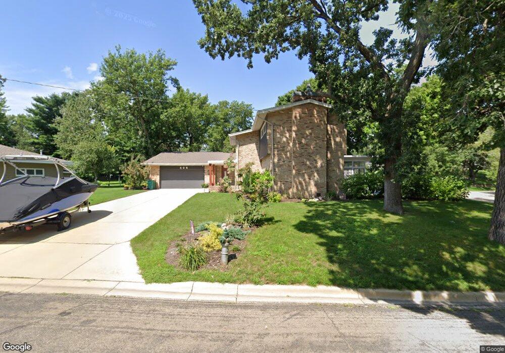
406 Channel Rd Albert Lea, MN 56007
Estimated Value: $488,000 - $609,000
4
Beds
5
Baths
5,408
Sq Ft
$103/Sq Ft
Est. Value
About This Home
This home is located at 406 Channel Rd, Albert Lea, MN 56007 and is currently estimated at $556,650, approximately $102 per square foot. 406 Channel Rd is a home located in Freeborn County with nearby schools including Lakeview Elementary School, Southwest Middle School, and Albert Lea Senior High School.
Ownership History
Date
Name
Owned For
Owner Type
Purchase Details
Closed on
Dec 7, 2020
Sold by
Olson Corbyn J and Olson Matthew S
Bought by
Theuer Allen G and Theuer Mary C
Current Estimated Value
Home Financials for this Owner
Home Financials are based on the most recent Mortgage that was taken out on this home.
Original Mortgage
$383,300
Outstanding Balance
$341,251
Interest Rate
2.7%
Mortgage Type
VA
Estimated Equity
$215,399
Purchase Details
Closed on
Oct 30, 2017
Sold by
Grothe Nancy Nancy
Bought by
Olson Matthew Matthew and Olson Corbyn Corbyn
Home Financials for this Owner
Home Financials are based on the most recent Mortgage that was taken out on this home.
Original Mortgage
$269,500
Interest Rate
3.78%
Purchase Details
Closed on
Jul 25, 2012
Sold by
Christensen Lorraine J
Bought by
Grothe Nancy A
Create a Home Valuation Report for This Property
The Home Valuation Report is an in-depth analysis detailing your home's value as well as a comparison with similar homes in the area
Home Values in the Area
Average Home Value in this Area
Purchase History
| Date | Buyer | Sale Price | Title Company |
|---|---|---|---|
| Theuer Allen G | $390,000 | None Available | |
| Olson Matthew Matthew | $270,000 | -- | |
| Olson Matthew S | $270,000 | None Available | |
| Grothe Nancy A | -- | -- | |
| Christensen Lorraine J | -- | -- | |
| Theuer Allen Allen | $390,000 | -- |
Source: Public Records
Mortgage History
| Date | Status | Borrower | Loan Amount |
|---|---|---|---|
| Open | Theuer Allen G | $383,300 | |
| Previous Owner | Olson Matthew Matthew | $269,500 | |
| Closed | Theuer Allen Allen | $387,000 |
Source: Public Records
Tax History Compared to Growth
Tax History
| Year | Tax Paid | Tax Assessment Tax Assessment Total Assessment is a certain percentage of the fair market value that is determined by local assessors to be the total taxable value of land and additions on the property. | Land | Improvement |
|---|---|---|---|---|
| 2025 | $7,714 | $614,700 | $59,300 | $555,400 |
| 2024 | $7,644 | $498,900 | $59,300 | $439,600 |
| 2023 | $6,752 | $506,500 | $59,300 | $447,200 |
| 2022 | $6,324 | $442,000 | $59,300 | $382,700 |
| 2021 | $5,104 | $361,000 | $59,300 | $301,700 |
| 2020 | $5,496 | $289,500 | $59,300 | $230,200 |
| 2019 | $5,474 | $289,500 | $59,300 | $230,200 |
| 2018 | $6,840 | $0 | $0 | $0 |
| 2016 | $6,410 | $0 | $0 | $0 |
| 2015 | $6,300 | $0 | $0 | $0 |
| 2014 | $6,670 | $0 | $0 | $0 |
| 2012 | $6,342 | $0 | $0 | $0 |
Source: Public Records
Map
Nearby Homes
- 410 Ridge Rd
- 417 Ridge Rd
- 314 Garden Rd
- 205 Ridge Rd
- 1810 Brookside Dr
- 420 Garden Rd
- 203 South Ln
- 1428 Edgewater Dr
- 308 Lloyd Place
- 209 Burr Oak Dr
- 109 E Hawthorne St
- 103 Giles Place
- 626 E Park Ave
- 314 Burr Oak Dr
- 529 W Park Ln
- 210 Giles Place
- 618 & 620 Giles Place
- 613 & 615 Giles Place
- 913 Abbott St Unit 203
- 1626 Keystone Dr