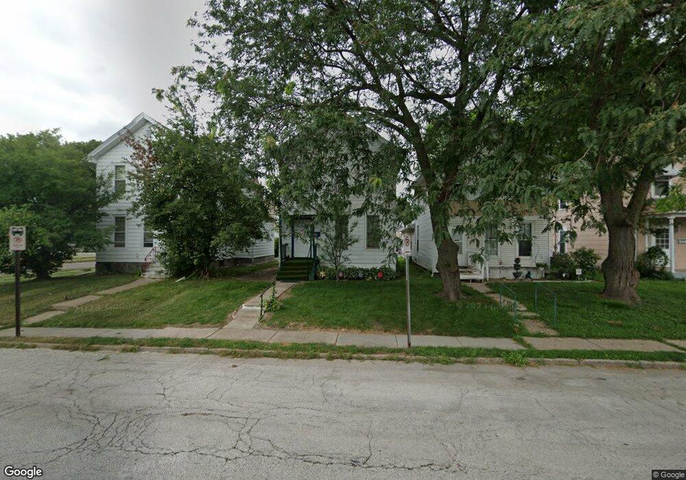
406 E 15th St Davenport, IA 52803
Central Davenport NeighborhoodEstimated Value: $88,000 - $119,000
2
Beds
2
Baths
1,438
Sq Ft
$76/Sq Ft
Est. Value
About This Home
This home is located at 406 E 15th St, Davenport, IA 52803 and is currently estimated at $109,759, approximately $76 per square foot. 406 E 15th St is a home located in Scott County with nearby schools including Madison Elementary School, Williams Intermediate School, and Central High School.
Ownership History
Date
Name
Owned For
Owner Type
Purchase Details
Closed on
Jun 30, 2006
Sold by
Wilkinson Leonard C and Miller Wilkinson Karmen
Bought by
Rash Sharon A
Current Estimated Value
Home Financials for this Owner
Home Financials are based on the most recent Mortgage that was taken out on this home.
Original Mortgage
$65,000
Outstanding Balance
$37,624
Interest Rate
6.68%
Mortgage Type
New Conventional
Estimated Equity
$72,135
Purchase Details
Closed on
Feb 15, 2006
Sold by
Wiley Ambrose E
Bought by
Wilkinson Leonard C and Mill Wilkinson Karmen
Create a Home Valuation Report for This Property
The Home Valuation Report is an in-depth analysis detailing your home's value as well as a comparison with similar homes in the area
Home Values in the Area
Average Home Value in this Area
Purchase History
| Date | Buyer | Sale Price | Title Company |
|---|---|---|---|
| Rash Sharon A | $65,000 | None Available | |
| Wilkinson Leonard C | $17,000 | None Available |
Source: Public Records
Mortgage History
| Date | Status | Borrower | Loan Amount |
|---|---|---|---|
| Open | Rash Sharon A | $65,000 |
Source: Public Records
Tax History
| Year | Tax Paid | Tax Assessment Tax Assessment Total Assessment is a certain percentage of the fair market value that is determined by local assessors to be the total taxable value of land and additions on the property. | Land | Improvement |
|---|---|---|---|---|
| 2025 | $1,256 | $90,540 | $11,240 | $79,300 |
| 2024 | $1,220 | $80,470 | $11,240 | $69,230 |
| 2023 | $1,296 | $80,470 | $11,240 | $69,230 |
| 2022 | $1,236 | $69,540 | $6,100 | $63,440 |
| 2021 | $1,236 | $66,520 | $6,100 | $60,420 |
| 2020 | $1,154 | $63,490 | $6,100 | $57,390 |
| 2019 | $1,088 | $57,040 | $6,100 | $50,940 |
| 2018 | $1,008 | $57,040 | $6,100 | $50,940 |
| 2017 | $1,048 | $54,610 | $6,100 | $48,510 |
| 2016 | $1,006 | $54,610 | $0 | $0 |
| 2015 | $1,006 | $52,920 | $0 | $0 |
| 2014 | $982 | $52,920 | $0 | $0 |
| 2013 | $960 | $0 | $0 | $0 |
| 2012 | -- | $50,710 | $6,330 | $44,380 |
Source: Public Records
Map
Nearby Homes
- 325 Kirkwood Blvd
- 320 E 14th St
- 637 Kirkwood Blvd
- 1812 Pershing Ave
- 618 Douglas Ct
- 209 E 13th St
- 1320 Grand Ave
- 1429 Brady St
- 125 E Locust St
- 1816 Davenport Ave
- 1422 Arlington Ave
- 1518 N Main St
- 2037 Leclaire St
- 1605 Arlington Ave
- 928 Farnam St
- 3 Riverview Place
- 1136 Arlington Ave
- 919 Leclaire St
- 2123 Leclaire St
- 11 Oak Ln
- 408 E 15th St
- 1513 Iowa St
- 410 E 15th St
- 0 Iowa St
- 416 E 15th St
- 330 E 15th St Unit 12E
- 420 E 15th St
- 405 Kirkwood Blvd
- 407 Kirkwood Blvd
- 326 E 15th St
- 326 E 15th St Unit 2, 1/2
- 403 E 15th St
- 422 E 15th St
- 424 E 15th St
- 1518 Iowa St
- 401 Kirkwood Blvd
- 415 Kirkwood Blvd
- 324 E 15th St
- 409 E 15th St
- 1520 Iowa St
Your Personal Tour Guide
Ask me questions while you tour the home.