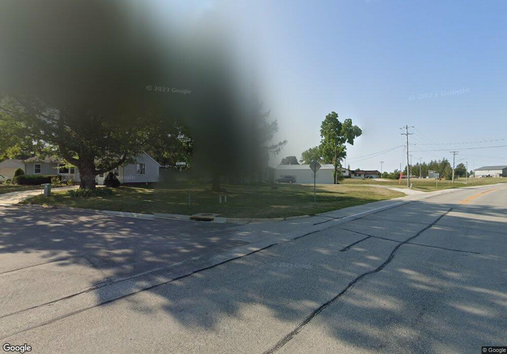
406 E Maple St Calmar, IA 52132
Estimated Value: $128,000 - $168,000
3
Beds
1
Bath
1,148
Sq Ft
$129/Sq Ft
Est. Value
About This Home
This home is located at 406 E Maple St, Calmar, IA 52132 and is currently estimated at $148,442, approximately $129 per square foot. 406 E Maple St is a home located in Winneshiek County with nearby schools including South Winneshiek Elementary School, South Winneshiek Middle School, and South Winneshiek High School.
Ownership History
Date
Name
Owned For
Owner Type
Purchase Details
Closed on
Jan 6, 2023
Sold by
Harris Brandon William and Harris Corinne Fay
Bought by
Harris Brandon William and Harris Corinne Fay
Current Estimated Value
Purchase Details
Closed on
Jul 31, 2017
Sold by
Smith Dalton and Smith Dalton J
Bought by
Harris Brandon William
Home Financials for this Owner
Home Financials are based on the most recent Mortgage that was taken out on this home.
Original Mortgage
$81,818
Interest Rate
3.88%
Mortgage Type
New Conventional
Create a Home Valuation Report for This Property
The Home Valuation Report is an in-depth analysis detailing your home's value as well as a comparison with similar homes in the area
Home Values in the Area
Average Home Value in this Area
Purchase History
| Date | Buyer | Sale Price | Title Company |
|---|---|---|---|
| Harris Brandon William | $1,000 | -- | |
| Harris Brandon William | $81,000 | None Available |
Source: Public Records
Mortgage History
| Date | Status | Borrower | Loan Amount |
|---|---|---|---|
| Previous Owner | Harris Brandon William | $81,818 |
Source: Public Records
Tax History Compared to Growth
Tax History
| Year | Tax Paid | Tax Assessment Tax Assessment Total Assessment is a certain percentage of the fair market value that is determined by local assessors to be the total taxable value of land and additions on the property. | Land | Improvement |
|---|---|---|---|---|
| 2025 | $1,454 | $108,490 | $14,460 | $94,030 |
| 2024 | $1,454 | $95,060 | $14,460 | $80,600 |
| 2023 | $1,416 | $95,060 | $14,460 | $80,600 |
| 2022 | $1,272 | $82,380 | $12,050 | $70,330 |
| 2021 | $1,230 | $76,800 | $12,050 | $64,750 |
| 2020 | $1,230 | $71,870 | $12,050 | $59,820 |
| 2019 | $1,238 | $71,870 | $0 | $0 |
| 2018 | $1,204 | $71,870 | $0 | $0 |
| 2017 | $1,056 | $62,200 | $0 | $0 |
| 2016 | $806 | $51,540 | $0 | $0 |
| 2015 | $782 | $49,350 | $0 | $0 |
| 2014 | $742 | $49,350 | $0 | $0 |
Source: Public Records
Map
Nearby Homes
- 302 S West St
- 206 E Clark St
- 201 N Melden St
- 302 E Main St
- 407 W North St
- 203 N Iowa St
- 204 Railroad St
- 2584 Wild Rose Rd
- 101 St
- 106 School St
- 0 Old Borax Rd Unit NBR20255211
- 0 County Road W42
- 211 Fisher Ave
- 0 Lake Ridge Rd
- 2155 Twin Springs Rd
- 1500 Division St
- 115 S Main St
- 1306 Skyline Dr
- Lot 7 BLK 1 Bruening Second Addition
- 1882 Timber Rd