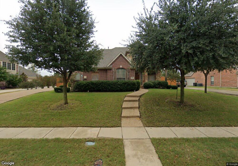
406 High Point Dr Murphy, TX 75094
Estimated Value: $670,439 - $751,000
Studio
--
Bath
3,745
Sq Ft
$192/Sq Ft
Est. Value
About This Home
This home is located at 406 High Point Dr, Murphy, TX 75094 and is currently estimated at $717,610, approximately $191 per square foot. 406 High Point Dr is a home located in Collin County with nearby schools including Martha Hunt Elementary School, Murphy Middle School, and C A Mcmillen High School.
Ownership History
Date
Name
Owned For
Owner Type
Purchase Details
Closed on
May 25, 2006
Sold by
Goodman Family Of Builders Lp
Bought by
Chaaban Ali
Current Estimated Value
Home Financials for this Owner
Home Financials are based on the most recent Mortgage that was taken out on this home.
Original Mortgage
$160,000
Interest Rate
6.5%
Mortgage Type
Fannie Mae Freddie Mac
Create a Home Valuation Report for This Property
The Home Valuation Report is an in-depth analysis detailing your home's value as well as a comparison with similar homes in the area
Home Values in the Area
Average Home Value in this Area
Purchase History
| Date | Buyer | Sale Price | Title Company |
|---|---|---|---|
| Chaaban Ali | -- | None Available |
Source: Public Records
Mortgage History
| Date | Status | Borrower | Loan Amount |
|---|---|---|---|
| Closed | Chaaban Ali | $160,000 |
Source: Public Records
Tax History
| Year | Tax Paid | Tax Assessment Tax Assessment Total Assessment is a certain percentage of the fair market value that is determined by local assessors to be the total taxable value of land and additions on the property. | Land | Improvement |
|---|---|---|---|---|
| 2025 | $8,082 | $624,384 | $185,250 | $534,420 |
| 2024 | $8,082 | $567,622 | $185,250 | $487,061 |
| 2023 | $8,082 | $516,020 | $185,250 | $413,750 |
| 2022 | $9,187 | $469,109 | $142,500 | $399,197 |
| 2021 | $8,807 | $426,463 | $114,000 | $312,463 |
| 2020 | $9,294 | $445,000 | $114,000 | $331,000 |
| 2019 | $9,487 | $433,000 | $114,000 | $319,000 |
| 2018 | $8,900 | $402,505 | $114,000 | $312,329 |
| 2017 | $8,091 | $365,914 | $108,000 | $257,914 |
| 2016 | $8,280 | $378,463 | $108,000 | $270,463 |
| 2015 | $7,177 | $336,259 | $85,500 | $250,759 |
Source: Public Records
Map
Nearby Homes
- 421 Silver Springs Ln
- 417 Remington Dr
- 1014 Amesbury Dr
- 506 Harvest Hill Dr
- 213 Westminister Ave
- 135 Sherwood Dr
- 1200 Whitestone Dr
- 116 Westminister Ave
- 118 Wentwood Dr
- 1333 Thornwood Dr
- 523 Buffalo Bend Ct
- 720 Nighthawk Dr
- 524 Buffalo Bend Ct
- 200 Osman Dr
- 433 Shady Oaks Dr
- 341 Greenfield Dr
- 608 Pheasant Run Dr
- 452 Parkshire Dr
- 443 Lakefield Dr
- 425 Windward Dr
- 410 High Point Dr
- 402 High Point Dr
- 1108 Midpark Ln
- 414 High Point Dr
- 1107 Westminster Ave
- 1107 Westminister Ave
- 407 High Point Dr
- 1112 Midpark Ln
- 405 Daleport Dr
- 409 Daleport Dr
- 418 High Point Dr
- 1111 Westminister Ave
- 318 High Point Dr
- 401 Daleport Dr
- 411 High Point Dr
- 1108 Westminster Ave
- 408 Silver Springs Ln
- 413 Daleport Dr
- 1108 Westminister Ave
- 1116 Midpark Ln
Your Personal Tour Guide
Ask me questions while you tour the home.