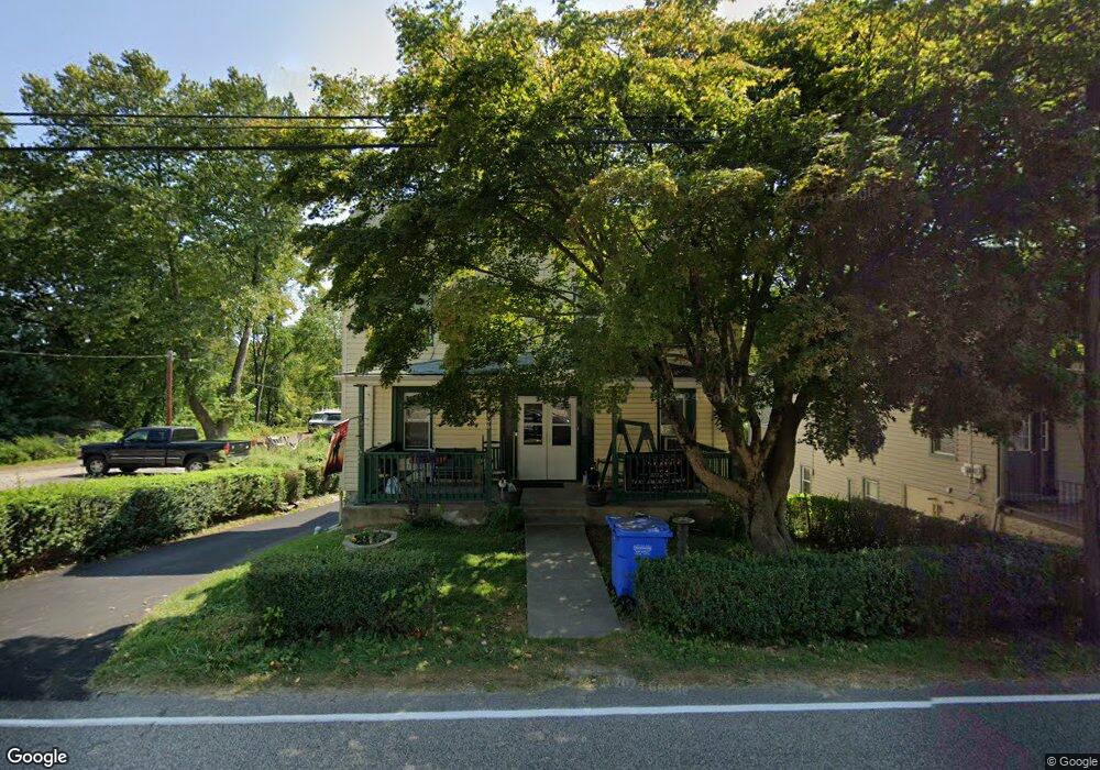
406 Lenni Rd Lenni, PA 19052
Estimated Value: $196,000 - $484,000
5
Beds
2
Baths
1,629
Sq Ft
$192/Sq Ft
Est. Value
About This Home
This home is located at 406 Lenni Rd, Lenni, PA 19052 and is currently estimated at $312,658, approximately $191 per square foot. 406 Lenni Rd is a home with nearby schools including Glenwood Elementary School, Springton Lake Middle School, and Penncrest High School.
Ownership History
Date
Name
Owned For
Owner Type
Purchase Details
Closed on
Aug 25, 2023
Sold by
Trayes Irene and Martini Sharon M
Bought by
Zernell Patricia and Zernell Charles
Current Estimated Value
Purchase Details
Closed on
Oct 28, 2016
Sold by
Trayes Irene and Trayes Gordon
Bought by
Trayes Irene and Trayes Gordon
Purchase Details
Closed on
Feb 2, 2005
Sold by
Beltz Florence M and Trayes Irene
Bought by
Beltz Florence M and Trayes Gordon
Purchase Details
Closed on
Apr 12, 2001
Sold by
Beltz Florence M
Bought by
Beltz Florence M and Trayes Irene
Create a Home Valuation Report for This Property
The Home Valuation Report is an in-depth analysis detailing your home's value as well as a comparison with similar homes in the area
Home Values in the Area
Average Home Value in this Area
Purchase History
| Date | Buyer | Sale Price | Title Company |
|---|---|---|---|
| Zernell Patricia | -- | None Listed On Document | |
| Trayes Irene | -- | None Available | |
| Beltz Florence M | -- | -- | |
| Beltz Florence M | -- | -- |
Source: Public Records
Tax History Compared to Growth
Tax History
| Year | Tax Paid | Tax Assessment Tax Assessment Total Assessment is a certain percentage of the fair market value that is determined by local assessors to be the total taxable value of land and additions on the property. | Land | Improvement |
|---|---|---|---|---|
| 2025 | $3,970 | $205,340 | $83,600 | $121,740 |
| 2024 | $3,970 | $205,340 | $83,600 | $121,740 |
| 2023 | $3,830 | $205,340 | $83,600 | $121,740 |
| 2022 | $3,732 | $205,340 | $83,600 | $121,740 |
| 2021 | $6,354 | $205,340 | $83,600 | $121,740 |
| 2020 | $4,129 | $122,410 | $54,370 | $68,040 |
| 2019 | $3,997 | $122,410 | $54,370 | $68,040 |
| 2018 | $3,941 | $122,410 | $0 | $0 |
| 2017 | $3,853 | $122,410 | $0 | $0 |
| 2016 | $685 | $122,410 | $0 | $0 |
| 2015 | $685 | $122,410 | $0 | $0 |
| 2014 | $685 | $122,410 | $0 | $0 |
Source: Public Records
Map
Nearby Homes
- 234 Elm Ave
- 346 Lenni Rd
- 208 S Pennell Rd
- 206 Chestnut Ave
- 305 Crozerville Rd
- 131 Junction Rd
- 117 Segel Dr
- 237 Harvey Ln
- 3 Rolling Heights Ln
- 220 Spring Valley Way
- 30 Rampart W
- 209 Martins Ln
- 23 Rampart W
- 440 Derry Dr Unit 440
- 268 Miley Rd Unit 268
- 242 Moria Place
- 277 W Baltimore Pike
- 226 Moria Place
- 108 Grace Ln
- 532 Williamson Cir