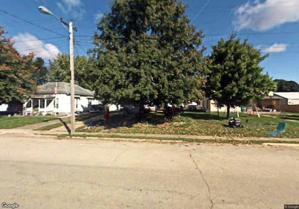
406 Main St Brandon, IA 52210
Estimated Value: $94,169 - $153,000
3
Beds
2
Baths
1,592
Sq Ft
$83/Sq Ft
Est. Value
About This Home
This home is located at 406 Main St, Brandon, IA 52210 and is currently estimated at $131,542, approximately $82 per square foot. 406 Main St is a home located in Buchanan County with nearby schools including West Elementary School, East Elementary School, and Independence Junior/Senior High School.
Ownership History
Date
Name
Owned For
Owner Type
Purchase Details
Closed on
Mar 12, 2021
Sold by
Wood Jill L
Bought by
Lehman Patrick
Current Estimated Value
Home Financials for this Owner
Home Financials are based on the most recent Mortgage that was taken out on this home.
Original Mortgage
$44,900
Outstanding Balance
$40,270
Interest Rate
2.73%
Mortgage Type
New Conventional
Estimated Equity
$91,272
Create a Home Valuation Report for This Property
The Home Valuation Report is an in-depth analysis detailing your home's value as well as a comparison with similar homes in the area
Home Values in the Area
Average Home Value in this Area
Purchase History
| Date | Buyer | Sale Price | Title Company |
|---|---|---|---|
| Lehman Patrick | -- | None Available |
Source: Public Records
Mortgage History
| Date | Status | Borrower | Loan Amount |
|---|---|---|---|
| Open | Lehman Patrick | $44,900 |
Source: Public Records
Tax History Compared to Growth
Tax History
| Year | Tax Paid | Tax Assessment Tax Assessment Total Assessment is a certain percentage of the fair market value that is determined by local assessors to be the total taxable value of land and additions on the property. | Land | Improvement |
|---|---|---|---|---|
| 2025 | $1,022 | $76,680 | $6,540 | $70,140 |
| 2024 | $1,022 | $60,750 | $5,840 | $54,910 |
| 2023 | $930 | $60,750 | $5,840 | $54,910 |
| 2022 | $884 | $49,070 | $4,630 | $44,440 |
| 2021 | $716 | $50,110 | $4,630 | $45,480 |
| 2020 | $716 | $46,100 | $4,090 | $42,010 |
| 2019 | $708 | $46,100 | $4,090 | $42,010 |
| 2018 | $678 | $44,010 | $4,090 | $39,920 |
| 2017 | $800 | $44,010 | $4,090 | $39,920 |
| 2016 | $778 | $48,890 | $2,590 | $46,300 |
| 2015 | $778 | $48,890 | $2,590 | $46,300 |
| 2014 | $798 | $48,890 | $2,590 | $46,300 |
Source: Public Records
Map
Nearby Homes
- 403 South St
- 705 South St
- 0 25th Ave
- 0 Tbd 325th St
- 5141 25th Ave
- 5141 22nd Ave
- 2983 Harrison Ave
- 54th St
- TBD 54th St
- 0 Garling Rd
- PARCEL "A" LOCA 55th St
- 2492 55th St
- 5454 22nd Ave Unit Lot 24
- 5454 22nd Ave Unit 65 & 66
- 12334 Carr Rd
- 00 Garling Rd
- 13518 King Rd
- 2450 Taylor Ave
- 2554 Henley Ave
- 2101 290th St