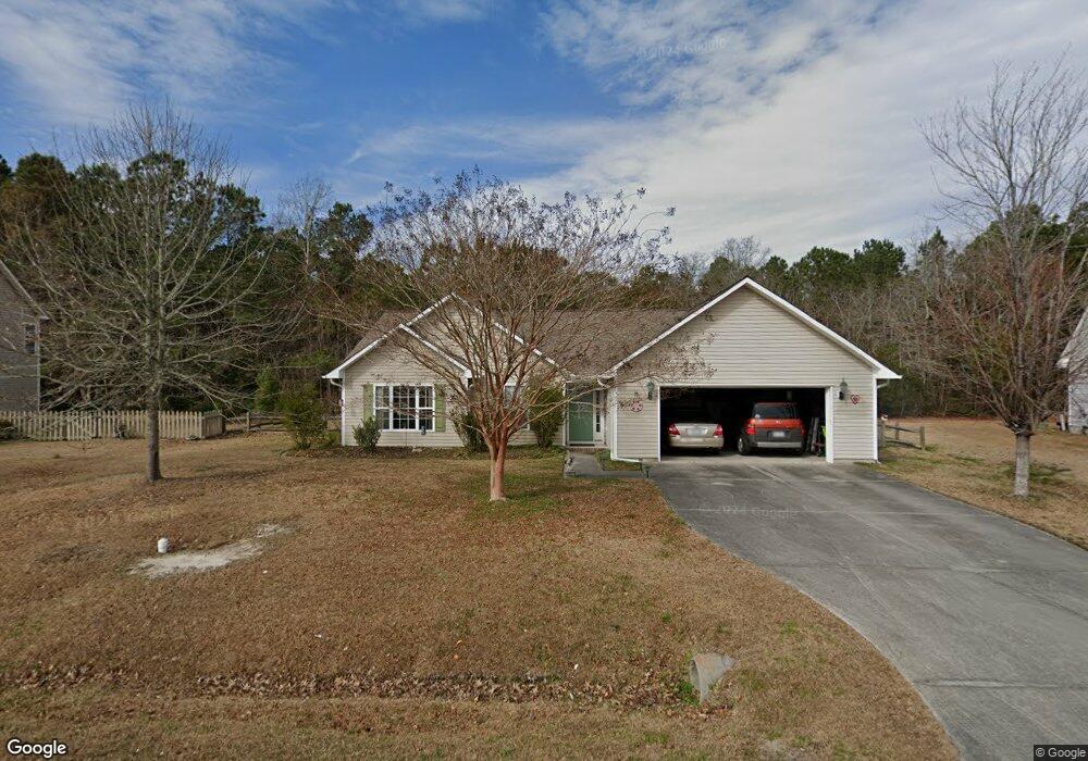
406 Mathew Andrew Ct Swansboro, NC 28584
Estimated Value: $292,000 - $345,000
3
Beds
2
Baths
1,826
Sq Ft
$176/Sq Ft
Est. Value
About This Home
This home is located at 406 Mathew Andrew Ct, Swansboro, NC 28584 and is currently estimated at $320,776, approximately $175 per square foot. 406 Mathew Andrew Ct is a home located in Onslow County with nearby schools including Swansboro Elementary School, Swansboro Middle School, and Swansboro High School.
Ownership History
Date
Name
Owned For
Owner Type
Purchase Details
Closed on
Oct 31, 2008
Sold by
Nelson Edward and Nelson Judith H
Bought by
Perrone Joseph and Perrone Jeanne D
Current Estimated Value
Home Financials for this Owner
Home Financials are based on the most recent Mortgage that was taken out on this home.
Original Mortgage
$160,000
Outstanding Balance
$103,459
Interest Rate
5.78%
Mortgage Type
Purchase Money Mortgage
Estimated Equity
$217,317
Purchase Details
Closed on
Jul 12, 2007
Sold by
Bressler Eli J and Bressler Crystal G
Bought by
Nelson Edward and Nelson Judith H
Create a Home Valuation Report for This Property
The Home Valuation Report is an in-depth analysis detailing your home's value as well as a comparison with similar homes in the area
Home Values in the Area
Average Home Value in this Area
Purchase History
| Date | Buyer | Sale Price | Title Company |
|---|---|---|---|
| Perrone Joseph | $200,000 | None Available | |
| Nelson Edward | $196,000 | None Available |
Source: Public Records
Mortgage History
| Date | Status | Borrower | Loan Amount |
|---|---|---|---|
| Open | Perrone Joseph | $160,000 |
Source: Public Records
Tax History Compared to Growth
Tax History
| Year | Tax Paid | Tax Assessment Tax Assessment Total Assessment is a certain percentage of the fair market value that is determined by local assessors to be the total taxable value of land and additions on the property. | Land | Improvement |
|---|---|---|---|---|
| 2025 | $2,152 | $214,166 | $45,000 | $169,166 |
| 2024 | $2,152 | $214,166 | $45,000 | $169,166 |
| 2023 | $2,152 | $214,166 | $45,000 | $169,166 |
| 2022 | $2,152 | $214,166 | $45,000 | $169,166 |
| 2021 | $1,685 | $159,740 | $30,000 | $129,740 |
| 2020 | $1,685 | $159,740 | $30,000 | $129,740 |
| 2019 | $1,685 | $159,740 | $30,000 | $129,740 |
| 2018 | $1,685 | $159,740 | $30,000 | $129,740 |
| 2017 | $1,629 | $158,940 | $30,000 | $128,940 |
| 2016 | $1,629 | $158,940 | $0 | $0 |
| 2015 | $1,629 | $158,940 | $0 | $0 |
| 2014 | $1,629 | $158,940 | $0 | $0 |
Source: Public Records
Map
Nearby Homes
- 104 Tundra Trail
- 120 Tundra Trail
- 1 Portwest Townhouses Dr Unit D
- 661 Main Street Extension
- 161 Howard Ln
- 200 Low Country Ln
- 1171 Mount Pleasant Rd
- 203 Villagers Way
- Lot #6 Ward Rd
- 651 W Shore Dr
- 209 Villagers Way
- 499 Ward Rd
- 702 Hummingbird S Unit 702
- 109 Forest Ln
- 4 Schooner Dr
- 122 Forest Ln
- 1128 Glancy Rd
- 404 N Jasmine
- 502 Main Street Extension Unit 107
- 1136 &1132 Glancy Rd
- 404 Mathew Andrew Ct
- 408 Mathew Andrew Ct
- 402 Mathew Andrew Ct
- 410 Mathew Andrew Ct
- 405 Mathew Andrew Ct
- 109 Ryan Glenn Dr
- 412 Mathew Andrew Ct
- 111 Ryan Glenn Dr
- 407 Mathew Andrew Ct
- 107 Ryan Glenn Dr
- 113 Ryan Glenn Dr
- 105 Ryan Glenn Dr
- 115 Ryan Glenn Dr
- 409 Mathew Andrew Ct
- 103 Ryan Glenn Dr
- 924 Main Street Extension
- 924 Main Street Extension
- 924 Main Street Extension
- 920 Main Street Extension
- 414 Mathew Andrew Ct