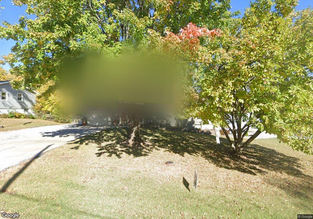
406 Norton Ave Liberty, MO 64068
Estimated Value: $268,000 - $317,000
4
Beds
3
Baths
1,170
Sq Ft
$246/Sq Ft
Est. Value
About This Home
This home is located at 406 Norton Ave, Liberty, MO 64068 and is currently estimated at $288,066, approximately $246 per square foot. 406 Norton Ave is a home located in Clay County with nearby schools including Alexander Doniphan Elementary School, Discovery Middle School, and Liberty High School.
Ownership History
Date
Name
Owned For
Owner Type
Purchase Details
Closed on
Jun 15, 2011
Sold by
Terrill Margaret J
Bought by
Shull Norton K and Shull Jane A
Current Estimated Value
Home Financials for this Owner
Home Financials are based on the most recent Mortgage that was taken out on this home.
Original Mortgage
$50,000
Outstanding Balance
$3,430
Interest Rate
4.74%
Mortgage Type
New Conventional
Estimated Equity
$284,636
Create a Home Valuation Report for This Property
The Home Valuation Report is an in-depth analysis detailing your home's value as well as a comparison with similar homes in the area
Home Values in the Area
Average Home Value in this Area
Purchase History
| Date | Buyer | Sale Price | Title Company |
|---|---|---|---|
| Shull Norton K | -- | None Available |
Source: Public Records
Mortgage History
| Date | Status | Borrower | Loan Amount |
|---|---|---|---|
| Open | Shull Norton K | $50,000 |
Source: Public Records
Tax History Compared to Growth
Tax History
| Year | Tax Paid | Tax Assessment Tax Assessment Total Assessment is a certain percentage of the fair market value that is determined by local assessors to be the total taxable value of land and additions on the property. | Land | Improvement |
|---|---|---|---|---|
| 2025 | $2,276 | $34,830 | -- | -- |
| 2024 | $2,276 | $30,820 | -- | -- |
| 2023 | $2,309 | $30,820 | $0 | $0 |
| 2022 | $2,258 | $29,810 | $0 | $0 |
| 2021 | $2,268 | $29,811 | $6,080 | $23,731 |
| 2020 | $2,361 | $29,280 | $0 | $0 |
| 2019 | $2,362 | $29,279 | $6,650 | $22,629 |
| 2018 | $2,070 | $25,190 | $0 | $0 |
| 2017 | $2,047 | $25,190 | $3,420 | $21,770 |
| 2016 | $2,047 | $25,190 | $3,420 | $21,770 |
| 2015 | $2,047 | $25,190 | $3,420 | $21,770 |
| 2014 | $2,052 | $25,190 | $3,420 | $21,770 |
Source: Public Records
Map
Nearby Homes
- 1991 Harvest Rd
- 1841 Vintage Ln
- 1852 Vintage Ln
- 1733 Welleslay Ln
- 1845 Arbor Trail
- 1975 Harvest Rd
- 1979 Harvest Rd
- 1971 Harvest Rd
- 2153 Black Walnut Dr
- 2152 Black Walnut Dr
- 2157 Black Walnut Dr
- 1836 Green Meadow Dr
- 1537 Canterbury Ln
- 1929 Longview Dr
- 1912 Longview Dr
- 1985 Longview Dr
- 1916 Longview Dr
- 1989 Longview Dr
- 2156 Black Walnut Dr
- 1856 Arbor Trail
- 404 Norton Ave
- 213 Campbell Dr
- 300 Campbell Dr
- 405 Norton Ave
- 402 Norton Ave
- 210 Campbell Dr
- 215 Campbell Dr
- 301 Campbell Dr
- 302 Campbell Dr
- 403 Norton Ave
- 400 Norton Ave
- 303 Campbell Dr
- 401 Norton Ave
- 305 Campbell Dr
- 209 Campbell Dr
- 304 Campbell Dr
- 306 Norton Ave
- 208 Campbell Dr
- 303 Bonnie Ln
- 305 Norton Ave