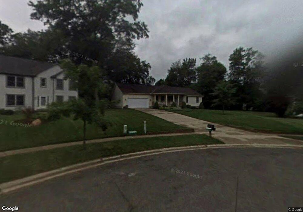
406 Peter Path Tallmadge, OH 44278
Estimated Value: $373,000 - $444,000
3
Beds
3
Baths
2,176
Sq Ft
$186/Sq Ft
Est. Value
About This Home
This home is located at 406 Peter Path, Tallmadge, OH 44278 and is currently estimated at $404,462, approximately $185 per square foot. 406 Peter Path is a home located in Summit County with nearby schools including Tallmadge Middle School, Tallmadge High School, and Cornerstone Community School.
Ownership History
Date
Name
Owned For
Owner Type
Purchase Details
Closed on
Sep 14, 2015
Sold by
Cotton Jeffrey D
Bought by
Cotton Frederic W and Sanford Paula M
Current Estimated Value
Home Financials for this Owner
Home Financials are based on the most recent Mortgage that was taken out on this home.
Original Mortgage
$129,731
Outstanding Balance
$101,756
Interest Rate
3.87%
Mortgage Type
FHA
Estimated Equity
$302,706
Purchase Details
Closed on
Jul 31, 1995
Sold by
Ameri Con Tallmadge Inc
Bought by
Cotton Jeffry D and Cotton Caroline S
Home Financials for this Owner
Home Financials are based on the most recent Mortgage that was taken out on this home.
Original Mortgage
$120,000
Interest Rate
7.59%
Mortgage Type
New Conventional
Create a Home Valuation Report for This Property
The Home Valuation Report is an in-depth analysis detailing your home's value as well as a comparison with similar homes in the area
Home Values in the Area
Average Home Value in this Area
Purchase History
| Date | Buyer | Sale Price | Title Company |
|---|---|---|---|
| Cotton Frederic W | $150,000 | American Certified Title | |
| Cotton Jeffry D | $157,500 | -- |
Source: Public Records
Mortgage History
| Date | Status | Borrower | Loan Amount |
|---|---|---|---|
| Open | Cotton Frederic W | $129,731 | |
| Previous Owner | Cotton Jeffry D | $120,000 |
Source: Public Records
Tax History Compared to Growth
Tax History
| Year | Tax Paid | Tax Assessment Tax Assessment Total Assessment is a certain percentage of the fair market value that is determined by local assessors to be the total taxable value of land and additions on the property. | Land | Improvement |
|---|---|---|---|---|
| 2025 | $5,836 | $115,774 | $21,508 | $94,266 |
| 2024 | $5,836 | $115,774 | $21,508 | $94,266 |
| 2023 | $5,836 | $115,774 | $21,508 | $94,266 |
| 2022 | $5,265 | $85,295 | $15,813 | $69,482 |
| 2021 | $5,288 | $85,295 | $15,813 | $69,482 |
| 2020 | $5,247 | $85,290 | $15,810 | $69,480 |
| 2019 | $5,269 | $76,580 | $15,810 | $60,770 |
| 2018 | $4,649 | $76,580 | $15,810 | $60,770 |
| 2017 | $4,494 | $76,580 | $15,810 | $60,770 |
| 2016 | $4,713 | $71,360 | $15,810 | $55,550 |
| 2015 | $4,494 | $71,360 | $15,810 | $55,550 |
| 2014 | $4,465 | $71,360 | $15,810 | $55,550 |
| 2013 | $3,665 | $69,880 | $15,810 | $54,070 |
Source: Public Records
Map
Nearby Homes
- 187 Oakview Cir
- 528 Helena Dr
- 969 East Ave
- 895 East Ave
- 0 East Ave
- 1168 East Ave
- 0 Newton Unit 5174619
- 1157 Newton St
- 185 Reserve Dr
- 886 Walter Ct
- V/L Tallmadge Rd
- 112 Tallmadge Rd
- 128 Byatt Rd
- 449 Southeast Ave
- 124 Tallmadge Rd
- 256 High Point Cir
- 353 Southeast Ave
- 313 Southeast Ave
- 59 Tudor Ln
- 32 Picadilly Ct