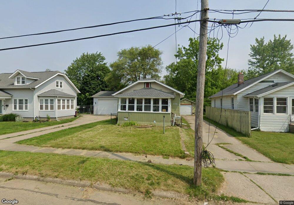
406 Surby Ave Battle Creek, MI 49015
Central Battle Creek NeighborhoodEstimated Value: $134,000 - $174,000
2
Beds
1
Bath
908
Sq Ft
$162/Sq Ft
Est. Value
About This Home
This home is located at 406 Surby Ave, Battle Creek, MI 49015 and is currently estimated at $146,698, approximately $161 per square foot. 406 Surby Ave is a home located in Calhoun County with nearby schools including Lakeview Middle School, Lakeview High School, and Arbor Academy.
Ownership History
Date
Name
Owned For
Owner Type
Purchase Details
Closed on
Aug 24, 2007
Sold by
Burdette Hugh and Rose Rebecca
Bought by
Household Finance Corp Iii
Current Estimated Value
Purchase Details
Closed on
May 9, 2005
Sold by
Davis Mark H and Davis Cortnie C
Bought by
Burdette Hugh and Rose Rebecca
Home Financials for this Owner
Home Financials are based on the most recent Mortgage that was taken out on this home.
Original Mortgage
$77,425
Interest Rate
6.13%
Mortgage Type
Purchase Money Mortgage
Purchase Details
Closed on
Feb 20, 2003
Bought by
Davis Mark H and Davis Cortnie C
Purchase Details
Closed on
Sep 29, 2000
Sold by
Wickert David A
Bought by
Converse Cortnie C and Converse Davis,Mark H
Create a Home Valuation Report for This Property
The Home Valuation Report is an in-depth analysis detailing your home's value as well as a comparison with similar homes in the area
Home Values in the Area
Average Home Value in this Area
Purchase History
| Date | Buyer | Sale Price | Title Company |
|---|---|---|---|
| Household Finance Corp Iii | $39,767 | None Available | |
| Burdette Hugh | $81,500 | Chicago Title Co | |
| Davis Mark H | -- | -- | |
| Converse Cortnie C | $69,900 | -- |
Source: Public Records
Mortgage History
| Date | Status | Borrower | Loan Amount |
|---|---|---|---|
| Previous Owner | Burdette Hugh | $77,425 |
Source: Public Records
Tax History Compared to Growth
Tax History
| Year | Tax Paid | Tax Assessment Tax Assessment Total Assessment is a certain percentage of the fair market value that is determined by local assessors to be the total taxable value of land and additions on the property. | Land | Improvement |
|---|---|---|---|---|
| 2025 | -- | $53,500 | $0 | $0 |
| 2024 | $1,152 | $50,232 | $0 | $0 |
| 2023 | $1,352 | $43,403 | $0 | $0 |
| 2022 | $1,040 | $34,571 | $0 | $0 |
| 2021 | $1,319 | $32,596 | $0 | $0 |
| 2020 | $1,242 | $33,250 | $0 | $0 |
| 2019 | $1,238 | $33,101 | $0 | $0 |
| 2018 | $1,238 | $30,633 | $1,950 | $28,683 |
| 2017 | $1,202 | $28,427 | $0 | $0 |
| 2016 | $1,200 | $27,145 | $0 | $0 |
| 2015 | $1,078 | $25,814 | $1,965 | $23,849 |
| 2014 | $1,078 | $24,094 | $1,965 | $22,129 |
Source: Public Records
Map
Nearby Homes
- 348 Lakeview Ave
- 329 Surby Ave
- 547 Wentworth Ave
- 251 Columbia Ave W Unit 1
- 225 Columbia Ave W Unit 2
- 235 Fairfield Ave
- 533 Territorial Rd W
- 137 Fairfield Ave
- 1 Hiawatha Cove Trail Unit 23
- 127 W Territorial Rd
- 20 Hiawatha Dr
- 143 Waupakisco Beach
- 32 Territorial Rd E
- 126 Devoll Ct
- 179 Eldred St
- 1 Grand Blvd
- 49 N La Vista Blvd
- 123 Arbor St
- 289 Eldred St
- 890 Fairfield Ave
- 402 Surby Ave
- 360 Surby Ave
- 354 Surby Ave
- 420 Surby Ave
- 403 Iroquois Ave
- 359 Iroquois Ave
- 424 Surby Ave
- 421 Iroquois Ave
- 353 Iroquois Ave
- 350 Surby Ave
- 411 Surby Ave
- 413 Surby Ave
- 357 Surby Ave
- 415 Surby Ave
- 430 Surby Ave
- 349 Iroquois Ave
- 425 Iroquois Ave
- 421 Surby Ave
- 353 Surby Ave
- 345 Iroquois Ave