4060 1st Ave Newaygo, MI 49337
Estimated Value: $79,697 - $128,000
2
Beds
1
Bath
980
Sq Ft
$109/Sq Ft
Est. Value
About This Home
This home is located at 4060 1st Ave, Newaygo, MI 49337 and is currently estimated at $106,924, approximately $109 per square foot. 4060 1st Ave is a home located in Newaygo County with nearby schools including Newaygo Elementary School, Vera Wilsie Elementary School, and Newaygo Middle School.
Ownership History
Date
Name
Owned For
Owner Type
Purchase Details
Closed on
Mar 9, 2017
Sold by
Dean David A
Bought by
Tice Sherrie L
Current Estimated Value
Purchase Details
Closed on
Aug 25, 2011
Sold by
Cpi Housing Fund Llc
Bought by
Dean David Allen and Tice Sherrie
Purchase Details
Closed on
Mar 21, 2011
Sold by
Fannie Mae
Bought by
Cpi Housing Fund Llc
Purchase Details
Closed on
Sep 21, 2010
Sold by
Ramond Brenner Deputy Sheriff
Bought by
Federal National Mortgage Association
Purchase Details
Closed on
Apr 5, 2004
Sold by
Schroeder Marylou
Bought by
Schroeder Paul A
Home Financials for this Owner
Home Financials are based on the most recent Mortgage that was taken out on this home.
Original Mortgage
$50,050
Interest Rate
9.8%
Mortgage Type
Purchase Money Mortgage
Create a Home Valuation Report for This Property
The Home Valuation Report is an in-depth analysis detailing your home's value as well as a comparison with similar homes in the area
Home Values in the Area
Average Home Value in this Area
Purchase History
| Date | Buyer | Sale Price | Title Company |
|---|---|---|---|
| Tice Sherrie L | -- | -- | |
| Dean David Allen | $8,000 | -- | |
| Cpi Housing Fund Llc | $5,000 | -- | |
| Federal National Mortgage Association | $63,461 | -- | |
| Schroeder Paul A | -- | Virtual Title Agency Inc |
Source: Public Records
Mortgage History
| Date | Status | Borrower | Loan Amount |
|---|---|---|---|
| Previous Owner | Schroeder Paul A | $50,050 |
Source: Public Records
Tax History Compared to Growth
Tax History
| Year | Tax Paid | Tax Assessment Tax Assessment Total Assessment is a certain percentage of the fair market value that is determined by local assessors to be the total taxable value of land and additions on the property. | Land | Improvement |
|---|---|---|---|---|
| 2025 | $522 | $23,800 | $0 | $0 |
| 2024 | $3 | $22,900 | $0 | $0 |
| 2023 | $284 | $22,200 | $0 | $0 |
| 2022 | $480 | $19,400 | $0 | $0 |
| 2021 | $468 | $18,300 | $0 | $0 |
| 2020 | $769 | $16,300 | $0 | $0 |
| 2019 | $1,409 | $35,400 | $0 | $0 |
| 2018 | $1,400 | $28,800 | $0 | $0 |
| 2017 | $1,163 | $26,000 | $0 | $0 |
| 2016 | $1,144 | $24,700 | $0 | $0 |
| 2015 | -- | $25,200 | $0 | $0 |
| 2014 | -- | $23,300 | $0 | $0 |
Source: Public Records
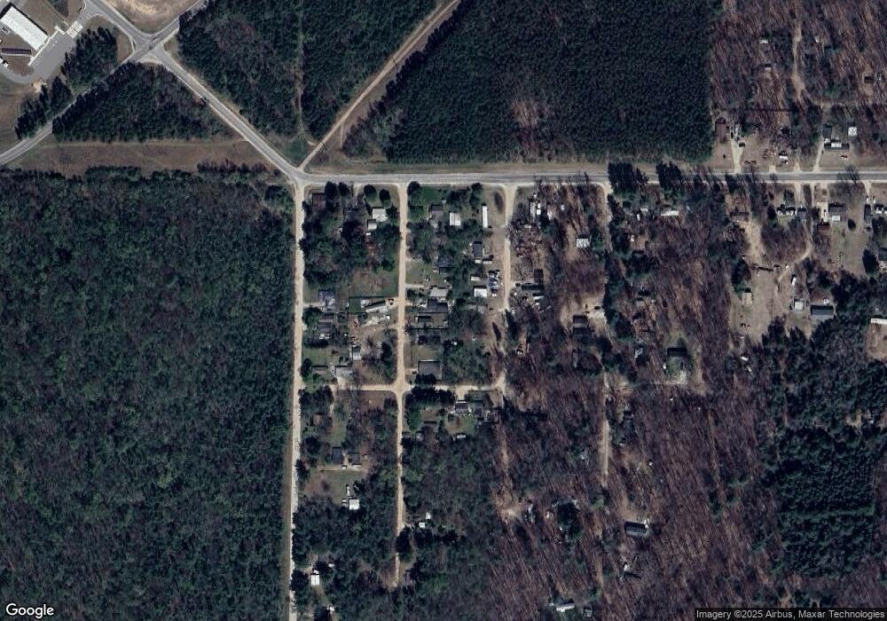
Map
Nearby Homes
- 7668 Elizabeth St
- 7812 Mary Ave
- 3730 Mary Ave
- 4301 Lasalle Ln
- 3259 S Chase Ave
- 8406 E 36th St
- 3230 Johnson Ave
- 4600 Teal Ln
- 4958 Juniper Ridge
- 4855 Juniper Ridge Ave
- 4944 Juniper Ridge Ave
- 4468 Teal Ln
- 5558 King St
- 8182 Hardy Dr
- 8091 Ray Dr
- 6714 Hill St
- 6215 Lake St
- 5557 Front St
- 6073 E 28th St
- 5752 E 52nd St