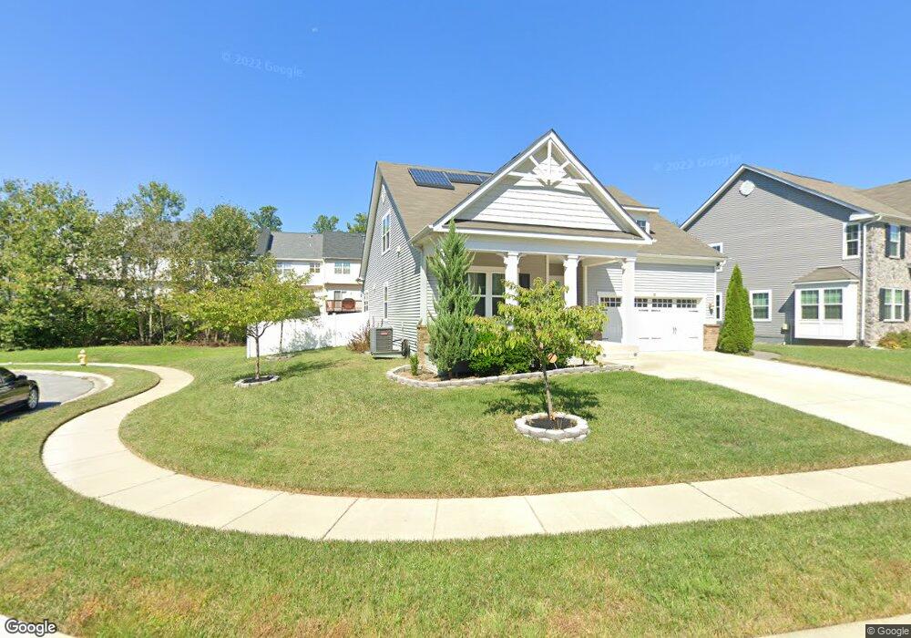
4065 Edmonston Ct S White Plains, MD 20695
Estimated Value: $534,540 - $599,000
4
Beds
4
Baths
3,760
Sq Ft
$151/Sq Ft
Est. Value
About This Home
This home is located at 4065 Edmonston Ct S, White Plains, MD 20695 and is currently estimated at $568,135, approximately $151 per square foot. 4065 Edmonston Ct S is a home located in Charles County with nearby schools including Daniel of St. Thomas Jenifer Elementary School, Mattawoman Middle School, and Thomas Stone High School.
Ownership History
Date
Name
Owned For
Owner Type
Purchase Details
Closed on
Apr 15, 2016
Sold by
Nvr Inc
Bought by
King Tacuma Dion and King Joyce A
Current Estimated Value
Home Financials for this Owner
Home Financials are based on the most recent Mortgage that was taken out on this home.
Original Mortgage
$409,360
Outstanding Balance
$325,744
Interest Rate
3.73%
Mortgage Type
VA
Estimated Equity
$242,391
Purchase Details
Closed on
Dec 29, 2015
Sold by
Edmonton Llc
Bought by
Nvr Inc
Create a Home Valuation Report for This Property
The Home Valuation Report is an in-depth analysis detailing your home's value as well as a comparison with similar homes in the area
Home Values in the Area
Average Home Value in this Area
Purchase History
| Date | Buyer | Sale Price | Title Company |
|---|---|---|---|
| King Tacuma Dion | $409,360 | Stewart Title Guaranty Co | |
| Nvr Inc | $100,000 | Attorney |
Source: Public Records
Mortgage History
| Date | Status | Borrower | Loan Amount |
|---|---|---|---|
| Open | King Tacuma Dion | $409,360 |
Source: Public Records
Tax History Compared to Growth
Tax History
| Year | Tax Paid | Tax Assessment Tax Assessment Total Assessment is a certain percentage of the fair market value that is determined by local assessors to be the total taxable value of land and additions on the property. | Land | Improvement |
|---|---|---|---|---|
| 2025 | $19,970 | $469,200 | $120,000 | $349,200 |
| 2024 | $7,857 | $454,600 | $0 | $0 |
| 2023 | $6,288 | $440,000 | $0 | $0 |
| 2022 | $7,418 | $425,400 | $110,000 | $315,400 |
| 2021 | $7,122 | $415,667 | $0 | $0 |
| 2020 | $7,122 | $405,933 | $0 | $0 |
| 2019 | $6,980 | $396,200 | $105,000 | $291,200 |
| 2018 | $6,844 | $389,167 | $0 | $0 |
| 2017 | $6,742 | $382,133 | $0 | $0 |
| 2016 | -- | $375,100 | $0 | $0 |
| 2015 | -- | $55,567 | $0 | $0 |
| 2014 | -- | $33,933 | $0 | $0 |
Source: Public Records
Map
Nearby Homes
- 2545 Enterprise Place
- HAYDEN Plan at Acton Park
- 2522 Regal Place
- 231 Westdale Dr
- 2031 Tanglewood Dr
- 2073 Tanglewood Dr
- 11519 Shearwater Dr
- 11565 Timberbrook Dr
- 12113 Farrar Place
- 11748 Torcello Ct
- 11613 Gallinule Ct
- 11824 Murre Ct
- 11616 Kipling Dr
- 11540 Leland Place
- 2712 Tred Avon Ct
- 2704 Tred Avon Ct
- 11507 Timberbrook Dr
- 11800 Railroad Place
- 2717 Stanford Place
- 0 Hamilton Rd Unit MDCH2045568
- 2567 Enterprise Place
- 2560 Enterprise Place
- 2562 Enterprise Place
- 2559 Enterprise Place
- 2569 Enterprise Place
- 2564 Enterprise Place
- 2557 Enterprise Place
- 2566 Enterprise Place
- 2571 Enterprise Place
- 2555 Enterprise Place
- 2568 Enterprise Place
- 2573 Enterprise Place
- 2553 Enterprise Place
- 2570 Enterprise Place
- 2551 Enterprise Place
- 2550 Enterprise Place
- 2572 Enterprise Place
- 11853 Edmont Place
- 2548 Enterprise Place
- 11846 Edmont Place