Estimated Value: $398,000 - $758,161
5
Beds
5
Baths
4,883
Sq Ft
$114/Sq Ft
Est. Value
About This Home
This home is located at 4068 Rountree Rd, Ayden, NC 28513 and is currently estimated at $558,540, approximately $114 per square foot. 4068 Rountree Rd is a home located in Pitt County with nearby schools including H.B. Sugg Elementary School, Sam D. Bundy Elementary School, and Farmville Middle School.
Ownership History
Date
Name
Owned For
Owner Type
Purchase Details
Closed on
Sep 11, 2025
Sold by
Rider Marilyn
Bought by
Rider Franklin
Current Estimated Value
Home Financials for this Owner
Home Financials are based on the most recent Mortgage that was taken out on this home.
Original Mortgage
$180,231
Outstanding Balance
$180,231
Interest Rate
6.72%
Mortgage Type
New Conventional
Estimated Equity
$378,309
Create a Home Valuation Report for This Property
The Home Valuation Report is an in-depth analysis detailing your home's value as well as a comparison with similar homes in the area
Home Values in the Area
Average Home Value in this Area
Purchase History
| Date | Buyer | Sale Price | Title Company |
|---|---|---|---|
| Rider Franklin | $177,000 | None Listed On Document |
Source: Public Records
Mortgage History
| Date | Status | Borrower | Loan Amount |
|---|---|---|---|
| Open | Rider Franklin | $180,231 |
Source: Public Records
Tax History Compared to Growth
Tax History
| Year | Tax Paid | Tax Assessment Tax Assessment Total Assessment is a certain percentage of the fair market value that is determined by local assessors to be the total taxable value of land and additions on the property. | Land | Improvement |
|---|---|---|---|---|
| 2025 | $4,229 | $573,161 | $134,217 | $438,944 |
| 2024 | $4,217 | $573,161 | $134,217 | $438,944 |
| 2023 | $3,538 | $413,605 | $82,445 | $331,160 |
| 2022 | $3,555 | $413,605 | $82,445 | $331,160 |
| 2021 | $3,437 | $413,605 | $82,445 | $331,160 |
| 2020 | $3,458 | $413,605 | $82,445 | $331,160 |
| 2019 | $3,225 | $375,444 | $70,405 | $305,039 |
| 2018 | $3,022 | $375,444 | $70,405 | $305,039 |
| 2017 | $3,022 | $375,444 | $70,405 | $305,039 |
| 2016 | $2,984 | $375,444 | $70,405 | $305,039 |
| 2015 | $2,609 | $371,532 | $76,980 | $294,552 |
| 2014 | $2,609 | $371,532 | $76,980 | $294,552 |
Source: Public Records
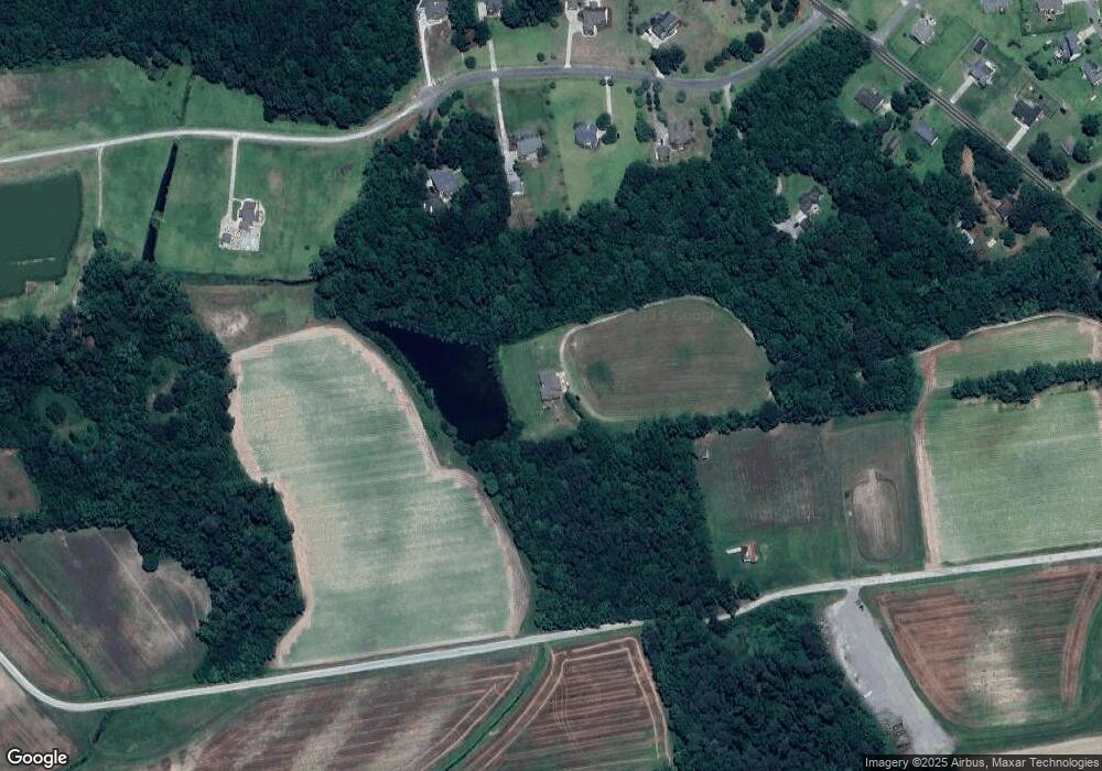
Map
Nearby Homes
- 1701 Shady Creek Rd
- B Shady Creek Rd
- 3947 Rountree Rd
- 0 Shady Creek Rd
- 1568 Hidden Acres Ln
- 2489 Pocosin Rd
- 4321 Nc 903 S
- 1429 Pocosin Rd
- 4321 N Carolina 903
- 1253 Pocosin Rd
- 3500 Stetsan Way
- 1051 Davenport Place
- 5162 Rountree Rd
- 5170 Rountree Rd
- 1785 Forlines Rd
- 894 Sutters Place Dr
- 3179 Ballards Crossroads
- 1807 Branson Ct
- BOOTH - DRHE Plan at Dail Farm
- SALEM - DRHE Plan at Dail Farm
- 1679 Shady Creek Rd
- 1697 Shady Creek Rd
- 1657 Shady Creek Rd
- 1637 Shady Creek Rd
- 1621 Shady Creek Rd
- 1636 Shady Creek Rd
- 1656 Shady Creek Rd
- 1676 Shady Creek Rd
- 1694 Shady Creek Rd
- 3986 Rountree Rd
- 3946 Rountree Rd
- 4030 Rountree Rd
- 1565 Joseph Daniels Ln
- 3995 Rountree Rd
- 1564 Joseph Daniels Ln
- 4003 Rountree Rd
- 4011 Rountree Rd
- 4017 Rountree Rd
- 1556 Joseph Daniels Ln
- 4058 Rountree Rd