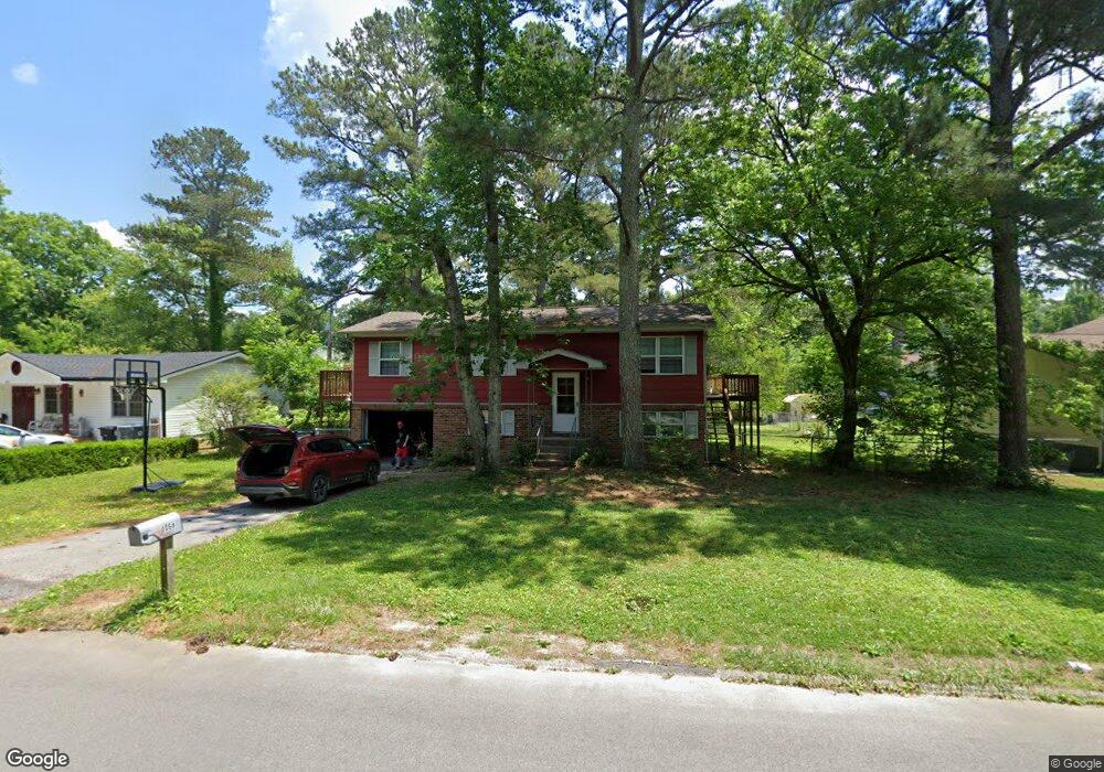
4068 W Freedom Cir Ooltewah, TN 37363
Estimated Value: $254,493 - $278,000
3
Beds
3
Baths
1,573
Sq Ft
$169/Sq Ft
Est. Value
About This Home
This home is located at 4068 W Freedom Cir, Ooltewah, TN 37363 and is currently estimated at $265,373, approximately $168 per square foot. 4068 W Freedom Cir is a home located in Hamilton County with nearby schools including Wolftever Creek Elementary School, Ooltewah Middle School, and Ooltewah High School.
Ownership History
Date
Name
Owned For
Owner Type
Purchase Details
Closed on
Apr 18, 2019
Sold by
Rawson Richard L and Rawson Beverly T
Bought by
Rawson Richard L and Rawson Beverly T
Current Estimated Value
Purchase Details
Closed on
Apr 17, 2008
Sold by
Farr Lola Kay
Bought by
Rawson Richard and Rawson Beverly
Purchase Details
Closed on
Feb 10, 1999
Sold by
Mark Farr John
Bought by
Farr Lola Kay
Create a Home Valuation Report for This Property
The Home Valuation Report is an in-depth analysis detailing your home's value as well as a comparison with similar homes in the area
Home Values in the Area
Average Home Value in this Area
Purchase History
| Date | Buyer | Sale Price | Title Company |
|---|---|---|---|
| Rawson Richard L | -- | None Available | |
| Rawson Richard | $62,100 | None Available | |
| Farr Lola Kay | -- | -- |
Source: Public Records
Tax History Compared to Growth
Tax History
| Year | Tax Paid | Tax Assessment Tax Assessment Total Assessment is a certain percentage of the fair market value that is determined by local assessors to be the total taxable value of land and additions on the property. | Land | Improvement |
|---|---|---|---|---|
| 2024 | $927 | $41,425 | $0 | $0 |
| 2023 | $936 | $41,425 | $0 | $0 |
| 2022 | $936 | $41,425 | $0 | $0 |
| 2021 | $936 | $41,425 | $0 | $0 |
| 2020 | $763 | $27,250 | $0 | $0 |
| 2019 | $763 | $27,250 | $0 | $0 |
| 2018 | $763 | $27,250 | $0 | $0 |
| 2017 | $763 | $27,250 | $0 | $0 |
| 2016 | $715 | $0 | $0 | $0 |
| 2015 | $715 | $25,525 | $0 | $0 |
| 2014 | $715 | $0 | $0 | $0 |
Source: Public Records
Map
Nearby Homes
- 4060 E Freedom Cir
- 4087 W Freedom Cir
- 2716 Nile Rd
- 2813 Nile Rd
- 2830 Saint Lawrence Rd
- 2427 Maplewood Dr
- 9307 Wyndover Dr
- 2807 Rio Grande Rd
- 8907 Bill Reed Rd
- 2730 Windthrush Dr
- 8798 Wandering Way
- 2607 Hope Valley Trail
- 8206 Thrush Hollow Ln
- 8453 Standifer Gap Rd
- 8218 Bill Reed Rd
- 3106 Reflection Ln
- 2341 Lake Mist Dr
- 8476 Standifer Gap Rd
- 8500 Standifer Gap Rd Unit 1
- 8454 Maple Valley Dr
- 4070 W Freedom Cir
- 4066 W Freedom Cir
- 4077 W Freedom Cir
- 8467 Maplewood Trail
- 4072 W Freedom Cir
- 4072 W Freedom Cir Unit 2
- 4062 E Freedom Cir
- 4062 E Freedom Cir Unit 2
- 6845 Steep Hill
- 6837 Steep Hill
- 4060 E East Freedom Cir
- 4064 E Freedom Cir
- 4056 E Freedom Cir
- 4074 W Freedom Cir
- 4074 W Freedom Cir Unit 2
- 4054 E Freedom Cir
- 4076 W Freedom Cir
- 4061 E Freedom Cir
- 4061 E Freedom Cir Unit 2
- 8470 Maplewood Trail