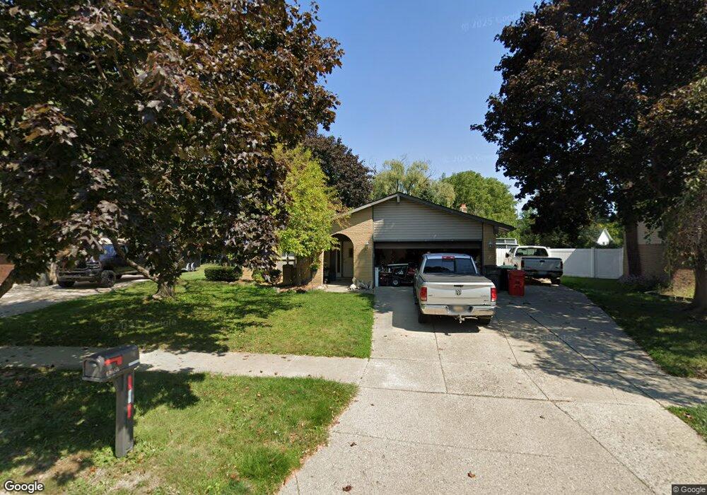
40680 Michael St Clinton Township, MI 48038
Estimated Value: $316,000 - $338,382
--
Bed
1
Bath
1,600
Sq Ft
$206/Sq Ft
Est. Value
About This Home
This home is located at 40680 Michael St, Clinton Township, MI 48038 and is currently estimated at $329,346, approximately $205 per square foot. 40680 Michael St is a home located in Macomb County with nearby schools including Clinton Valley Elementary School, Algonquin Middle School, and Chippewa Valley High School.
Ownership History
Date
Name
Owned For
Owner Type
Purchase Details
Closed on
May 25, 2024
Sold by
Hassel Kathleen C
Bought by
Zeleney Zachary
Current Estimated Value
Purchase Details
Closed on
Jan 10, 2023
Sold by
Zeleney Kathleen C
Bought by
Zeleney Kathleen C
Purchase Details
Closed on
Mar 28, 2014
Sold by
Zeleney David
Bought by
Zeleney Kathleen C
Purchase Details
Closed on
Nov 4, 1994
Sold by
Mark A Theisen
Bought by
Zeleney David and Zeleney Kathleen
Home Financials for this Owner
Home Financials are based on the most recent Mortgage that was taken out on this home.
Original Mortgage
$102,600
Interest Rate
8.25%
Mortgage Type
New Conventional
Create a Home Valuation Report for This Property
The Home Valuation Report is an in-depth analysis detailing your home's value as well as a comparison with similar homes in the area
Home Values in the Area
Average Home Value in this Area
Purchase History
| Date | Buyer | Sale Price | Title Company |
|---|---|---|---|
| Zeleney Zachary | -- | None Listed On Document | |
| Zeleney Kathleen C | -- | Land Title | |
| Zeleney Kathleen C | -- | Land Title | |
| Zeleney Kathleen C | -- | None Available | |
| Zeleney David | $114,000 | -- |
Source: Public Records
Mortgage History
| Date | Status | Borrower | Loan Amount |
|---|---|---|---|
| Previous Owner | Zeleney David | $102,600 |
Source: Public Records
Tax History Compared to Growth
Tax History
| Year | Tax Paid | Tax Assessment Tax Assessment Total Assessment is a certain percentage of the fair market value that is determined by local assessors to be the total taxable value of land and additions on the property. | Land | Improvement |
|---|---|---|---|---|
| 2025 | $4,224 | $173,800 | $0 | $0 |
| 2024 | $2,517 | $160,400 | $0 | $0 |
| 2023 | $2,387 | $145,100 | $0 | $0 |
| 2022 | $3,828 | $133,300 | $0 | $0 |
| 2021 | $3,823 | $124,500 | $0 | $0 |
| 2020 | $2,287 | $120,000 | $0 | $0 |
| 2019 | $3,468 | $113,400 | $0 | $0 |
| 2018 | $3,555 | $107,000 | $0 | $0 |
| 2017 | $3,518 | $100,600 | $21,600 | $79,000 |
| 2016 | $3,344 | $100,600 | $0 | $0 |
| 2015 | -- | $94,000 | $0 | $0 |
| 2014 | -- | $87,600 | $0 | $0 |
| 2011 | -- | $82,800 | $22,500 | $60,300 |
Source: Public Records
Map
Nearby Homes
- 40772 Michael St
- 19892 Towner Dr
- 19915 Emerald Ln N
- 40448 Emerald Ln W
- 41217 Fortuna Dr E
- 19821 Woodview Dr
- 19054 Marisa Dr
- 41321 Chestnut Dr
- 41201 Whispering Oaks Dr Unit 17
- 20140 Shoals Ct Unit 16
- 20330 Rambling Dr
- 20403 Robinway Dr
- 41704 Clinton Pines Dr
- 20641 Mendocino Dr
- 41992 Merrimac Cir
- 18960 Sandhurst Dr
- 18144 N Oak Dr
- 41985 Dorchester Ct
- 0 Harrington St Unit 20251011459
- 21114 Lilac Ln Unit 170
- 40694 Michael St
- 40708 Michael St
- 40677 Michael St
- 19511 Korte Dr
- 19600 Canal Rd
- 19537 Korte Dr
- 40709 Michael St
- 40645 Michael St
- 19563 Korte Dr
- 40725 Michael St
- 40629 Michael St
- 19589 Korte Dr
- 40648 William Dr
- 19615 Korte Dr
- 40742 Michael St
- 19510 Korte Dr
- 40632 William Dr
- 40741 Michael St
- 40613 Michael St Unit Bldg-Unit
- 40613 Michael St