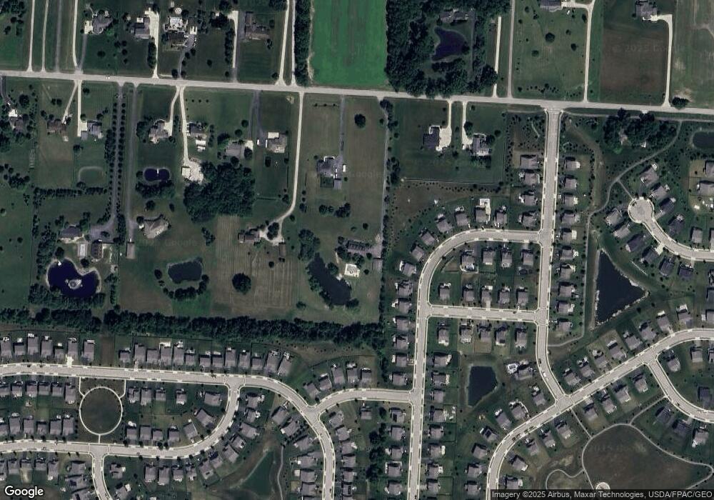
4069 Clark Shaw Rd Powell, OH 43065
Concord NeighborhoodEstimated Value: $782,000 - $906,329
4
Beds
5
Baths
3,000
Sq Ft
$276/Sq Ft
Est. Value
About This Home
This home is located at 4069 Clark Shaw Rd, Powell, OH 43065 and is currently estimated at $828,832, approximately $276 per square foot. 4069 Clark Shaw Rd is a home located in Delaware County with nearby schools including Buckeye Valley High School and The Emilia School.
Ownership History
Date
Name
Owned For
Owner Type
Purchase Details
Closed on
Nov 30, 2010
Sold by
Gasbarro Amy and Gasbarro Vincent
Bought by
White Sherry
Current Estimated Value
Home Financials for this Owner
Home Financials are based on the most recent Mortgage that was taken out on this home.
Original Mortgage
$308,000
Outstanding Balance
$194,515
Interest Rate
3.37%
Mortgage Type
Purchase Money Mortgage
Estimated Equity
$634,317
Purchase Details
Closed on
Nov 10, 2004
Sold by
Carroll Donald D and Carroll Nicole L
Bought by
Gasbarro Amy
Home Financials for this Owner
Home Financials are based on the most recent Mortgage that was taken out on this home.
Original Mortgage
$328,000
Interest Rate
3.94%
Mortgage Type
Purchase Money Mortgage
Create a Home Valuation Report for This Property
The Home Valuation Report is an in-depth analysis detailing your home's value as well as a comparison with similar homes in the area
Home Values in the Area
Average Home Value in this Area
Purchase History
| Date | Buyer | Sale Price | Title Company |
|---|---|---|---|
| White Sherry | $385,000 | Real Living | |
| Gasbarro Amy | $410,000 | Title First Agency Inc |
Source: Public Records
Mortgage History
| Date | Status | Borrower | Loan Amount |
|---|---|---|---|
| Open | White Sherry | $308,000 | |
| Previous Owner | Gasbarro Amy | $328,000 |
Source: Public Records
Tax History Compared to Growth
Tax History
| Year | Tax Paid | Tax Assessment Tax Assessment Total Assessment is a certain percentage of the fair market value that is determined by local assessors to be the total taxable value of land and additions on the property. | Land | Improvement |
|---|---|---|---|---|
| 2024 | $8,177 | $234,650 | $83,410 | $151,240 |
| 2023 | $8,168 | $234,650 | $83,410 | $151,240 |
| 2022 | $6,986 | $181,340 | $52,080 | $129,260 |
| 2021 | $6,989 | $181,340 | $52,080 | $129,260 |
| 2020 | $7,034 | $181,340 | $52,080 | $129,260 |
| 2019 | $6,082 | $143,610 | $43,400 | $100,210 |
| 2018 | $6,178 | $143,610 | $43,400 | $100,210 |
| 2017 | $5,827 | $139,030 | $34,340 | $104,690 |
| 2016 | $5,607 | $139,030 | $34,340 | $104,690 |
| 2015 | $5,905 | $139,030 | $34,340 | $104,690 |
| 2014 | $5,567 | $139,030 | $34,340 | $104,690 |
| 2013 | $5,409 | $130,560 | $34,340 | $96,220 |
Source: Public Records
Map
Nearby Homes
- 4161 Clark Shaw Rd
- 4132 Bluebird Dr
- 4040 Clark Shaw Rd
- 4142 Pyke Dr
- 0 Clark-Shaw Rd Unit 225020834
- 5786 Shadowfair Ln
- 3441 Crimson Stone Dr
- 4140 Copeland Ct
- 5737 Shadowfair Ln
- Dearborn Plan at Woodcrest Crossing
- Bexley Plan at Woodcrest Crossing
- Findlay Plan at Woodcrest Crossing
- Fremont Plan at Woodcrest Crossing
- 3993 Colts Reign Dr
- 3761 Colts Reign Dr
- 3979 Colts Reign Dr
- 3885 Colts Reign Dr
- 3875 Colts Reign Dr
- 3668 Colts Reign Dr
- 3967 Colts Reign Dr
- 5642 Landgate Dr
- 5634 Landgate Dr
- 5656 Landgate Dr
- 5626 Landgate Dr Unit Lot 6872
- 5626 Landgate Dr
- 5670 Landgate Dr
- 4089 Clark Shaw Rd
- 5682 Landgate Dr Unit Lot 6877
- 5614 Landgate Dr
- 4060 Stonehill Way
- 4121 Clark Shaw Rd
- 5696 Landgate Dr
- 5606 Landgate Dr
- 5617 Landgate Dr
- 5617 Landgate Dr Unit Lot 6896
- 5708 Landgate Dr Unit Lot 6879
- 4063 Stonehill Way
- 4154 Grouse Point
- 4166 Grouse Point
- 4172 Grouse Point
