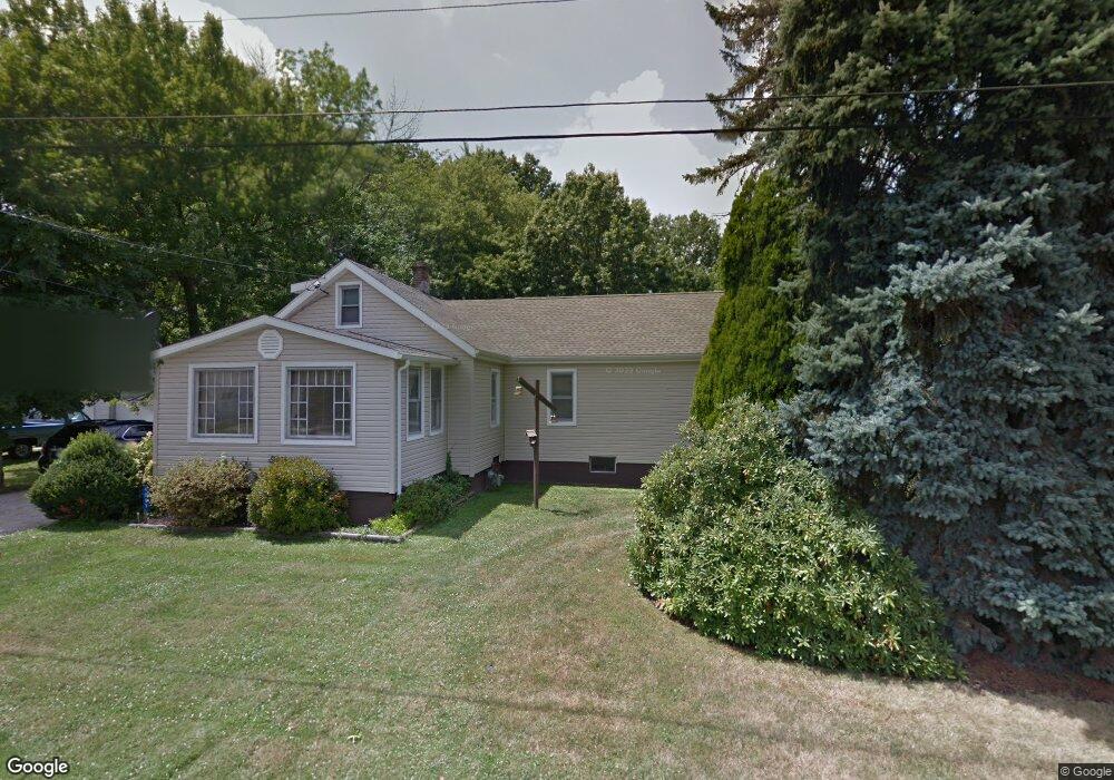
4069 Reiss Rd Rootstown, OH 44272
Estimated Value: $196,600 - $245,000
2
Beds
1
Bath
1,788
Sq Ft
$124/Sq Ft
Est. Value
About This Home
This home is located at 4069 Reiss Rd, Rootstown, OH 44272 and is currently estimated at $220,900, approximately $123 per square foot. 4069 Reiss Rd is a home located in Portage County with nearby schools including Rootstown Middle School - Schnee Building and Rootstown High School.
Ownership History
Date
Name
Owned For
Owner Type
Purchase Details
Closed on
Apr 2, 2003
Sold by
Korogi Mary K
Bought by
Korogi Andrew G
Current Estimated Value
Home Financials for this Owner
Home Financials are based on the most recent Mortgage that was taken out on this home.
Original Mortgage
$35,000
Interest Rate
6%
Mortgage Type
Seller Take Back
Purchase Details
Closed on
Jan 1, 1990
Bought by
Korogi Andrew G and Korogi Mary K
Create a Home Valuation Report for This Property
The Home Valuation Report is an in-depth analysis detailing your home's value as well as a comparison with similar homes in the area
Purchase History
| Date | Buyer | Sale Price | Title Company |
|---|---|---|---|
| Korogi Andrew G | -- | -- | |
| Korogi Andrew G | -- | -- |
Source: Public Records
Mortgage History
| Date | Status | Borrower | Loan Amount |
|---|---|---|---|
| Closed | Korogi Andrew G | $35,000 |
Source: Public Records
Tax History
| Year | Tax Paid | Tax Assessment Tax Assessment Total Assessment is a certain percentage of the fair market value that is determined by local assessors to be the total taxable value of land and additions on the property. | Land | Improvement |
|---|---|---|---|---|
| 2025 | $2,073 | $59,190 | $7,670 | $51,520 |
| 2024 | $2,008 | $59,190 | $7,670 | $51,520 |
| 2023 | $1,692 | $46,170 | $6,760 | $39,410 |
| 2022 | $1,683 | $46,170 | $6,760 | $39,410 |
| 2021 | $1,676 | $46,170 | $6,760 | $39,410 |
| 2020 | $1,448 | $39,830 | $6,440 | $33,390 |
| 2019 | $1,453 | $39,830 | $6,440 | $33,390 |
| 2018 | $1,170 | $32,340 | $6,860 | $25,480 |
| 2017 | $1,170 | $32,340 | $6,860 | $25,480 |
| 2016 | $1,140 | $32,340 | $6,860 | $25,480 |
| 2015 | $1,153 | $32,340 | $6,860 | $25,480 |
| 2014 | $1,175 | $32,340 | $6,860 | $25,480 |
| 2013 | $1,166 | $32,340 | $6,860 | $25,480 |
Source: Public Records
Map
Nearby Homes
- 3981 March Creek Ln Unit 37
- 4200 Hattrick Rd
- 4079 Siefer Dr
- 0 Lynn Rd Unit 5110102
- 3689 Cherry Hill
- 4415 Farmette Dr
- 3701 State Route 44
- V/L 2 Lynn Rd
- V/L Lynn Rd
- sub lot Lane Ave
- 4087 Industry
- 4058 Bayberry Knoll Ln
- 5394 Juniper Ct
- 3637 Old Forge Rd
- 4556 Rootstown Rd
- 3021 Hartville Rd
- 4140 Sandy Lake Rd
- 4958 Bassett Rd
- 3925 Summit Rd
- 524 Ohio Ave
- 4083 Reiss Rd
- 4066 Reiss Rd
- 4091 Reiss Rd
- 4058 Reiss Rd
- 4090 Reiss Rd
- 4051 Reiss Rd
- 4044 Reiss Rd
- 4103 Reiss Rd
- 4850 Gower Rd
- 4052 New Milford Rd
- 4076 New Milford Rd
- 4109 Reiss Rd
- 4816 Gower Rd
- 4831 Tallmadge Rd
- 4053 Hattrick Rd
- 4847 Tallmadge Rd
- 4092 New Milford Rd
- 4866 Gower Rd
- 4868 Gower Rd
- 4065 Hattrick Rd
Your Personal Tour Guide
Ask me questions while you tour the home.