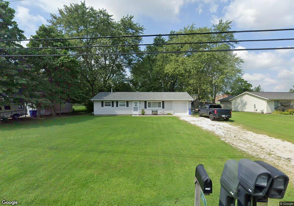
4069 Sabin Dr Rootstown, OH 44272
Estimated Value: $157,590 - $183,000
3
Beds
1
Bath
1,040
Sq Ft
$163/Sq Ft
Est. Value
About This Home
This home is located at 4069 Sabin Dr, Rootstown, OH 44272 and is currently estimated at $169,148, approximately $162 per square foot. 4069 Sabin Dr is a home located in Portage County with nearby schools including Rootstown Middle School - Schnee Building and Rootstown High School.
Ownership History
Date
Name
Owned For
Owner Type
Purchase Details
Closed on
Aug 17, 2016
Sold by
Marchion Susan A and Marchion Phillip
Bought by
Cabriolet Property Management Llc
Current Estimated Value
Purchase Details
Closed on
Mar 23, 2005
Sold by
Adkins Paul R and Adkins Patricia L
Bought by
Thompson John C and Marchion Susan A
Home Financials for this Owner
Home Financials are based on the most recent Mortgage that was taken out on this home.
Original Mortgage
$65,625
Interest Rate
5.88%
Mortgage Type
Fannie Mae Freddie Mac
Purchase Details
Closed on
Jan 1, 1990
Bought by
Adkins Paul R
Create a Home Valuation Report for This Property
The Home Valuation Report is an in-depth analysis detailing your home's value as well as a comparison with similar homes in the area
Purchase History
| Date | Buyer | Sale Price | Title Company |
|---|---|---|---|
| Cabriolet Property Management Llc | $68,000 | None Available | |
| Thompson John C | $87,500 | Approved Statewide Title Age | |
| Adkins Paul R | -- | -- |
Source: Public Records
Mortgage History
| Date | Status | Borrower | Loan Amount |
|---|---|---|---|
| Previous Owner | Thompson John C | $65,625 |
Source: Public Records
Tax History
| Year | Tax Paid | Tax Assessment Tax Assessment Total Assessment is a certain percentage of the fair market value that is determined by local assessors to be the total taxable value of land and additions on the property. | Land | Improvement |
|---|---|---|---|---|
| 2025 | $2,255 | $45,640 | $9,380 | $36,260 |
| 2024 | $1,928 | $45,640 | $9,380 | $36,260 |
| 2023 | $1,466 | $30,490 | $9,380 | $21,110 |
| 2022 | $1,441 | $30,490 | $9,380 | $21,110 |
| 2021 | $1,433 | $30,490 | $9,380 | $21,110 |
| 2020 | $1,348 | $27,580 | $9,380 | $18,200 |
| 2019 | $1,354 | $27,580 | $9,380 | $18,200 |
| 2018 | $1,222 | $23,450 | $9,380 | $14,070 |
| 2017 | $1,222 | $23,450 | $9,380 | $14,070 |
| 2016 | $1,188 | $23,450 | $9,380 | $14,070 |
| 2015 | $1,176 | $23,450 | $9,380 | $14,070 |
| 2014 | $1,197 | $23,450 | $9,380 | $14,070 |
| 2013 | $1,190 | $23,450 | $9,380 | $14,070 |
Source: Public Records
Map
Nearby Homes
- 4079 Siefer Dr
- 3689 Cherry Hill
- 0 Lynn Rd Unit 5110102
- 3701 State Route 44
- V/L 2 Lynn Rd
- V/L Lynn Rd
- 4415 Farmette Dr
- 4200 Hattrick Rd
- sub lot Lane Ave
- 4556 Rootstown Rd
- 4140 Sandy Lake Rd
- 3637 Old Forge Rd
- 4058 Bayberry Knoll Ln
- 5394 Juniper Ct
- 3021 Hartville Rd
- 3925 Summit Rd
- 2978 Sandy Lake Rd
- 1065 Shadowlawn Dr
- 5271 Aspen Meadow Dr
- 524 Ohio Ave
Your Personal Tour Guide
Ask me questions while you tour the home.