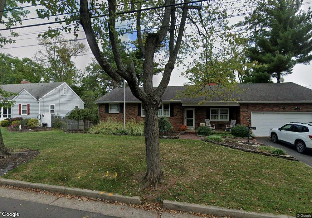
407 Ashland Rd Middlesex, NJ 08846
Estimated Value: $552,000 - $664,927
--
Bed
--
Bath
2,116
Sq Ft
$299/Sq Ft
Est. Value
About This Home
This home is located at 407 Ashland Rd, Middlesex, NJ 08846 and is currently estimated at $631,732, approximately $298 per square foot. 407 Ashland Rd is a home located in Middlesex County with nearby schools including Middlesex High School and Our Lady of Mount Virgin School.
Ownership History
Date
Name
Owned For
Owner Type
Purchase Details
Closed on
Mar 25, 2010
Sold by
Eustace Holly B
Bought by
Eustace Holly B and Ricci Joanne
Current Estimated Value
Home Financials for this Owner
Home Financials are based on the most recent Mortgage that was taken out on this home.
Original Mortgage
$339,845
Outstanding Balance
$231,015
Interest Rate
5.5%
Mortgage Type
FHA
Estimated Equity
$400,717
Purchase Details
Closed on
Jul 31, 2003
Sold by
Wells Ernest
Bought by
Eustace David R and Eustace Holly B
Home Financials for this Owner
Home Financials are based on the most recent Mortgage that was taken out on this home.
Original Mortgage
$292,800
Interest Rate
6.29%
Create a Home Valuation Report for This Property
The Home Valuation Report is an in-depth analysis detailing your home's value as well as a comparison with similar homes in the area
Home Values in the Area
Average Home Value in this Area
Purchase History
| Date | Buyer | Sale Price | Title Company |
|---|---|---|---|
| Eustace Holly B | -- | None Available | |
| Eustace Holly B | -- | None Available | |
| Eustace David R | $366,000 | -- |
Source: Public Records
Mortgage History
| Date | Status | Borrower | Loan Amount |
|---|---|---|---|
| Open | Eustace Holly B | $339,845 | |
| Previous Owner | Eustace David R | $292,800 |
Source: Public Records
Tax History Compared to Growth
Tax History
| Year | Tax Paid | Tax Assessment Tax Assessment Total Assessment is a certain percentage of the fair market value that is determined by local assessors to be the total taxable value of land and additions on the property. | Land | Improvement |
|---|---|---|---|---|
| 2025 | $12,290 | $553,800 | $168,100 | $385,700 |
| 2024 | $11,700 | $531,100 | $168,100 | $363,000 |
| 2023 | $11,700 | $531,100 | $168,100 | $363,000 |
| 2022 | $12,957 | $131,000 | $34,400 | $96,600 |
| 2021 | $9,399 | $131,000 | $34,400 | $96,600 |
| 2020 | $12,343 | $131,000 | $34,400 | $96,600 |
| 2019 | $12,009 | $131,000 | $34,400 | $96,600 |
| 2018 | $11,645 | $131,000 | $34,400 | $96,600 |
| 2017 | $11,324 | $131,000 | $34,400 | $96,600 |
| 2016 | $10,950 | $131,000 | $34,400 | $96,600 |
| 2015 | $10,718 | $131,000 | $34,400 | $96,600 |
| 2014 | $10,514 | $131,000 | $34,400 | $96,600 |
Source: Public Records
Map
Nearby Homes
- 311 Ashland Rd
- 205 Ashland Rd
- 116 Greene Ave
- 231 Fairview Ave
- 363 Grant Ave
- 230 Oak Dr
- 506 Melrose Ave
- 149 Mulberry Ln
- 112 East St
- 310 Howard Ave
- 27 Shearn Dr
- 112 E Union Ave
- 106 Farragut Ave
- 112-114 E Union Ave
- 14 E Maple Ave
- 811 Mountain Ave
- 320 Church St
- 650 Central Ave
- 515 Cook Ave
- 433 Hancock St