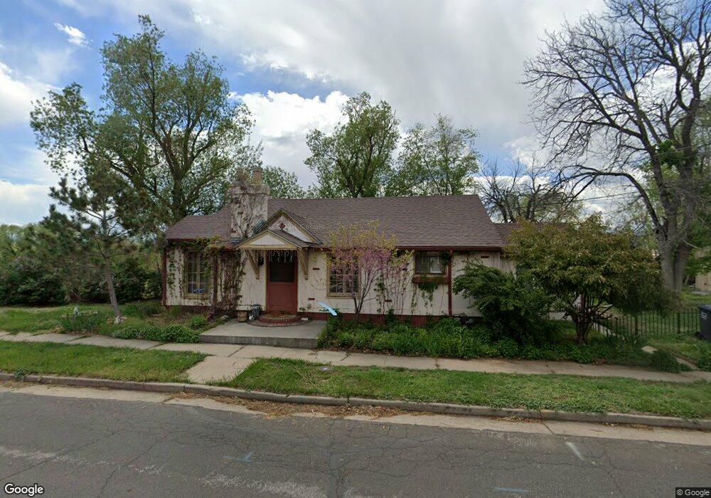
407 Custer Ave Loveland, CO 80537
Estimated Value: $380,171 - $428,000
2
Beds
1
Bath
841
Sq Ft
$486/Sq Ft
Est. Value
About This Home
This home is located at 407 Custer Ave, Loveland, CO 80537 and is currently estimated at $408,543, approximately $485 per square foot. 407 Custer Ave is a home located in Larimer County with nearby schools including Garfield Elementary School, Bill Reed Middle School, and Loveland High School.
Ownership History
Date
Name
Owned For
Owner Type
Purchase Details
Closed on
Mar 8, 2024
Sold by
Turf Christopher Miles
Bought by
407 Custer Avenue Llc
Current Estimated Value
Purchase Details
Closed on
Mar 7, 2024
Sold by
Turf Iv Louis Robert
Bought by
407 Custer Avenue Llc
Purchase Details
Closed on
Oct 12, 2015
Sold by
Turf Iii Louis Robert
Bought by
Turf Louis Robert and Turf Christopher Miles
Purchase Details
Closed on
Jul 29, 2013
Sold by
Turf Louis R and Turf Ann Christine
Bought by
Turf Louis R
Purchase Details
Closed on
May 1, 1986
Bought by
Turf Louis R
Create a Home Valuation Report for This Property
The Home Valuation Report is an in-depth analysis detailing your home's value as well as a comparison with similar homes in the area
Home Values in the Area
Average Home Value in this Area
Purchase History
| Date | Buyer | Sale Price | Title Company |
|---|---|---|---|
| 407 Custer Avenue Llc | $500 | None Listed On Document | |
| 407 Custer Avenue Llc | $500 | None Listed On Document | |
| Turf Louis Robert | -- | None Listed On Document | |
| Turf Louis R | -- | None Available | |
| Turf Louis R | $56,300 | -- |
Source: Public Records
Tax History Compared to Growth
Tax History
| Year | Tax Paid | Tax Assessment Tax Assessment Total Assessment is a certain percentage of the fair market value that is determined by local assessors to be the total taxable value of land and additions on the property. | Land | Improvement |
|---|---|---|---|---|
| 2025 | $2,056 | $29,453 | $3,417 | $26,036 |
| 2024 | $1,983 | $29,453 | $3,417 | $26,036 |
| 2022 | $1,811 | $22,762 | $3,545 | $19,217 |
| 2021 | $1,861 | $23,417 | $3,647 | $19,770 |
| 2020 | $1,499 | $18,848 | $3,647 | $15,201 |
| 2019 | $1,473 | $18,848 | $3,647 | $15,201 |
| 2018 | $1,302 | $15,818 | $3,672 | $12,146 |
| 2017 | $1,121 | $15,818 | $3,672 | $12,146 |
| 2016 | $1,035 | $14,113 | $4,060 | $10,053 |
| 2015 | $1,027 | $14,110 | $4,060 | $10,050 |
| 2014 | $999 | $13,290 | $4,060 | $9,230 |
Source: Public Records
Map
Nearby Homes
- 914 W 6th St
- 610 California Ave
- 680 Colorado Ave
- 610 W 5th St
- 633 W 6th St
- 721 Sheridan Ave
- 1330 W 6th St
- 604 W 9th St
- 720 Roosevelt Ave
- 625 Harrison Ave
- 643 W 10th St
- 905 Harrison Ave
- 1016 Winona Cir
- 1667 Taft Gardens Cir
- 1100 N Taft Ave Unit 27
- 1725 Keyes Ct
- 1658 Taft Gardens Cir
- 1714 W 8th St
- 1100 Taft Ave
- 1100 Taft Ave Unit 46