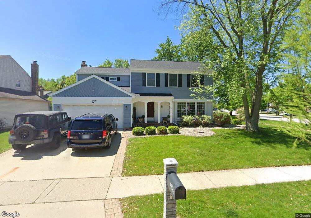
407 Linsey Ave Schaumburg, IL 60194
West Schaumburg NeighborhoodEstimated Value: $470,947 - $535,000
3
Beds
3
Baths
1,840
Sq Ft
$275/Sq Ft
Est. Value
About This Home
This home is located at 407 Linsey Ave, Schaumburg, IL 60194 and is currently estimated at $505,987, approximately $274 per square foot. 407 Linsey Ave is a home located in Cook County with nearby schools including Elizabeth Blackwell Elementary School, Jane Addams Junior High School, and Schaumburg High School.
Ownership History
Date
Name
Owned For
Owner Type
Purchase Details
Closed on
Jul 16, 2007
Sold by
Straub Paul G and Straub Cynthia R
Bought by
Thorson Gregory and Thorson Laura
Current Estimated Value
Home Financials for this Owner
Home Financials are based on the most recent Mortgage that was taken out on this home.
Original Mortgage
$278,400
Interest Rate
6.66%
Mortgage Type
Unknown
Create a Home Valuation Report for This Property
The Home Valuation Report is an in-depth analysis detailing your home's value as well as a comparison with similar homes in the area
Home Values in the Area
Average Home Value in this Area
Purchase History
| Date | Buyer | Sale Price | Title Company |
|---|---|---|---|
| Thorson Gregory | $348,000 | None Available |
Source: Public Records
Mortgage History
| Date | Status | Borrower | Loan Amount |
|---|---|---|---|
| Previous Owner | Thorson Gregory | $278,400 |
Source: Public Records
Tax History Compared to Growth
Tax History
| Year | Tax Paid | Tax Assessment Tax Assessment Total Assessment is a certain percentage of the fair market value that is determined by local assessors to be the total taxable value of land and additions on the property. | Land | Improvement |
|---|---|---|---|---|
| 2024 | $9,019 | $35,513 | $8,287 | $27,226 |
| 2023 | $8,717 | $35,513 | $8,287 | $27,226 |
| 2022 | $8,717 | $35,513 | $8,287 | $27,226 |
| 2021 | $8,185 | $30,336 | $5,669 | $24,667 |
| 2020 | $8,112 | $30,336 | $5,669 | $24,667 |
| 2019 | $8,116 | $33,707 | $5,669 | $28,038 |
| 2018 | $7,472 | $28,331 | $4,797 | $23,534 |
| 2017 | $7,371 | $28,331 | $4,797 | $23,534 |
| 2016 | $7,586 | $29,961 | $4,797 | $25,164 |
| 2015 | $7,146 | $26,510 | $4,143 | $22,367 |
| 2014 | $7,084 | $26,510 | $4,143 | $22,367 |
| 2013 | $6,885 | $26,510 | $4,143 | $22,367 |
Source: Public Records
Map
Nearby Homes
- 413 Linsey Ave
- 508 N Walnut Ln
- 454 Willington Dr
- 569 N Walnut Ln
- 133 White Branch Ct S Unit 539
- 741 N Walnut Ln
- 604 N Brookdale Dr
- 2317 Broadway Ln
- 2312 Hyde Ct
- 198 Camden Ct Unit Z2
- 2216 Andover Ct
- 100 Waban Ct
- 1939 Weston Ln
- 808 Bishop Ct Unit 2
- 2342 Hamilton Place
- 8 Warwick Ct
- 135 S Walnut Ln
- 1968 Quaker Hollow Ln Unit 12
- 1425 Colwyn Dr
- 108 Idlestone Ln
- 409 Linsey Ave
- 2078 Arleen Ct
- 2072 Arleen Ct
- 2066 Arleen Ct
- 410 Linsey Ave
- 416 Linsey Ave
- 408 N Walnut Ln
- 2041 Ivy Ct Unit 2041
- 402 N Walnut Ln
- 2060 Arleen Ct
- 2079 Arleen Ct
- 422 Linsey Ave
- 2037 Ivy Ct Unit 2037
- 396 N Walnut Ln
- 2073 Arleen Ct
- 2030 Ivy Ct Unit 2030
- 420 N Walnut Ln
- 2067 Arleen Ct
- 2054 Arleen Ct
- 427 N Walnut Ln