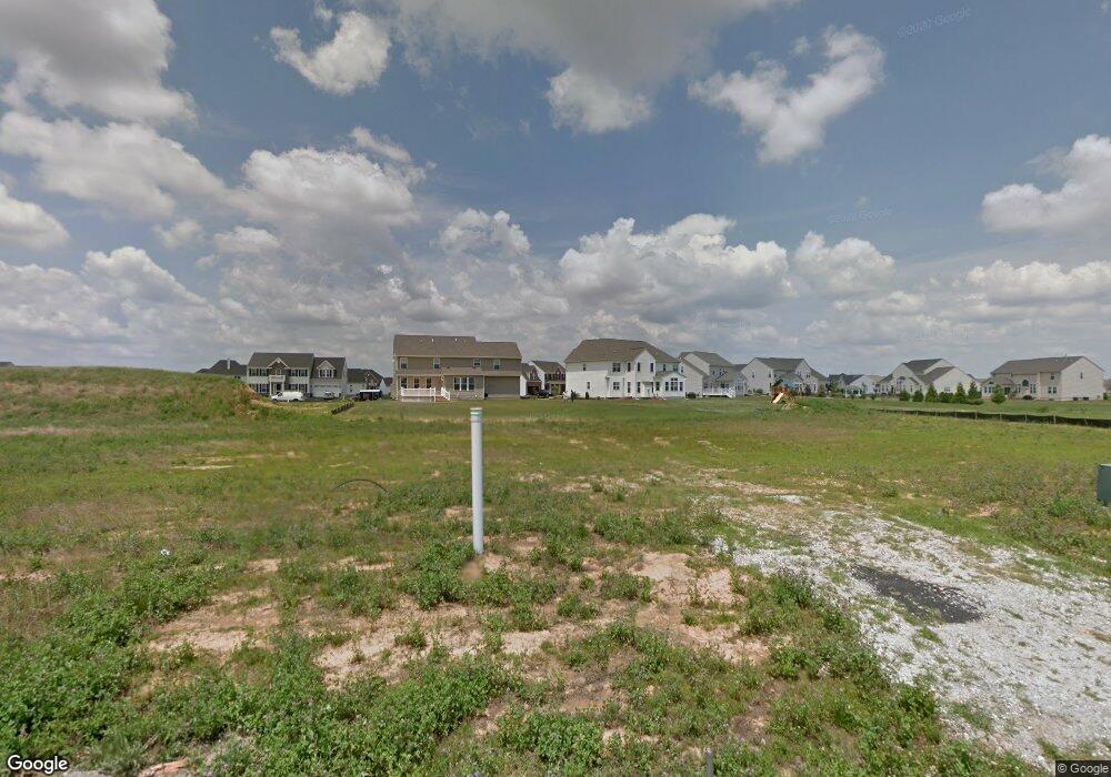
407 Orkney Rd Middletown, DE 19709
Estimated Value: $632,137 - $694,000
4
Beds
4
Baths
2,384
Sq Ft
$276/Sq Ft
Est. Value
About This Home
This home is located at 407 Orkney Rd, Middletown, DE 19709 and is currently estimated at $659,034, approximately $276 per square foot. 407 Orkney Rd is a home located in New Castle County with nearby schools including Bunker Hill Elementary School, Everett Meredith Middle School, and Appoquinimink High School.
Ownership History
Date
Name
Owned For
Owner Type
Purchase Details
Closed on
Jun 12, 2013
Sold by
Nvr Inc
Bought by
Marko Michael R and Marko Lorie L
Current Estimated Value
Home Financials for this Owner
Home Financials are based on the most recent Mortgage that was taken out on this home.
Original Mortgage
$307,032
Outstanding Balance
$218,599
Interest Rate
3.51%
Mortgage Type
New Conventional
Estimated Equity
$440,435
Purchase Details
Closed on
Apr 2, 2013
Sold by
St Annes Development Associates Llc
Bought by
Nvr Inc
Create a Home Valuation Report for This Property
The Home Valuation Report is an in-depth analysis detailing your home's value as well as a comparison with similar homes in the area
Home Values in the Area
Average Home Value in this Area
Purchase History
| Date | Buyer | Sale Price | Title Company |
|---|---|---|---|
| Marko Michael R | $383,790 | None Available | |
| Nvr Inc | $50,000 | None Available |
Source: Public Records
Mortgage History
| Date | Status | Borrower | Loan Amount |
|---|---|---|---|
| Open | Marko Michael R | $307,032 |
Source: Public Records
Tax History
| Year | Tax Paid | Tax Assessment Tax Assessment Total Assessment is a certain percentage of the fair market value that is determined by local assessors to be the total taxable value of land and additions on the property. | Land | Improvement |
|---|---|---|---|---|
| 2024 | -- | $109,400 | $13,800 | $95,600 |
| 2023 | $3,369 | $109,400 | $13,800 | $95,600 |
| 2022 | $3,364 | $109,400 | $13,800 | $95,600 |
| 2021 | $328 | $109,400 | $13,800 | $95,600 |
| 2020 | $328 | $109,400 | $13,800 | $95,600 |
| 2019 | $328 | $109,400 | $13,800 | $95,600 |
| 2018 | $2,883 | $109,400 | $13,800 | $95,600 |
| 2017 | $2,776 | $109,400 | $13,800 | $95,600 |
| 2016 | $2,494 | $109,400 | $13,800 | $95,600 |
| 2015 | $328 | $109,400 | $13,800 | $95,600 |
| 2014 | $2,734 | $109,400 | $13,800 | $95,600 |
Source: Public Records
Map
Nearby Homes
- 301 Braemar St
- 303 Braemar St
- 29 W Kilts Ln
- 20 W Kilts Ln
- 18 Haggis Rd
- 312 Galloway St
- 712 Wallasey Dr
- 772 Wallasey Dr
- 911 Cadman Dr
- 230 Anglesey Dr
- 1036 Applecross Dr
- 205 Clydia Ct
- 314 Clydia Ct
- 3010 Blackston Dr
- 3008 Blackston Dr
- 102 Witherspoon Way
- 104 Witherspoon Way
- 106 Witherspoon Way
- 108 Witherspoon Way
- 3002 Blackston Dr
- 405 Orkney Rd
- 409 Orkney Rd
- 506 E Glen Mare Dr
- 504 E Glenmare Dr
- 411 Orkney Rd
- 406 Orkney Rd
- 403 Orkney Rd
- 408 Orkney Rd
- 508 E Glen Mare Dr
- 404 Orkney Rd
- 502 E Glen Mare Dr
- 402 Orkney Rd
- 410 Orkney Rd
- 413 Orkney Rd
- 510 E Glen Mare Dr
- 412 Orkney Rd
- 205 E Crail Ct
- 203 E Crail Ct
- 507 E Glen Mare Dr
- 207 E Crail Ct
Your Personal Tour Guide
Ask me questions while you tour the home.