Estimated Value: $685,000 - $823,000
2
Beds
--
Bath
2,008
Sq Ft
$373/Sq Ft
Est. Value
About This Home
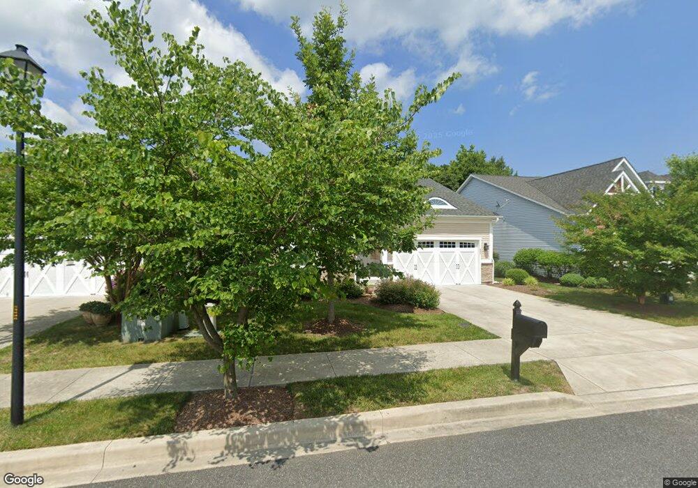
This home is located at 407 Samantha Dr, Lewes, DE 19958 and is currently estimated at $748,703, approximately $372 per square foot. 407 Samantha Dr is a home with nearby schools including Lewes Elementary School, Mariner Middle School, and Cape Henlopen High School.
Ownership History
Date
Name
Owned For
Owner Type
Purchase Details
Closed on
Feb 3, 2012
Bought by
Sosne Kenneth J and Sonse Mindy
Current Estimated Value
Home Financials for this Owner
Home Financials are based on the most recent Mortgage that was taken out on this home.
Original Mortgage
$279,100
Outstanding Balance
$191,853
Interest Rate
3.96%
Estimated Equity
$556,850
Purchase Details
Closed on
Jan 13, 2012
Bought by
Sosne Kenneth J and Sonse Mindy
Home Financials for this Owner
Home Financials are based on the most recent Mortgage that was taken out on this home.
Original Mortgage
$279,100
Outstanding Balance
$191,853
Interest Rate
3.96%
Estimated Equity
$556,850
Purchase Details
Closed on
Oct 25, 2011
Sold by
Lifetime Living Llc
Bought by
Nvr Inc
Create a Home Valuation Report for This Property
The Home Valuation Report is an in-depth analysis detailing your home's value as well as a comparison with similar homes in the area
Home Values in the Area
Average Home Value in this Area
Purchase History
| Date | Buyer | Sale Price | Title Company |
|---|---|---|---|
| Sosne Kenneth J | $348,953 | -- | |
| Sosne Kenneth J | $348,953 | -- | |
| Nvr Inc | $55,000 | -- |
Source: Public Records
Mortgage History
| Date | Status | Borrower | Loan Amount |
|---|---|---|---|
| Open | Sosne Kenneth J | $279,100 | |
| Closed | Sosne Kenneth J | $279,100 |
Source: Public Records
Tax History Compared to Growth
Tax History
| Year | Tax Paid | Tax Assessment Tax Assessment Total Assessment is a certain percentage of the fair market value that is determined by local assessors to be the total taxable value of land and additions on the property. | Land | Improvement |
|---|---|---|---|---|
| 2025 | $876 | $29,550 | $7,500 | $22,050 |
| 2024 | $1,023 | $29,550 | $7,500 | $22,050 |
| 2023 | $1,022 | $29,550 | $7,500 | $22,050 |
| 2022 | $969 | $29,550 | $7,500 | $22,050 |
| 2021 | $1,455 | $29,550 | $7,500 | $22,050 |
| 2020 | $1,451 | $29,550 | $7,500 | $22,050 |
| 2019 | $1,453 | $29,550 | $7,500 | $22,050 |
| 2018 | $1,298 | $29,550 | $0 | $0 |
| 2017 | $1,243 | $29,550 | $0 | $0 |
| 2016 | $1,180 | $29,550 | $0 | $0 |
| 2015 | $1,128 | $29,550 | $0 | $0 |
| 2014 | $1,120 | $29,550 | $0 | $0 |
Source: Public Records
Map
Nearby Homes
- 18321 Alpine Loop
- 322 Captains Cir
- 325 Captains Cir
- 149 Jacks Way Unit 18
- 306 Bayberry Dr
- Lot 79 New Rd
- 157 Tyler's Cir Unit 15
- 131 New Rd
- 305 Seagull Dr
- 159 Tylers Cir Unit 14
- The Bethany Plan at Fisher's Cove
- Cassidy Plan at Fisher's Cove
- 165 Tyler's Cir
- 179 Tyler's Cir Unit 6
- 33819 Joel Ln
- 33821 Joel Ln
- 15424 Solomon Way
- 33830 Joel Ln
- 113 New Rd
- 15407 Solomon Way
- 409 Samantha Dr
- 405 Samantha Dr
- 403 Samantha Dr
- 411 Samantha Dr
- 408 Samantha Dr
- 404 Samantha Dr
- 402 Samantha Dr
- 414 Samantha Dr
- 406 Samantha Dr
- 410 Samantha Dr
- 413 Samantha Dr
- 416 Samantha Dr
- 401 Samantha Dr
- 418 Samantha Dr
- 417 Samantha Dr
- 420 Samantha Dr
- 415 Samantha Dr
- 422 Samantha Dr
- 130 Carter Way
- 128 Carter Way