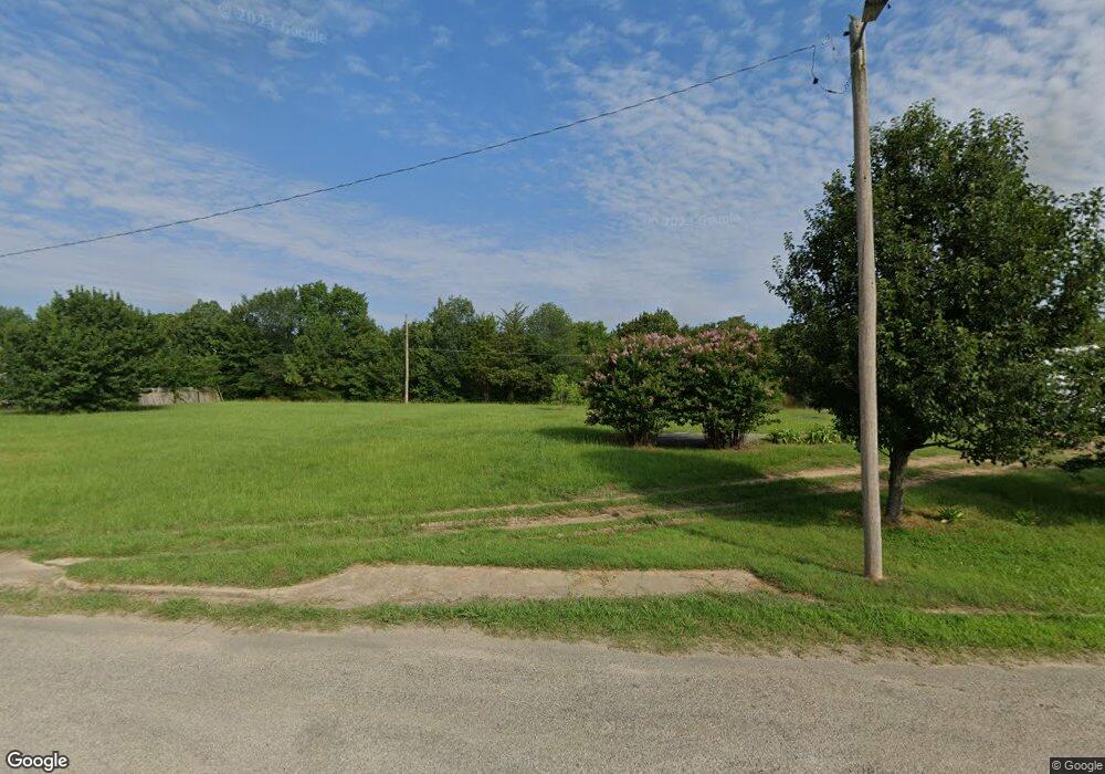
407 Umstead Colbert, OK 74733
Estimated Value: $80,000 - $222,000
Studio
--
Bath
--
Sq Ft
13,939
Sq Ft Lot
About This Home
This home is located at 407 Umstead, Colbert, OK 74733 and is currently estimated at $131,667. 407 Umstead is a home located in Bryan County with nearby schools including Ward Elementary School West and Colbert High School.
Ownership History
Date
Name
Owned For
Owner Type
Purchase Details
Closed on
May 27, 2004
Sold by
Burns Rayburn and Burns Betty
Bought by
Liverman Billie and Liverman Cheryl
Current Estimated Value
Purchase Details
Closed on
Aug 21, 2002
Sold by
Burns Roy D
Bought by
Burns Rayburn and Burns Betty J
Purchase Details
Closed on
May 20, 2002
Sold by
Bradshawmack&Opal Trust
Bought by
Burns Roy D
Purchase Details
Closed on
Aug 26, 1999
Sold by
Baxter Joe and Mary Jo
Bought by
Bradshaw,Mack&Opal Trust
Purchase Details
Closed on
Dec 18, 1998
Sold by
Posey Walter
Bought by
Baxter Joe B and Mary Jo
Create a Home Valuation Report for This Property
The Home Valuation Report is an in-depth analysis detailing your home's value as well as a comparison with similar homes in the area
Purchase History
| Date | Buyer | Sale Price | Title Company |
|---|---|---|---|
| Liverman Billie | $22,000 | -- | |
| Burns Rayburn | -- | -- | |
| Burns Roy D | $21,500 | -- | |
| Bradshaw,Mack&Opal Trust | $19,000 | -- | |
| Baxter Joe B | $15,000 | -- |
Source: Public Records
Tax History
| Year | Tax Paid | Tax Assessment Tax Assessment Total Assessment is a certain percentage of the fair market value that is determined by local assessors to be the total taxable value of land and additions on the property. | Land | Improvement |
|---|---|---|---|---|
| 2025 | $197 | $2,503 | $651 | $1,852 |
| 2024 | $233 | $2,959 | $651 | $2,308 |
| 2023 | $233 | $2,819 | $651 | $2,168 |
| 2022 | $215 | $2,760 | $647 | $2,113 |
| 2021 | $205 | $2,628 | $612 | $2,016 |
| 2020 | $197 | $2,503 | $579 | $1,924 |
| 2019 | $188 | $2,385 | $548 | $1,837 |
| 2018 | $185 | $2,271 | $715 | $1,556 |
| 2017 | $192 | $2,343 | $715 | $1,628 |
| 2016 | $237 | $2,880 | $687 | $2,193 |
| 2015 | $239 | $2,880 | $687 | $2,193 |
| 2014 | $244 | $2,743 | $550 | $2,193 |
Source: Public Records
Map
Nearby Homes
- 204 Umstead
- 169 Cardinal Ln
- 215 E Leecraft Ave
- 0000 Hummingbird
- Tbd Private Rd
- 712 Pemberly
- 707 Pemberly
- 210 N Collins St
- 210 Maple Ave
- 312 Godfrey Ave
- 355 Butterfield Trail
- 226 Cordell Rd
- 236 Pecan Acres Ln
- 236 Floyd Everett Ln
- 6915 Sims Rd
- 26 N3640 Rd
- 20 N3640 Rd
- 37 N3640 Rd
- 25 N3640 Rd
- 31 N3640 Rd
Your Personal Tour Guide
Ask me questions while you tour the home.